
Stock image Topographic Form
Moving Sand Dunes Cover The Surface Of The Taklamakan Desert Forming Chains Of These Eolian Topographic Forms-some Of Them Reaching Up To 300 Ms.high. Yutian Keriya County-Xinjiang Uyghur Region-China
Image, 13.63MB, 3400 × 5100 jpg
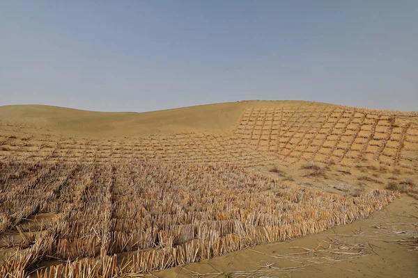
Straw Checkerboard Sand Control Barriers. Hotan Prefecture-Xinjiang Uyghur Region-China-0002
Image, 16.86MB, 5100 × 3400 jpg
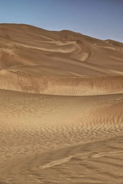
Sand Ridges Of Megadunes Overlooking The SW.shore Of Sumu Barun Jaran Lake Illuminated By The Morning Light Of An Unevenly Sparsely Cloudy Sky. Badain Jaran Desert-Alxa Plateau-Inner Mongolia-China.
Image, 14.13MB, 3600 × 5400 jpg
Undulating Sands Of The Megadune Overlooking The W.shore Of Sumu Jaran Lake Illuminated By The Warm Light Of Sunset Under A Menacing Leaden Sky. Badain Jaran Desert-Alxa Plateau-Inner Mongolia-China.
Image, 10.16MB, 5400 × 3600 jpg
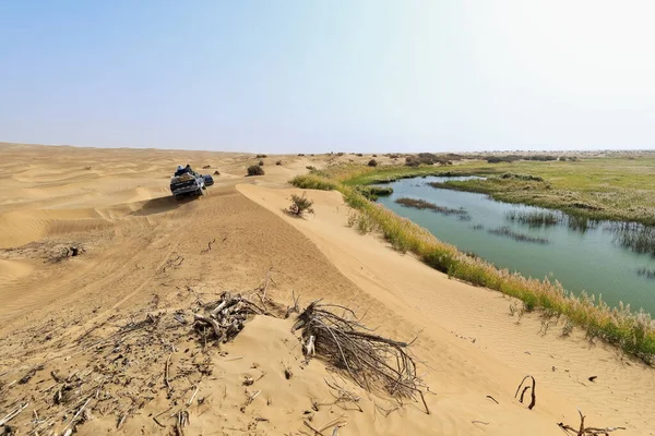
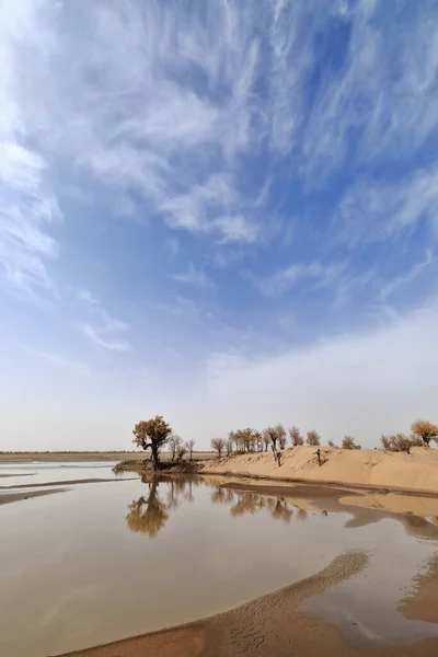
Keriya River Supplies Several Oases-flows N.into The TaklaMakan Desert To An Endorheic Delta Where It Gets Lost In The Sand-off Road Vehicles Running Along. Yutian County-Xinjiang Uyghur Region-China.
Image, 12.73MB, 5100 × 3400 jpg
Moving Sand Dunes Cover The Surface Of The Taklamakan Desert Forming Chains Of These Eolian Topographic Forms-some Of Them Reaching Up To 300 Ms.high. Yutian Keriya County-Xinjiang Uyghur Region-China
Image, 11.68MB, 5100 × 3400 jpg

Tourist Leaves Footprints On A Sand Ridge While Climbing The Mounds On The Windward-W.facing Slope Of Megadunes Shaping The Sumu Barun Jaran Lake's E.shore. Badain Jaran Desert-Inner Mongolia-China.
Image, 15.08MB, 3600 × 5400 jpg

Tire Tracks In The Megadune Overlooking The East Shore Of Sumu Jaran Lake Illuminated By The Warm Light Of Sunset Under A Menacing Leaden Sky. Badain Jaran Desert-Alxa Plateau-Inner Mongolia-China.
Image, 11.71MB, 5400 × 3600 jpg
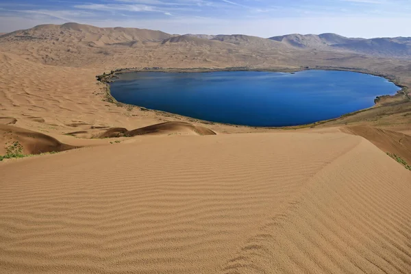
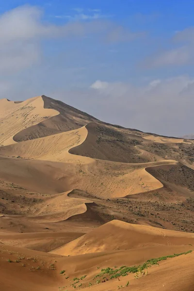
Full View Nuoertu Lake -biggest In The Badain Jaran Desert With 1'45 Km2- And Eastern Megadunes Seen From The 420 Ms.high Of Its Western Megadune Under Hazy-scant Cloudy Blue Sky. Inner Mongolia-China
Image, 16.31MB, 5400 × 3600 jpg
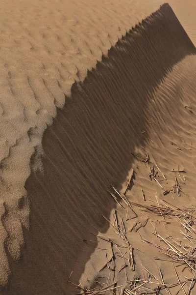
Moving Sand Dunes Cover The Surface Of The Taklamakan Desert Forming Chains Of These Eolian Topographic Forms-some Of Them Reaching Up To 300 Ms.high. Yutian Keriya County-Xinjiang Uyghur Region-China
Image, 10.84MB, 3400 × 5100 jpg

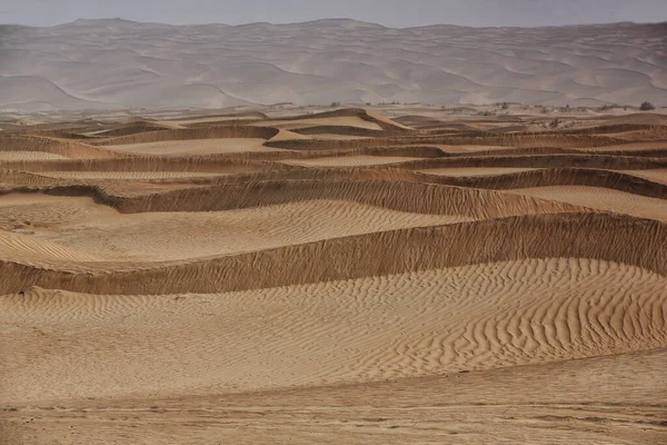
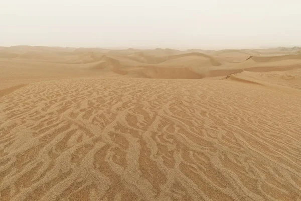
Diffused Sunrise Light-Taklamakan Shifting Dunes Along 233 Prov.Road Between Shamo Expwy.and 315 Nnal.Road Running N.and E.across The Desert. Qiemo Cherchen-Bayingolin Pref.-Xinjiang Uyghur Reg.-China
Image, 10.71MB, 3000 × 4500 jpg
Keriya River Supplies Several Oases-flows N.into The TaklaMakan Desert To An Endorheic Delta Where It Gets Lost In The Sand. Keriya Yutian County-Hotan Pref.-Xinjiang Uyghur Autonomous Region-China.
Image, 9.53MB, 3400 × 5100 jpg

Sand Ridges Of Megadunes Overlooking The S+W.shores Of Sumu Barun Jaran Lake Illuminated By The Warm Light Of Morning Under A Hazy Cloudy Sky. Badain Jaran Desert-Alxa Plateau-Inner Mongolia-China.
Image, 12.85MB, 5400 × 3600 jpg
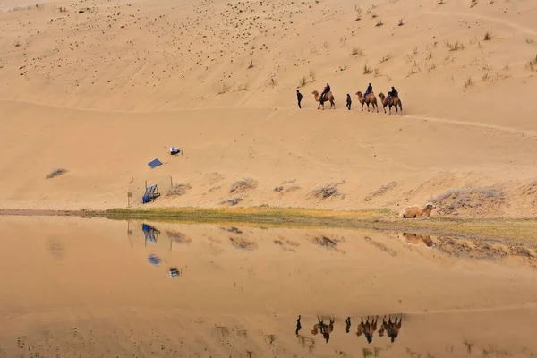
Lake Badain Reflects A Small Tourist Group Starting A Ride On Bactrian Camels Across The Badain Jaran-Badanjilin Shamo-Mysterious Lakes Desert-section Of Gobi Desert. Alxa Plateau-Inner Mongolia-China
Image, 12.63MB, 5400 × 3600 jpg
Diffused Light Of Morning Over Chains Of Moving Sand Dunes Covering The Surface Of The Taklamakan Desert Some Of Them Reaching Up To 300 Ms.high. Qiemo Cherchen County-Xinjiang Uyghur Region-China.
Image, 16.87MB, 5100 × 3400 jpg
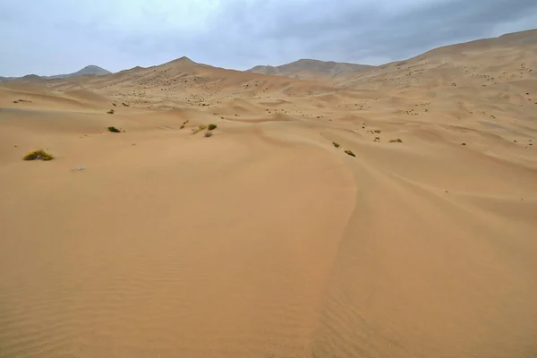
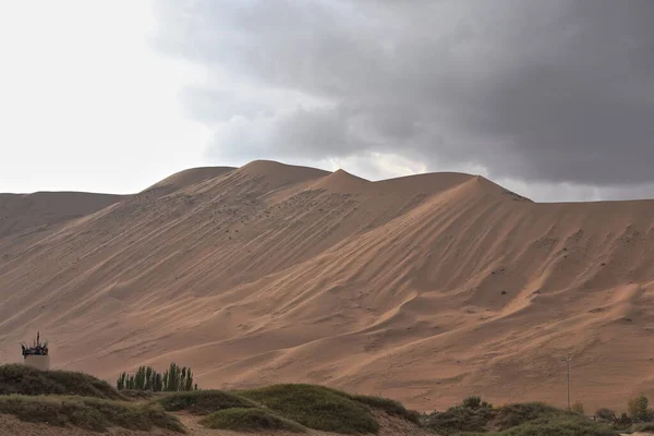
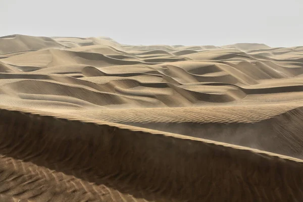
Chains Of Moving And Stationary Sand Dunes Cover The Badain Jaran Desert With Some Of Them Reaching Up To 500 Meters-tire Tracks On The Desert Floor-overcast Sky. Alxa Plateau-Inner Mongolia-China.
Image, 12.81MB, 5400 × 3600 jpg
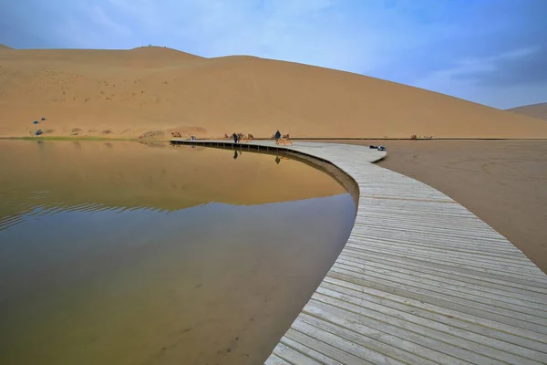
Wooden Boardwalk-N.shore Lake Badain East Going To The Tourist Camel Ride Starting Area. Badain Jaran-Badanjilin Shamo-Mysterious Lakes Desert-section Of Gobi Desert. Alxa Plateau-Inner Mongolia-China
Image, 12.39MB, 5400 × 3600 jpg
Early Morning Light Over Chains Of Barchans-moving Sand Dunes Covering The Surface Of The Taklamakan Desert Some Of Them Reaching Up To 300 Ms.high. Qiemo Cherchen County-Xinjiang Uyghur Region-China.
Image, 8.09MB, 5100 × 3400 jpg
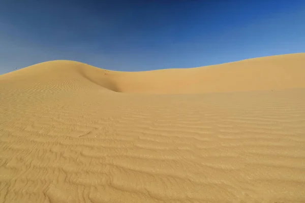
Wind-shaped Hollow And Pyramidal Sand Peak Molded In The Shifting Sands Topping The Megadunes Spread Under The Scorching Sun And Blue Sky Of The Badain Jaran Desert-Alxa Plateau-Inner Mongolia-China.
Image, 13.53MB, 5400 × 3600 jpg

Lonely Desert Poplar-Populus Euphratica Deciduous Tree With Bent-forked Double Stem Growing On The Slope Of A Sand Dune In The Taklamakan Desert. Keriya County-Xinjiang Uyghur Autonomous Region-China.
Image, 13.32MB, 5100 × 3400 jpg
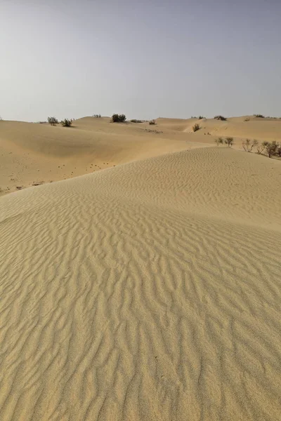
Shifting Sand Dunes-nitre Bushes-Takla Makan Desert. Hotan Prefecture-Xinjiang Uyghur Region-China-0009
Image, 18.08MB, 3400 × 5100 jpg
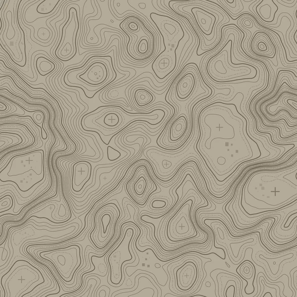
Topographical Vector Background With Place For Text. Geodesy Contouring Map Texture With Line Contours Of Terrain. Geographic Relief Mountains Landscape. Topography And Cartography Pattern
Vector, 1.36MB, 5000 × 5000 eps
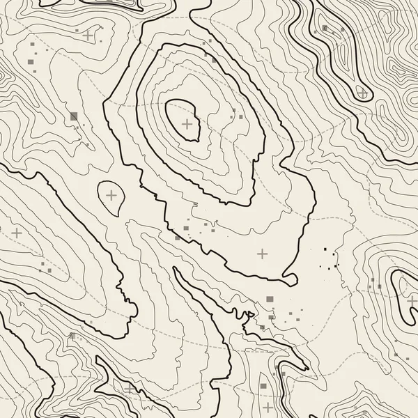
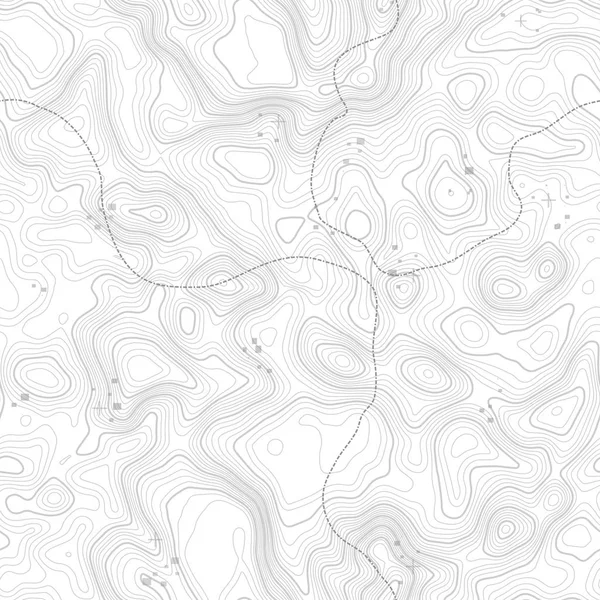
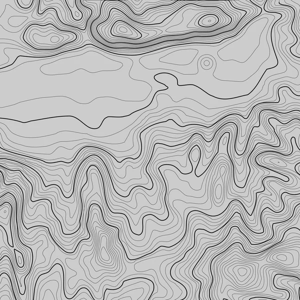
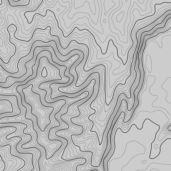
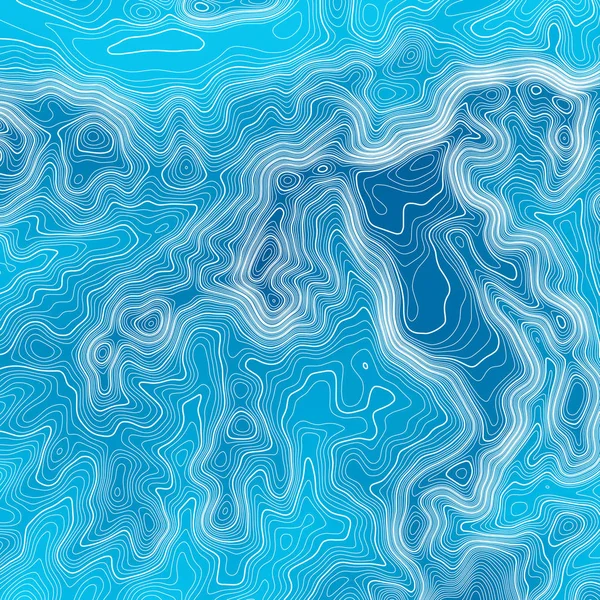
Seamless Pattern. Topographic Map Background With Space For Copy Seamless Texture. Line Topography Map Contour Background , Geographic Grid . Mountain Hiking Trail Over Terrain .
Vector, 2.35MB, 5000 × 5000 eps
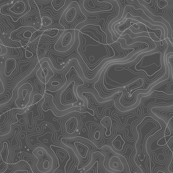
Seamless Pattern. Topographic Map Background With Space For Copy Seamless Texture. Line Topography Map Contour Background , Geographic Grid . Mountain Hiking Trail Over Terrain .
Vector, 4.82MB, 5000 × 5000 eps
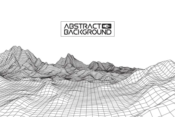
Abstract Vector Wireframe Landscape Background. Cyberspace Grid. 3d Technology Wireframe Vector Illustration. Digital Wireframe Landscape For Presentations .
Vector, 2.93MB, 7494 × 4994 eps

Abstract 3d Illuminated Distorted Mesh Sphere . Neon Sign . Futuristic Technology HUD Element . Elegant Destroyed . Big Data Visualization .
Vector, 4.49MB, 12000 × 6750 eps

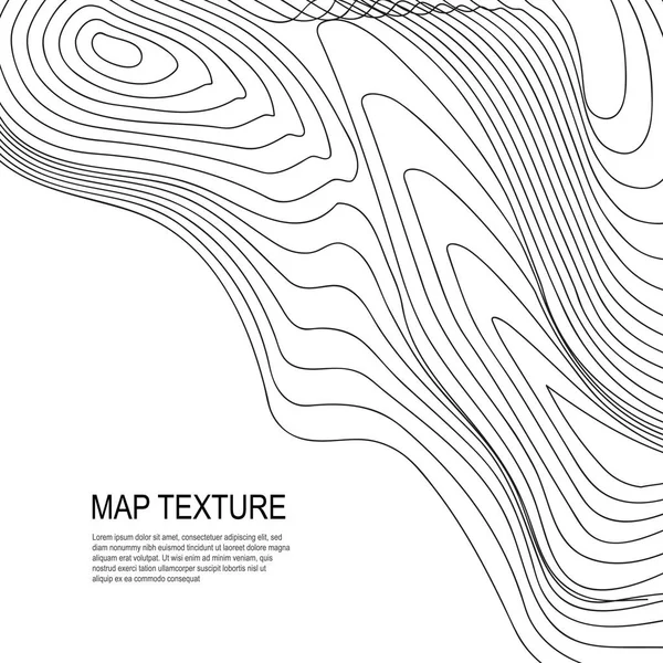
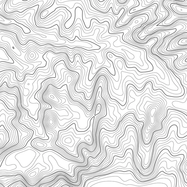
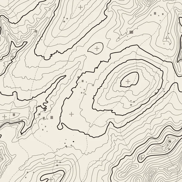
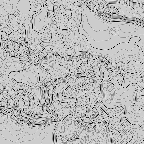
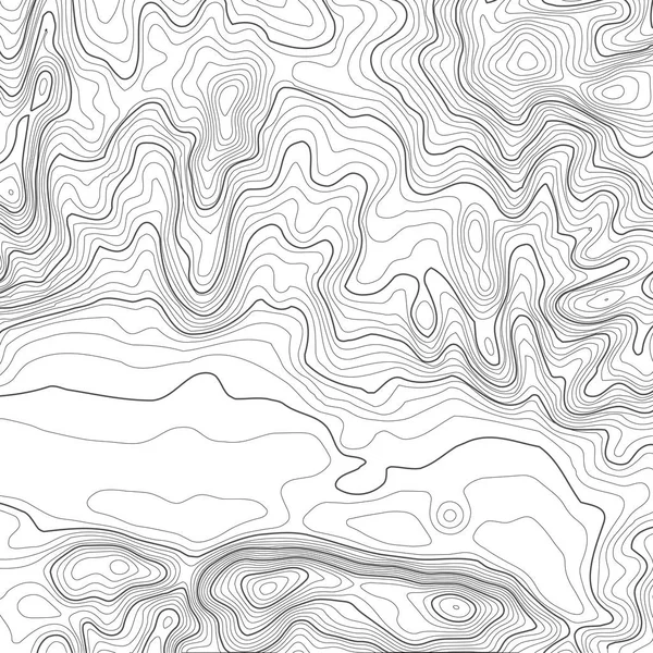
Topographic Map Background With Space For Copy . Line Topography Map Contour Background , Geographic Grid Abstract Vector Illustration . Mountain Hiking Trail Over Terrain .
Vector, 1.96MB, 5000 × 5000 eps
Seamless Pattern. Topographic Map Background With Space For Copy Seamless Texture. Line Topography Map Contour Background , Geographic Grid . Mountain Hiking Trail Over Terrain .
Vector, 4.51MB, 5000 × 5000 eps
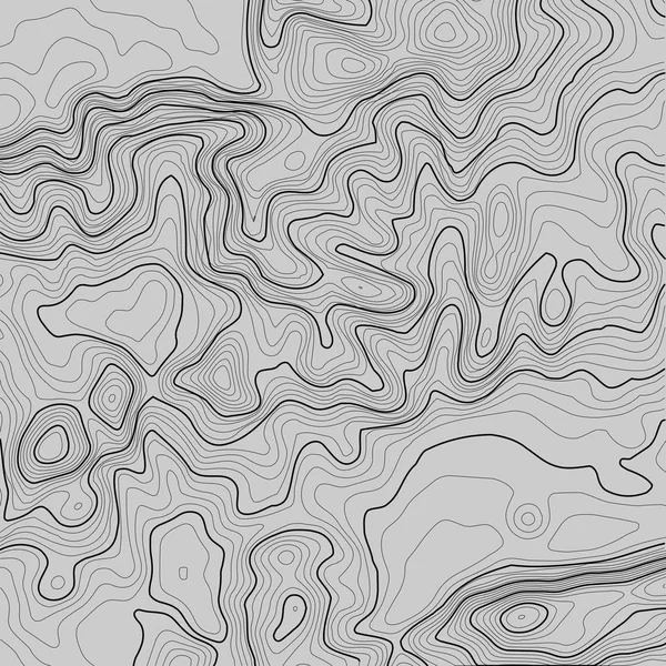
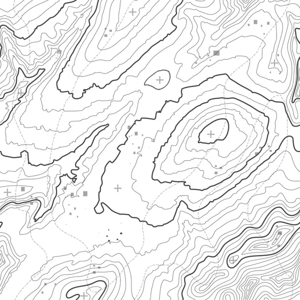
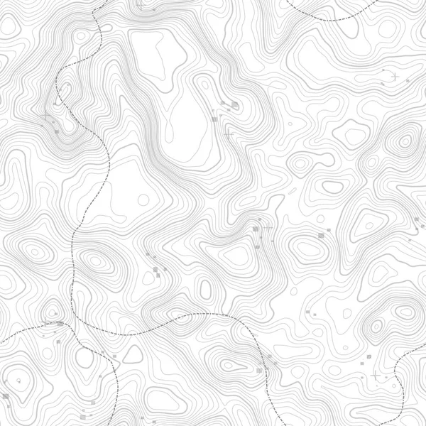
Topographic Map Background With Space For Copy . Line Topography Map Contour Background , Geographic Grid Abstract Vector Illustration . Mountain Hiking Trail Over Terrain .
Vector, 1.97MB, 5000 × 5000 eps
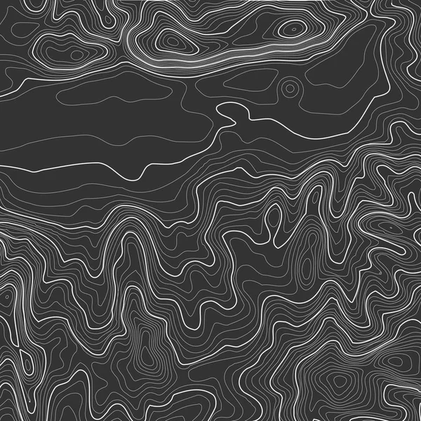
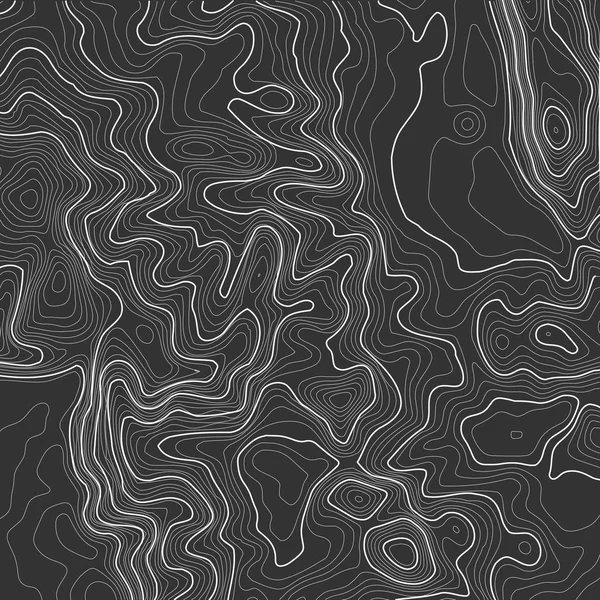
Topographic Map Background With Space For Copy . Line Topography Map Contour Background , Geographic Grid Abstract Vector Illustration . Mountain Hiking Trail Over Terrain .
Vector, 1.93MB, 5000 × 5000 eps

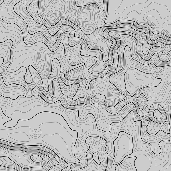
Topographic Map Background With Space For Copy . Line Topography Map Contour Background , Geographic Grid Abstract Vector Illustration . Abstract Geometric Lines .
Vector, 3.76MB, 5000 × 3250 eps
Topographic Map Background With Space For Copy . Line Topography Map Contour Background , Geographic Grid Abstract Vector Illustration . Mountain Hiking Trail Over Terrain .
Vector, 1.93MB, 5000 × 5000 eps

Topographic Map Background With Space For Copy . Line Topography Map Contour Background , Geographic Grid Abstract Vector Illustration . Mountain Hiking Trail Over Terrain .
Vector, 1.93MB, 5000 × 5000 eps

Topographic Map Background With Space For Copy . Line Topography Map Contour Background , Geographic Grid Abstract Vector Illustration . Mountain Hiking Trail Over Terrain .
Vector, 1.93MB, 5000 × 5000 eps

Seamless Pattern. Topographic Map Background With Space For Copy Seamless Texture. Line Topography Map Contour Background , Geographic Grid . Mountain Hiking Trail Over Terrain .
Vector, 2.33MB, 5000 × 5000 eps

Topographic Map Background With Space For Copy . Line Topography Map Contour Background , Geographic Grid Abstract Vector Illustration . Mountain Hiking Trail Over Terrain .
Vector, 1.93MB, 5000 × 5000 eps
Topographic Map Background With Space For Copy . Line Topography Map Contour Background , Geographic Grid Abstract Vector Illustration . Mountain Hiking Trail Over Terrain .
Vector, 1.93MB, 5000 × 5000 eps

Seamless Pattern. Topographic Map Background With Space For Copy Seamless Texture. Line Topography Map Contour Background , Geographic Grid . Mountain Hiking Trail Over Terrain .
Vector, 2.35MB, 5000 × 5000 eps
Seamless Pattern. Topographic Map Background With Space For Copy Seamless Texture. Line Topography Map Contour Background , Geographic Grid . Mountain Hiking Trail Over Terrain .
Vector, 2.34MB, 5000 × 5000 eps

Topographic Map Background With Space For Copy . Line Topography Map Contour Background , Geographic Grid Abstract Vector Illustration . Abstract Geometric Lines .
Vector, 1.88MB, 5000 × 5000 eps
Seamless Pattern. Topographic Map Background With Space For Copy Seamless Texture. Line Topography Map Contour Background , Geographic Grid . Mountain Hiking Trail Over Terrain .
Vector, 2.32MB, 5000 × 5000 eps
Topographic Map Background With Space For Copy . Line Topography Map Contour Background , Geographic Grid Abstract Vector Illustration . Mountain Hiking Trail Over Terrain .
Vector, 1.93MB, 5000 × 5000 eps

Topographic Map Background With Space For Copy . Line Topography Map Contour Background , Geographic Grid Abstract Vector Illustration . Mountain Hiking Trail Over Terrain .
Vector, 1.93MB, 5000 × 5000 eps
Topographic Map Background With Space For Copy . Line Topography Map Contour Background , Geographic Grid Abstract Vector Illustration . Mountain Hiking Trail Over Terrain .
Vector, 1.92MB, 5000 × 5000 eps
Topographic Map Background With Space For Copy . Line Topography Map Contour Background , Geographic Grid Abstract Vector Illustration . Mountain Hiking Trail Over Terrain .
Vector, 1.93MB, 5000 × 5000 eps
Seamless Pattern. Topographic Map Background With Space For Copy Seamless Texture. Line Topography Map Contour Background , Geographic Grid . Mountain Hiking Trail Over Terrain .
Vector, 4.81MB, 5000 × 5000 eps
Topographic Map Background With Space For Copy . Line Topography Map Contour Background , Geographic Grid Abstract Vector Illustration . Mountain Hiking Trail Over Terrain .
Vector, 1.93MB, 5000 × 5000 eps
Topographic Map Background With Space For Copy . Line Topography Map Contour Background , Geographic Grid Abstract Vector Illustration . Abstract Geometric Lines .
Vector, 4.63MB, 5000 × 5000 eps
Topographic Map Background With Space For Copy . Line Topography Map Contour Background , Geographic Grid Abstract Vector Illustration . Mountain Hiking Trail Over Terrain .
Vector, 1.93MB, 5000 × 5000 eps
Seamless Pattern. Topographic Map Background With Space For Copy Seamless Texture. Line Topography Map Contour Background , Geographic Grid . Mountain Hiking Trail Over Terrain .
Vector, 3.84MB, 5000 × 5000 eps
Page 1 >> Next