
Stock image Topographical
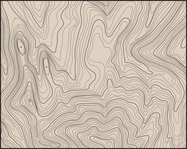
Topographic Map Backdrop. Conditional Geography Scheme And The Terrain Path. Contour Line Abstract Background.
Vector, 0.8MB, 7000 × 5000 eps
Topographic Map Lines, Earth Relief, Contour Background. Geographic Grid, Elevation Map, Vector Abstract.
Vector, 0.86MB, 4167 × 4167 ai


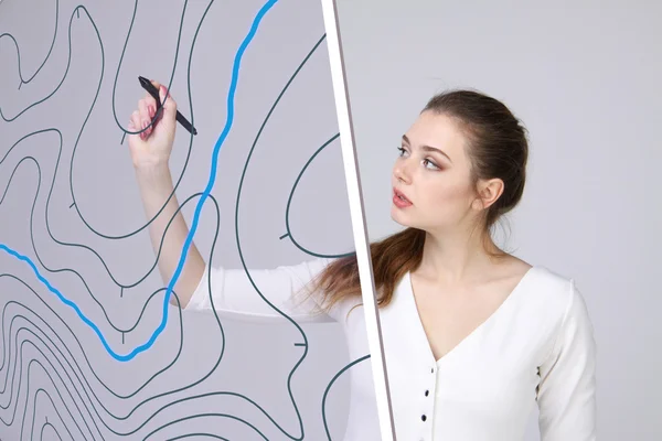
Geographic Information Systems Concept, Woman Scientist Working With Futuristic GIS Interface On A Transparent Screen.
Image, 2.78MB, 3015 × 2010 jpg

Geographic Information Systems Concept, Woman Scientist Working With Futuristic GIS Interface On A Transparent Screen.
Image, 3.29MB, 3750 × 2500 jpg

Geographic Information Systems Concept, Woman Scientist Working With Futuristic GIS Interface On A Transparent Screen.
Image, 5.57MB, 4000 × 4123 jpg


Double Exposure Construction Engineer Checking Construction Drawing With Modern City
Image, 18.86MB, 6016 × 4016 jpg

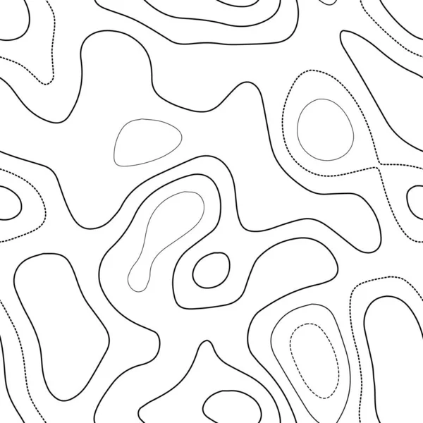
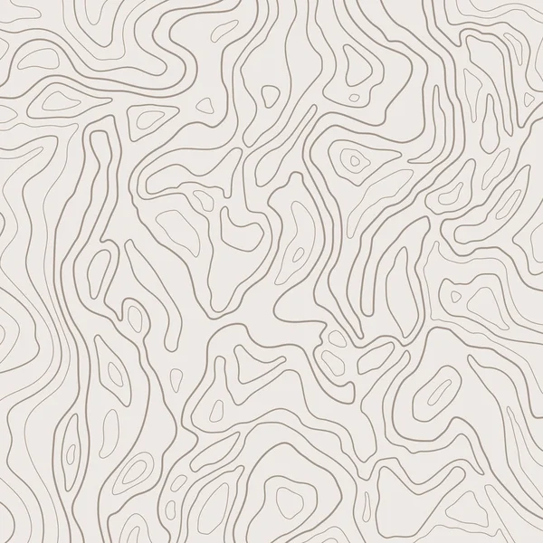
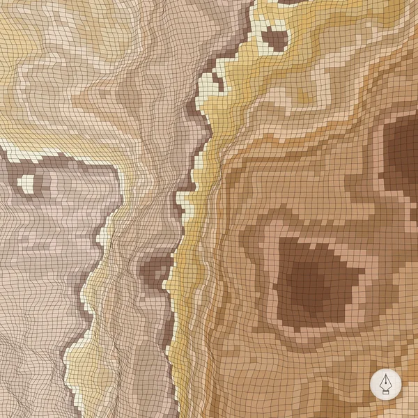
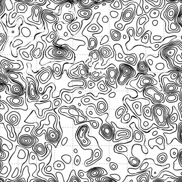
Terrain Topography Actual Topography Map Black And White Seamless Design Interesting Tileable
Vector, 1.9MB, 5478 × 5478 eps

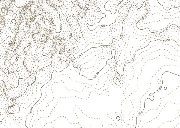
Topographic Map Background Actual Topography Map Futuristic Seamless Design Surprising Tileable
Vector, 6.85MB, 5478 × 5478 eps


Geographic Information Systems Concept, Woman Scientist Working With Futuristic GIS Interface On A Transparent Screen.
Image, 2.78MB, 3015 × 2010 jpg


United State Of America Flag In Correct Proportion And Official Web Colors. Vector Illustration.
Vector, 0.76MB, 6250 × 3289 eps
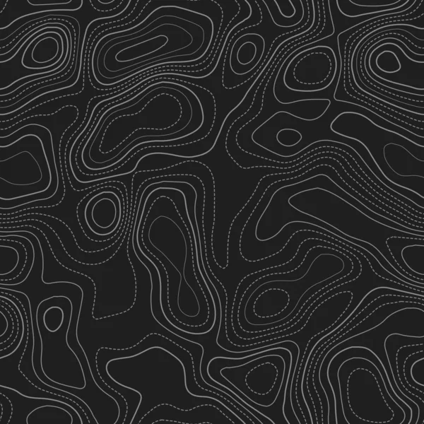
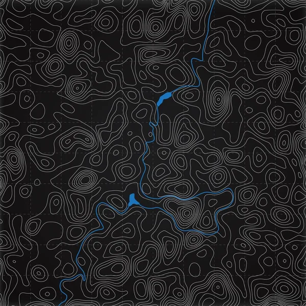
Terrain Topography Actual Topography Map Dark Seamless Design Fetching Tileable Isolines Pattern
Vector, 7.45MB, 5478 × 5478 eps

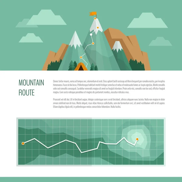
Mountain Trekking, Hiking, Climbing And Camping Concept. Hiking Trail Concept, Infographics.
Vector, 2.44MB, 6000 × 6000 eps


Nebraska City Line Icon. Element Of USA States Illustration Icons. Signs, Symbols Can Be Used For Web, Logo, Mobile App, UI, UX
Vector, 0.43MB, 10000 × 5000 eps


Contour Lines Actual Topography Map Dark Seamless Design Artistic Tileable Isolines Pattern
Vector, 2.85MB, 5478 × 5478 eps


Earth Globe Focused On Asia. Realistic Topographical Lands And Oceans With Bathymetry. 3D Object Isolated On White Background. Elements Of This Image Furnished By NASA
Image, 21.59MB, 6000 × 6000 jpg

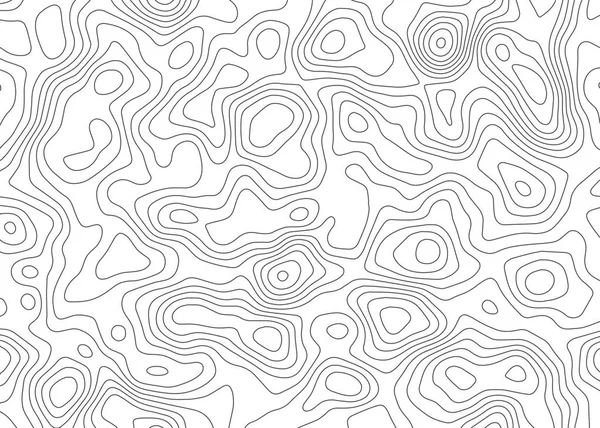
Mopographic Map. The Stylized Height Of The Topographic Contour In Lines And Contours. Vector Stock Illustration
Vector, 0.73MB, 4168 × 4167 eps


Topographic Maps Awesome Isoline Patterns Seamless Design Attractive Tileable Background Vector
Vector, 8.82MB, 5173 × 5817 eps

Topographic Map Backdrop. Conditional Geography Scheme And The Terrain Path. Contour Line Abstract Background.
Vector, 0.51MB, 7000 × 5000 eps

Geographic Information Systems Concept, Woman Scientist Working With Futuristic GIS Interface On A Transparent Screen.
Image, 4.77MB, 3750 × 2500 jpg


Page 1 >> Next