
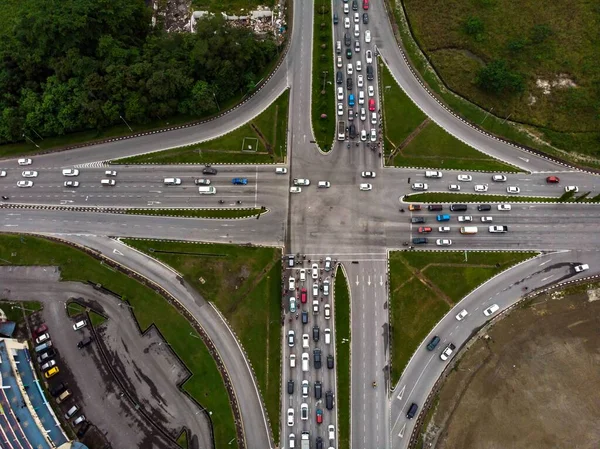
Stock image Uk Roads
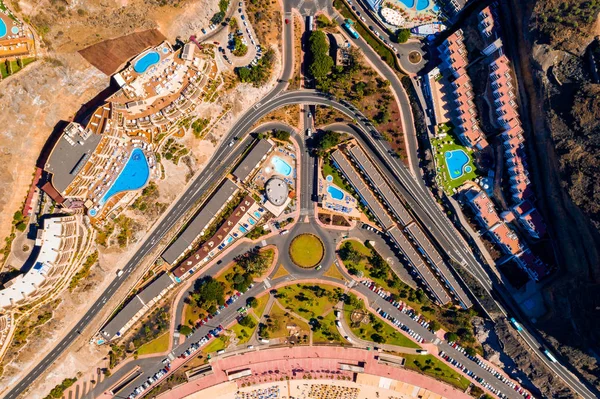
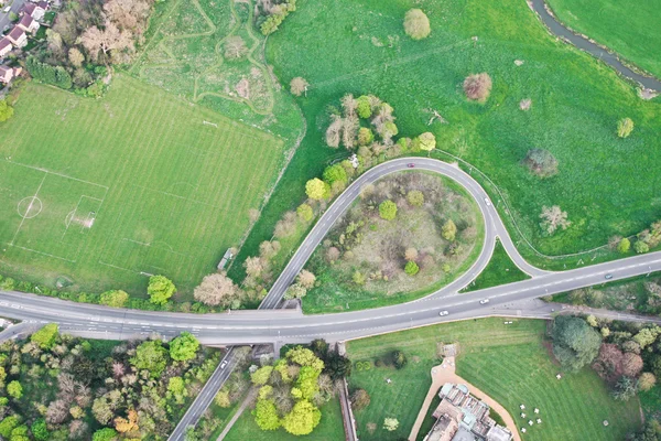
Aerial Top View Of Road Junction Motorway From Above, Automobile Traffic Cars, Transportation United Kingdom
Image, 4.28MB, 5472 × 3648 jpg

Red Double Decker Bus With Slogan Eat Waste Save The World In Central London.
Image, 5.42MB, 5547 × 3559 jpg
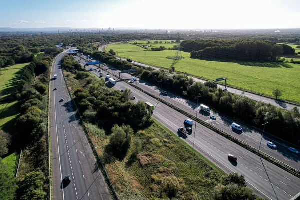
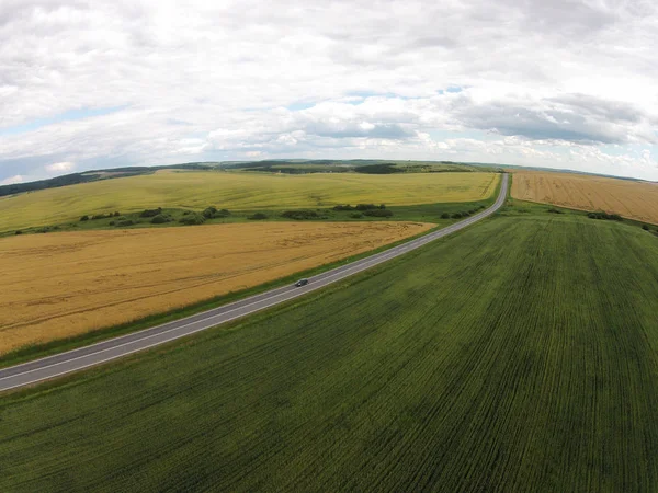
Aerial Drone Photo Of The Busy M1 Motorway With Three Bridges Crossing Over The Highway In The Village Of Barnsley In Sheffield UK In The Summer Time On A Bright Sunny Summers Day.
Image, 6.58MB, 4000 × 2250 jpg
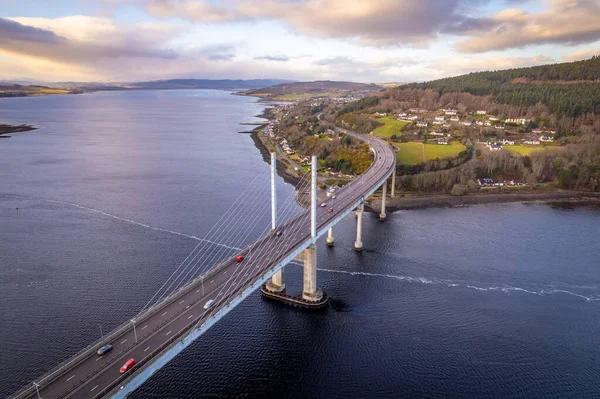
Bridge Spanning From North Kessock To Inverness Over The Beauly Firth Inverness
Image, 11.23MB, 5270 × 3511 jpg


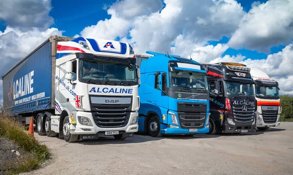
Four Commercial Articulated Lorries Or Trucks Each With A Load Capacity Of Up To 44 Tonnes Parked In A Line At The Lincoln Farm Truck Stop In Balsall Common, Solihull, West Midlands, UK
Image, 13.96MB, 6805 × 4079 jpg
Four Commercial Articulated Lorries Or Trucks Each With A Load Capacity Of Up To 44 Tonnes Parked In A Line At The Lincoln Farm Truck Stop In Balsall Common, Solihull, West Midlands, UK
Image, 16.97MB, 7272 × 4361 jpg


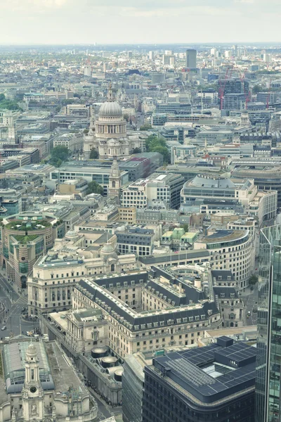
London's Roads In The Night. Panoramic View From The St. Paul Cathedral
Image, 4.98MB, 3112 × 2239 jpg


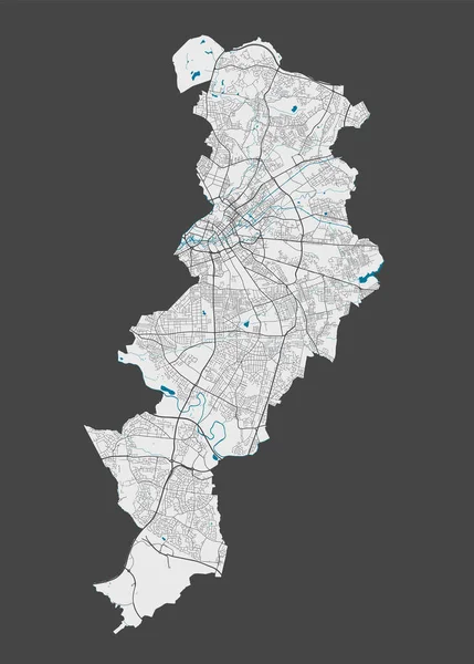
Manchester Map. Detailed Map Of Manchester City Administrative Area. Cityscape Panorama. Royalty Free Vector Illustration. Outline Map With Highways, Streets, Rivers. Tourist Decorative Street Map.
Vector, 7.68MB, 7483 × 10441 eps
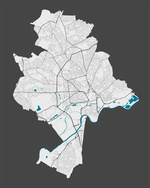
Nottingham Map. Detailed Map Of Nottingham City Administrative Area. Cityscape Panorama. Royalty Free Vector Illustration. Outline Map With Highways, Streets, Rivers. Tourist Decorative Street Map.
Vector, 6.33MB, 8116 × 10171 eps
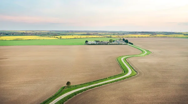

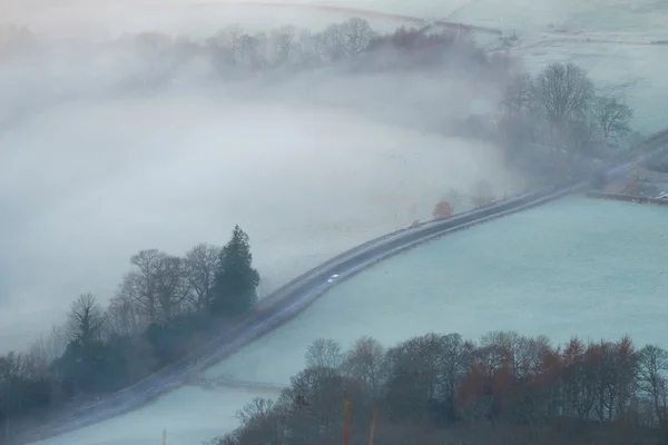
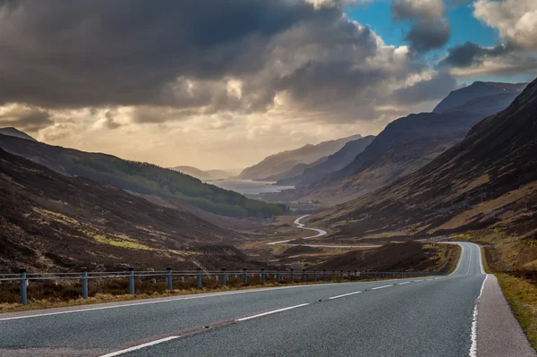
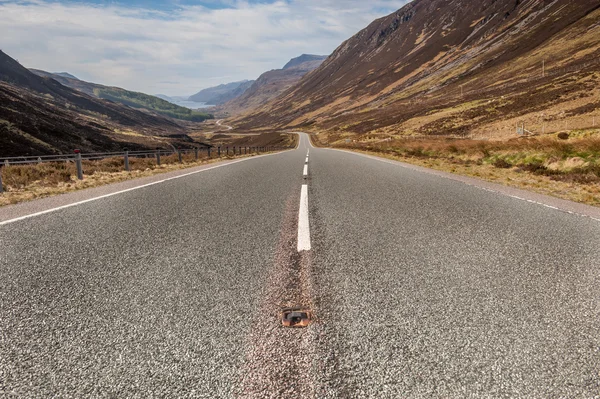
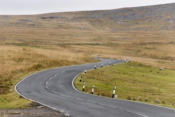
Looking Down The Military Road And The Surrounding Countryside, On The Isle Of Wight
Image, 12.72MB, 5588 × 3725 jpg


Newcastle Upon Tyne Map. Detailed Map Of Newcastle Upon Tyne City Administrative Area. Cityscape Panorama. Royalty Free Vector Illustration. Outline Map With Highways, Streets, Rivers.
Vector, 5.08MB, 10294 × 8463 eps


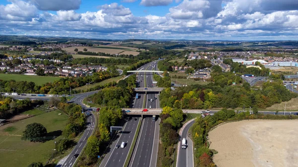
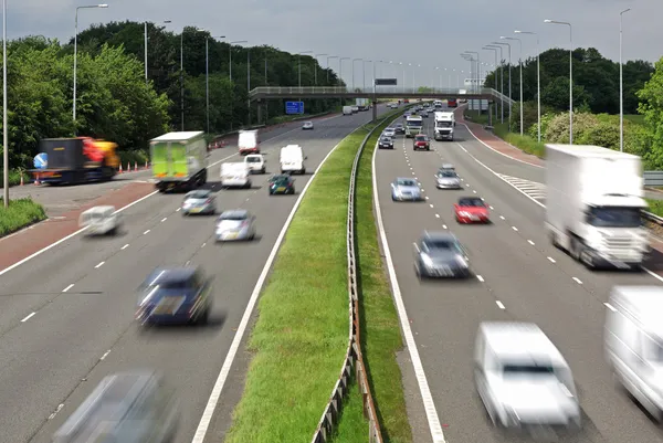
Night Time Traffic On The M62 Motorway Near West Yorkshire, England, UK
Image, 9.49MB, 4016 × 6016 jpg

Edinburgh Map. Detailed Map Of Edinburgh City Administrative Area. Cityscape Panorama. Royalty Free Vector Illustration. Outline Map With Highways, Streets, Rivers. Tourist Decorative Street Map.
Vector, 18.38MB, 4502 × 4037 eps

Birmingham Map. Detailed Map Of Birmingham City Administrative Area. Cityscape Panorama. Royalty Free Vector Illustration. Outline Map With Highways, Streets, Rivers. Tourist Decorative Street Map.
Vector, 16.02MB, 8367 × 9433 eps


Vector Poster Detailed City Map Belfast, Northern Ireland Data From OpenStreetMap.
Vector, 2.13MB, 1800 × 2520 eps

Coventry Map. Detailed Map Of Coventry City Administrative Area. Cityscape Panorama. Royalty Free Vector Illustration. Outline Map With Highways, Streets, Rivers. Tourist Decorative Street Map.
Vector, 6.59MB, 9854 × 8504 eps

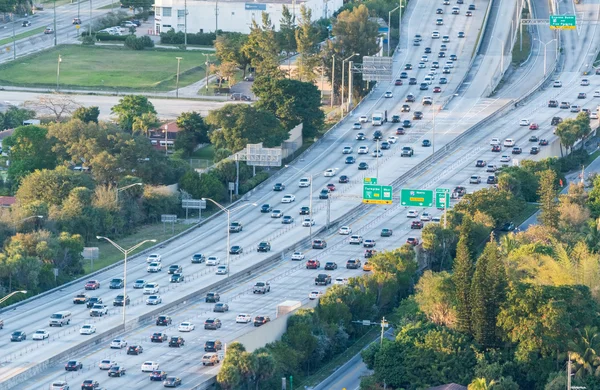
Highway Roads With Traffic In A Big City Viewed From The Sky In Evening
Image, 6.44MB, 3965 × 2970 jpg
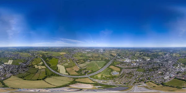
360 Degree Panoramic Sphere Aerial Photo Of The UK Village Of Cleckheaton In Bradford West Yorkshire In The UK Showing Farmers Fields Along Side The M63 Motorway In A Bright Sunny Summers Day
Image, 46.16MB, 11000 × 5500 jpg

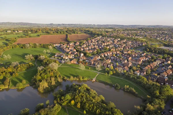
Aerial Photo Of The Town Of Aylesbury In The UK Showing Roads, Residential Properties, Rows Of Houses And Businesses.
Image, 7.98MB, 4048 × 3032 jpg


Cityscape View Of Centenary Square In Bradford West Yorkshire With People Sitting And Walking Past The City Hall And Town Centre
Image, 6.07MB, 4242 × 2934 jpg
Page 1 >> Next