photo free
Home Images Vectors Videos

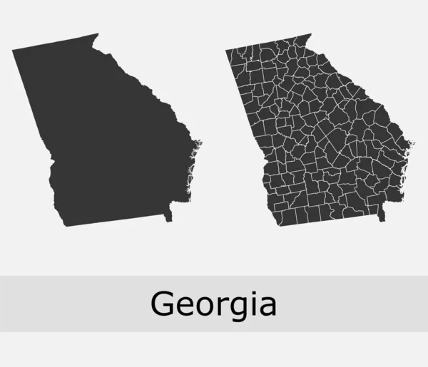
Stock image Us State Georgia Map page 2

stock vector Georgia State on USA Map. Georgia flag and map.

Georgia State On USA Map. Georgia Flag And Map.

Vector, 1.63MB, 5000 × 3663 eps
stock vector United States of America isolated map and Georgia state territory. vector USA political map. geographic banner design

United States Of America Isolated Map And Georgia State Territory. Vector USA Political Map. Geographic Banner Design

Vector, 0.71MB, 6000 × 4000 eps
stock vector Map of The United States of America (USA) State of Georgia - Illustration on White Background.

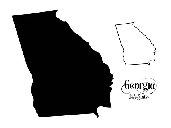
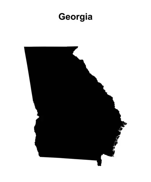
Map Of The United States Of America (USA) State Of Georgia - Illustration On White Background.

Vector, 0.98MB, 6667 × 5001 eps
stock vector Georgia line art map

Georgia Line Art Map

Vector, 2.56MB, 5000 × 5000 eps
stock vector Georgia counties vector map

Georgia Counties Vector Map

Vector, 7.74MB, 4717 × 4055 eps
stock vector Georgia, GA, political map, with capital Atlanta and largest cities. State in the southeastern region of the United States of America. Peach State. Empire State of the South.  Illustration. Vector.

Georgia, GA, Political Map, With Capital Atlanta And Largest Cities. State In The Southeastern Region Of The United States Of America. Peach State. Empire State Of The South. Illustration. Vector.

Vector, 5.5MB, 6000 × 6000 eps
stock vector set of US states maps

Set Of US States Maps

Vector, 1.82MB, 5000 × 5000 eps
stock vector Georgia State Map Flat Icon

Georgia State Map Flat Icon

Vector, 0.42MB, 5833 × 5833 eps
stock image US state with flag georgia

US State With Flag Georgia

Image, 1.39MB, 4500 × 5400 jpg
stock vector Georgia map icon. Georgia icon vector

Georgia Map Icon. Georgia Icon Vector

Vector, 0.2MB, 4375 × 4375 eps
stock vector Georgia map high quality vector. American state simple hand made line drawing map

Georgia Map High Quality Vector. American State Simple Hand Made Line Drawing Map

Vector, 0.05MB, 3500 × 3500 eps
stock vector State Georgia

State Georgia

Vector, 0.67MB, 5000 × 5000 eps
stock vector set of US states maps

Set Of US States Maps

Vector, 1.8MB, 5000 × 5000 eps
stock vector Sketch Georgia (United States of America) letter text map, Georgia map - in the shape of the continent, Map Georgia (U.S. state) - brown and black vector illustration

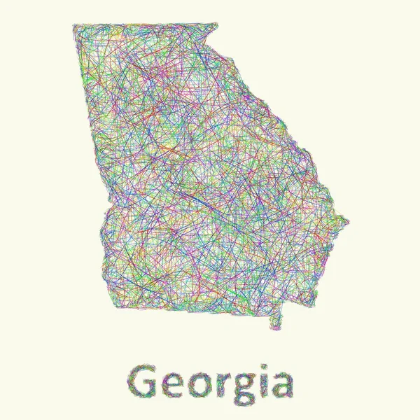
Sketch Georgia (United States Of America) Letter Text Map, Georgia Map - In The Shape Of The Continent, Map Georgia (U.S. State) - Brown And Black Vector Illustration

Vector, 1.06MB, 8427 × 4724 eps
stock vector Abstract multicolor vector set of political North America map with countries and capital name,border.Detailed modern illustration use for presentation,report,t-shirt,poster,geographical templates.Simplified isolated administrative hand drawn map.

Abstract Multicolor Vector Set Of Political North America Map With Countries And Capital Name,border.Detailed Modern Illustration Use For Presentation,report,t-shirt,poster,geographical Templates.Simplified Isolated Administrative Hand Drawn Map.

Vector, 15.63MB, 11591 × 8006 eps
stock vector Symbol Map of the State Georgia (United States of America) showing the contour of the state buffered inside in rainbow colors

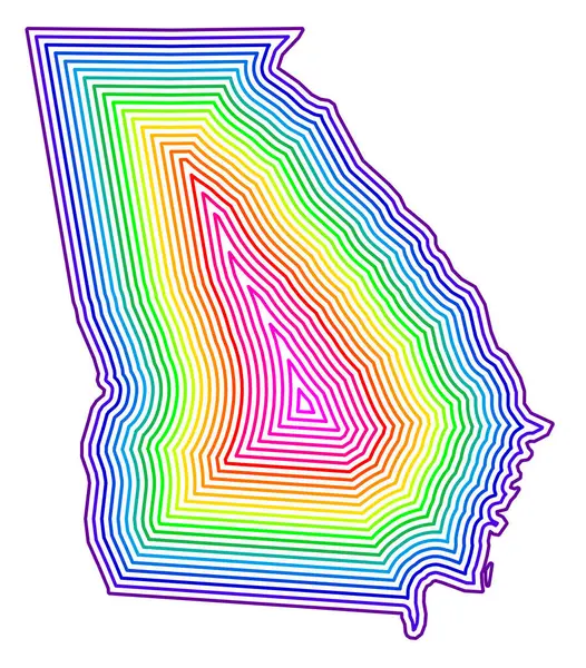
Symbol Map Of The State Georgia (United States Of America) Showing The Contour Of The State Buffered Inside In Rainbow Colors

Vector, 0.7MB, 5261 × 6000 eps
stock vector Georgia state blank outline map

Georgia State Blank Outline Map

Vector, 0.93MB, 4000 × 4800 eps
stock vector Map design concept of white color isolated on peacock blue background of Country Georgia - Vector illustration

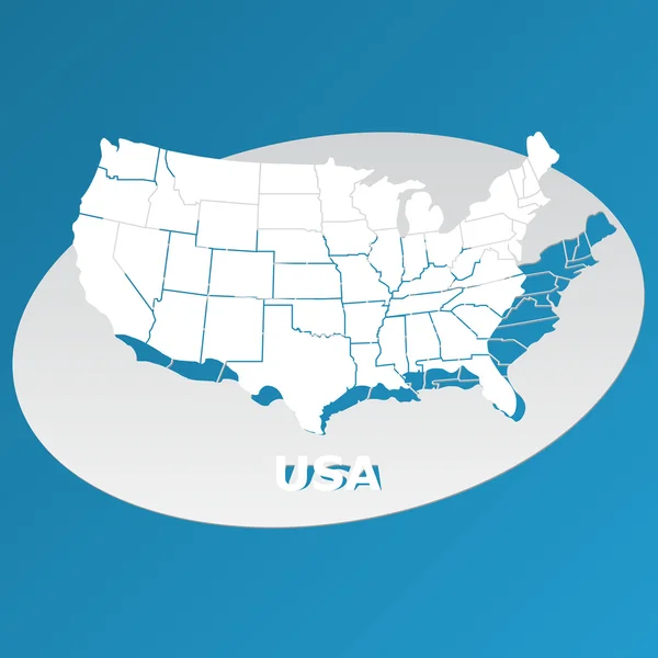
Map Design Concept Of White Color Isolated On Peacock Blue Background Of Country Georgia - Vector Illustration

Vector, 0.75MB, 6000 × 4000 eps
stock vector vector illustration of Georgia map, United States of America.

Vector Illustration Of Georgia Map, United States Of America.

Vector, 1.46MB, 6693 × 7520 eps
stock vector Georgia vector map silhouette. High detailed illustration. United state of America country

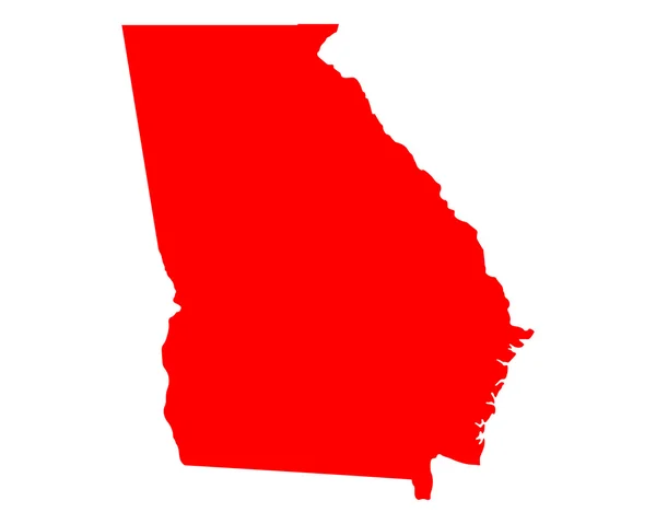
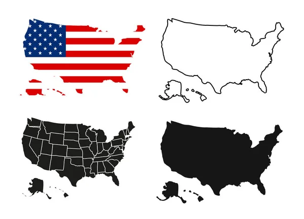
Georgia Vector Map Silhouette. High Detailed Illustration. United State Of America Country

Vector, 0.23MB, 4096 × 4096 eps
stock vector Georgia geometric map

Georgia Geometric Map

Vector, 0.01MB, 3427 × 4569 eps
stock vector map of the U.S. state of Georgia

Map Of The U.S. State Of Georgia

Vector, 0.72MB, 5000 × 5000 eps
stock vector Accurate map of Georgia

Accurate Map Of Georgia

Vector, 0.73MB, 4000 × 5000 eps
stock vector U.S. state of Georgia

U.S. State Of Georgia

Vector, 0.61MB, 5000 × 5000 eps
stock vector Map of Georgia

Map Of Georgia

Vector, 0.02MB, 5000 × 4000 eps
stock image United States Map - 3d Render Illusration

United States Map - 3d Render Illusration

Image, 2.27MB, 4096 × 2957 jpg
stock vector US map cover vector

US Map Cover Vector

Vector, 1.89MB, 6614 × 6614 ai
stock vector Outline Political US Map with titles of the states. All USA regions are separated and named in a layer panel

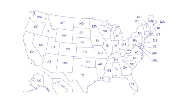
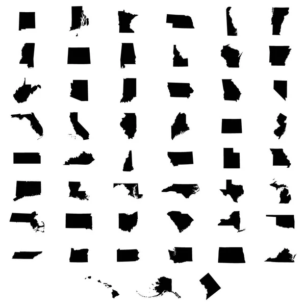
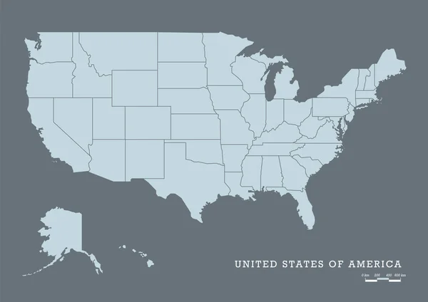
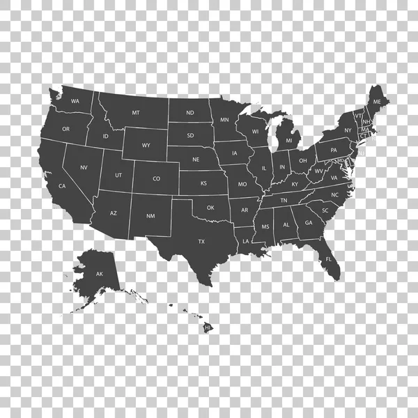
Outline Political US Map With Titles Of The States. All USA Regions Are Separated And Named In A Layer Panel

Vector, 0.61MB, 8192 × 4686 eps
stock vector Map United State

Map United State

Vector, 0.48MB, 5000 × 5000 eps
stock vector US map stars vector

US Map Stars Vector

Vector, 1.94MB, 6614 × 6614 ai
stock vector USA map

USA Map

Vector, 0.83MB, 2693 × 1878 eps
stock vector Map of America. United States Political map. US blueprint with the titles of states and regions. All countries are named in the layer panel.

Map Of America. United States Political Map. US Blueprint With The Titles Of States And Regions. All Countries Are Named In The Layer Panel.

Vector, 0.63MB, 8192 × 3657 eps
stock vector US election map. American Presidential Election results infographics template. All the states are separated and named in the layer panel.

US Election Map. American Presidential Election Results Infographics Template. All The States Are Separated And Named In The Layer Panel.

Vector, 1.51MB, 8192 × 4975 eps
stock vector Colorful political USA map

Colorful Political USA Map

Vector, 1.89MB, 5000 × 3750 eps
stock vector Detailed vintage map of United States of America with names of 5

Detailed Vintage Map Of United States Of America With Names Of 5

Vector, 25.88MB, 7296 × 4104 eps
stock vector USA map with federal states

USA Map With Federal States

Vector, 2.04MB, 7076 × 5000 eps
stock vector Map of the United States

Map Of The United States

Vector, 1.03MB, 4900 × 3673 eps
stock image World map vecor

World Map Vecor

Image, 0.76MB, 3850 × 2975 jpg
stock image World map

World Map

Image, 0.7MB, 3861 × 2970 jpg
stock vector US map stars cover vector

US Map Stars Cover Vector

Vector, 1.91MB, 6614 × 6614 ai
stock vector US election map. American Presidential Election results infographics template. All the states are separated and named in the layer panel.

US Election Map. American Presidential Election Results Infographics Template. All The States Are Separated And Named In The Layer Panel.

Vector, 1.5MB, 8192 × 4975 eps
stock image USA map

USA Map

Image, 0.7MB, 3160 × 2236 jpg
stock vector USA map with federal states. Vector illustration United states of America.

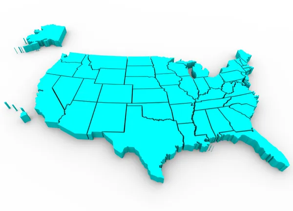
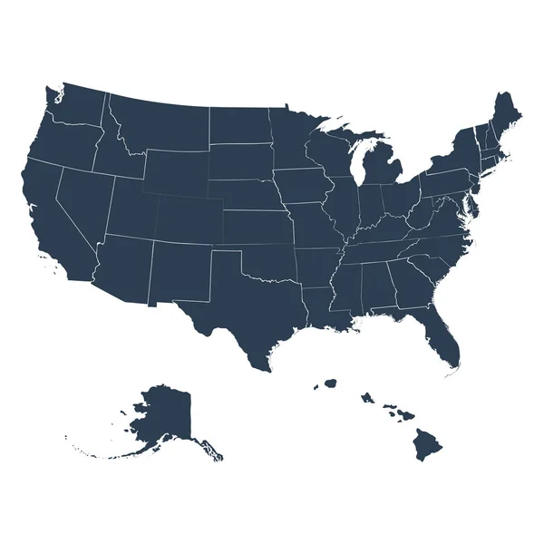
USA Map With Federal States. Vector Illustration United States Of America.

Vector, 2.03MB, 7000 × 7000 eps
stock vector USA map with states. Vector illustration

USA Map With States. Vector Illustration

Vector, 2.05MB, 7292 × 5258 eps
stock vector Usa vector map with states names

Usa Vector Map With States Names

Vector, 4.1MB, 2909 × 1900 eps
stock vector Political map of USA, United States of America, in four colors with white state names labels on white background. Vector illustration

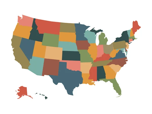
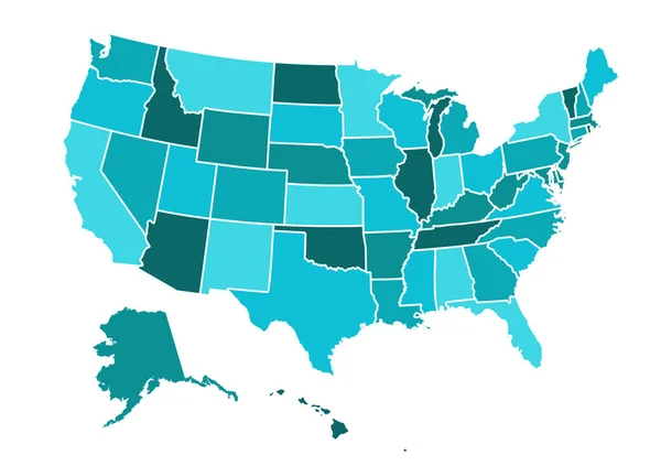
Political Map Of USA, United States Of America, In Four Colors With White State Names Labels On White Background. Vector Illustration

Vector, 0.59MB, 8000 × 6000 eps
stock vector the map of America on a white background

The Map Of America On A White Background

Vector, 3.03MB, 5000 × 5000 eps
stock vector US states in the map of America

US States In The Map Of America

Vector, 3.61MB, 5000 × 5000 eps
stock vector USA map vector illustration

USA Map Vector Illustration

Vector, 1.35MB, 3160 × 2228 eps
stock vector Political map of USA, United States of America, in four colors on white background. Vector illustration

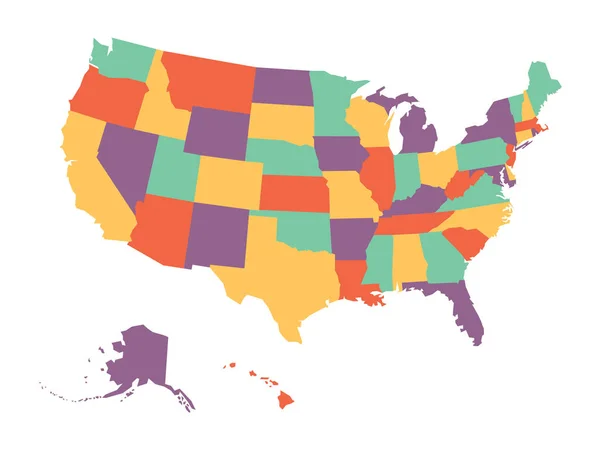
Political Map Of USA, United States Of America, In Four Colors On White Background. Vector Illustration

Vector, 0.6MB, 6000 × 4500 eps
Previous << Page 2 >> Next