photo free
Home Images Vectors Videos

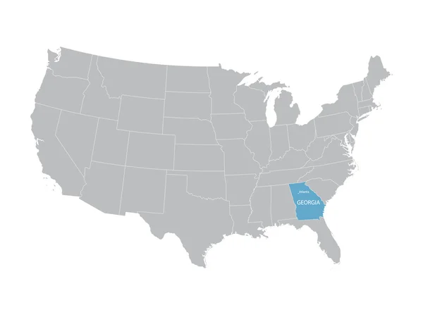
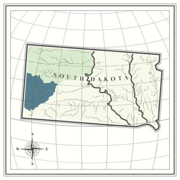
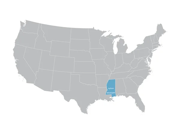
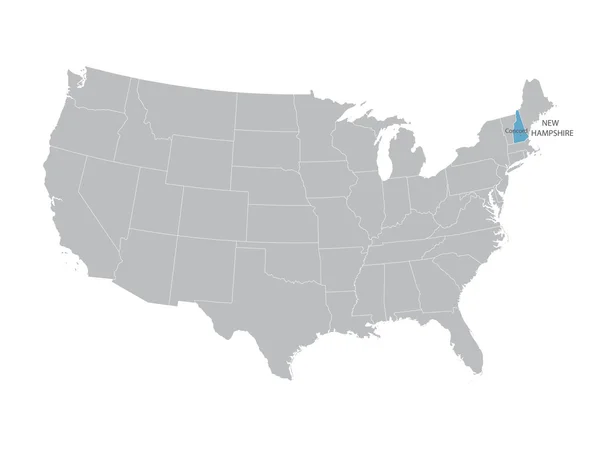
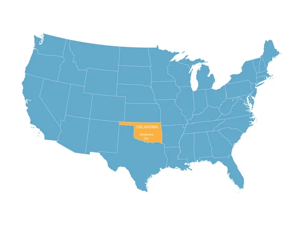
Stock image Usa Line Map page 4

stock vector Abstract polygonal world map with glowing dots and lines, network connections. Vector illustration. Eps 10

Abstract Polygonal World Map With Glowing Dots And Lines, Network Connections. Vector Illustration. Eps 10

Vector, 1.19MB, 5453 × 3480 eps
stock vector grey vector map of United States with indication of Georgia

Grey Vector Map Of United States With Indication Of Georgia

Vector, 1.72MB, 4600 × 3450 eps
stock vector Abstract world map of dots and lines, network connections

Abstract World Map Of Dots And Lines, Network Connections

Vector, 1.05MB, 5240 × 3660 eps
stock vector Sketch of World map

Sketch Of World Map

Vector, 4.42MB, 5000 × 3750 eps
stock vector Abstract mash line and point scales on dark background with Map of usa. Wire frame 3D mesh polygonal network line, design sphere, dot and structure. communications map of usa. Vector.

Abstract Mash Line And Point Scales On Dark Background With Map Of Usa. Wire Frame 3D Mesh Polygonal Network Line, Design Sphere, Dot And Structure. Communications Map Of Usa. Vector.

Vector, 1.47MB, 5000 × 3500 eps
stock image low polygon 3d world map on white background

Low Polygon 3d World Map On White Background

Image, 6.36MB, 7000 × 4959 jpg
stock vector Map of USA

Map Of USA

Vector, 1.24MB, 6000 × 4500 eps
stock vector Abstract world map of dots and line. Vector illustration. Eps 10

Abstract World Map Of Dots And Line. Vector Illustration. Eps 10

Vector, 0.94MB, 5237 × 3659 eps
stock vector Map of United States of America. Vector illustration

Map Of United States Of America. Vector Illustration

Vector, 1.21MB, 6250 × 5000 eps
stock vector vector color worldwide map of local time zones

Vector Color Worldwide Map Of Local Time Zones

Vector, 13.57MB, 7292 × 4500 eps
stock vector Abstract Massachusetts / USA telecommunication map concept

Abstract Massachusetts / USA Telecommunication Map Concept

Vector, 12.77MB, 2500 × 2500 eps
stock vector vector map of United States with indication of Alabama

Vector Map Of United States With Indication Of Alabama

Vector, 1.73MB, 4600 × 3450 eps
stock vector America Centered Political World Map isolated on white

America Centered Political World Map Isolated On White

Vector, 16.73MB, 8192 × 5613 eps
stock vector Abstract polygonal world map with dots and lines, network connections

Abstract Polygonal World Map With Dots And Lines, Network Connections

Vector, 0.9MB, 5376 × 3360 eps
stock vector Montana network map.

Montana Network Map.

Vector, 8.93MB, 8333 × 8333 eps
stock vector United States of America USA map outline with stars and lines abstract framework.

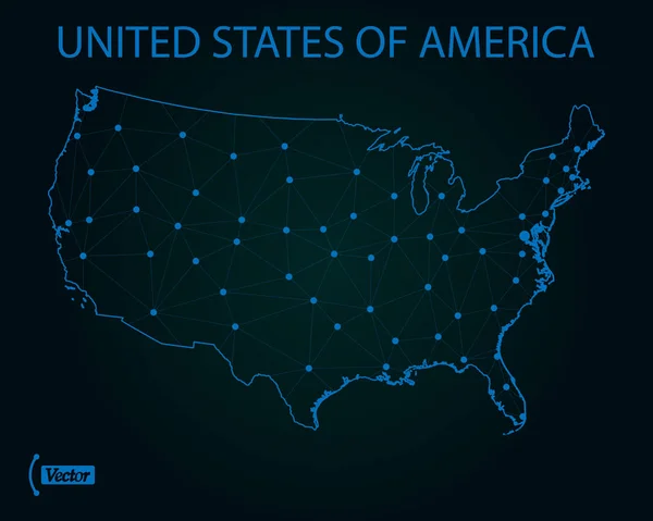
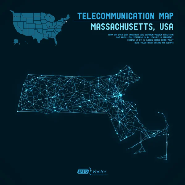
United States Of America USA Map Outline With Stars And Lines Abstract Framework.

Vector, 10.65MB, 5892 × 4167 eps
stock vector Map of south dakota state

Map Of South Dakota State

Vector, 2.4MB, 2300 × 2299 eps
stock vector vector map of United States with indication of Mississippi

Vector Map Of United States With Indication Of Mississippi

Vector, 1.73MB, 4600 × 3450 eps
stock vector America Centered Political World Map

America Centered Political World Map

Vector, 16.72MB, 8192 × 5613 eps
stock vector Map of World. Detailed thin black outline political map with country, sea and ocean names. Vector map

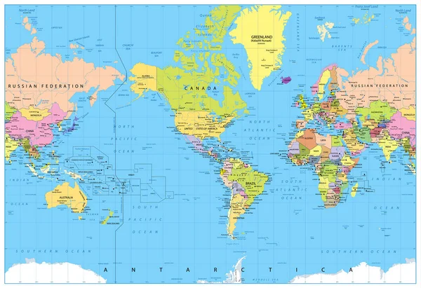
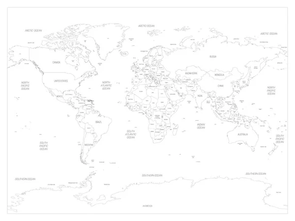
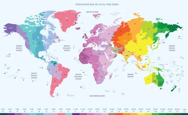
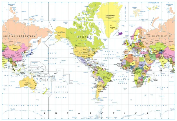
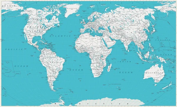
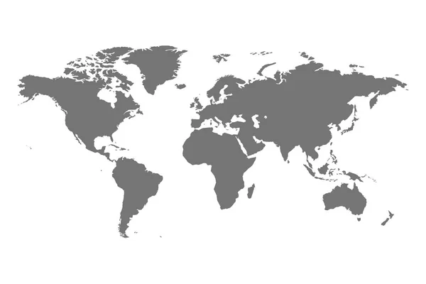
Map Of World. Detailed Thin Black Outline Political Map With Country, Sea And Ocean Names. Vector Map

Vector, 14.2MB, 6000 × 4500 eps
stock vector Map of Canada. Vector low-poly image of a global map with lights in the form of a population density of cities consisting of figures, lines and space. Easy to edit

Map Of Canada. Vector Low-poly Image Of A Global Map With Lights In The Form Of A Population Density Of Cities Consisting Of Figures, Lines And Space. Easy To Edit

Vector, 1.64MB, 4100 × 2800 eps
stock vector Abstract polygonal world map with dots and lines, network connections

Abstract Polygonal World Map With Dots And Lines, Network Connections

Vector, 1.27MB, 5376 × 3360 eps
stock vector Retro Color America Centered Political World Map

Retro Color America Centered Political World Map

Vector, 15.6MB, 8192 × 5620 eps
stock vector Doodle world map sketch. Planet Earth sketch

Doodle World Map Sketch. Planet Earth Sketch

Vector, 0.82MB, 5500 × 3300 eps
stock vector World Map

World Map

Vector, 2.1MB, 6000 × 4463 eps
stock vector Abstract polygonal world map with glowing dots and lines, network connections. Vector illustration. Eps 10

Abstract Polygonal World Map With Glowing Dots And Lines, Network Connections. Vector Illustration. Eps 10

Vector, 0.66MB, 5419 × 3459 eps
stock vector vector map of United States with indication of Iowa

Vector Map Of United States With Indication Of Iowa

Vector, 1.72MB, 4600 × 3450 eps
stock vector World Map Sketch

World Map Sketch

Vector, 4.7MB, 5000 × 2857 eps
stock vector vector map of United States with indication of New Hampshire

Vector Map Of United States With Indication Of New Hampshire

Vector, 1.73MB, 4600 × 3450 eps
stock vector Doodle world map sketch. Planet Earth sketch

Doodle World Map Sketch. Planet Earth Sketch

Vector, 2.76MB, 5500 × 3300 eps
stock vector vector map of United States with indication of Indiana

Vector Map Of United States With Indication Of Indiana

Vector, 1.73MB, 4600 × 3450 eps
stock image USA Flag Map

USA Flag Map

Image, 0.77MB, 2434 × 1724 jpg
stock vector The map of the network of the United States of America. Vector low-poly image of a global map with lights in the form of a population density of cities consisting of shapes. Easy to edit

The Map Of The Network Of The United States Of America. Vector Low-poly Image Of A Global Map With Lights In The Form Of A Population Density Of Cities Consisting Of Shapes. Easy To Edit

Vector, 1.3MB, 4100 × 2800 eps
stock vector Technology polygonal world map. Global earth map with glowing dots and lines, network connections

Technology Polygonal World Map. Global Earth Map With Glowing Dots And Lines, Network Connections

Vector, 0.61MB, 5143 × 3283 eps
stock vector World map silhouette for Your design

World Map Silhouette For Your Design

Vector, 1.69MB, 4999 × 3535 eps
stock vector Red Raleigh city area vector background map, streets and water cartography illustration. Widescreen proportion, digital flat design streetmap.

Red Raleigh City Area Vector Background Map, Streets And Water Cartography Illustration. Widescreen Proportion, Digital Flat Design Streetmap.

Vector, 6.39MB, 11113 × 6251 eps
stock vector World Map. Old colors, borders, countries and cities. Detailed World Map vector illustration.

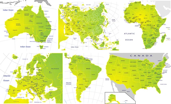
World Map. Old Colors, Borders, Countries And Cities. Detailed World Map Vector Illustration.

Vector, 29.67MB, 8192 × 4957 eps
stock vector United States network map.

United States Network Map.

Vector, 7.99MB, 8333 × 8333 eps
stock vector Americas simple outline blank map

Americas Simple Outline Blank Map

Vector, 2.98MB, 6000 × 8000 eps
stock vector hand drawn world map sketch on white background. vector illustration.

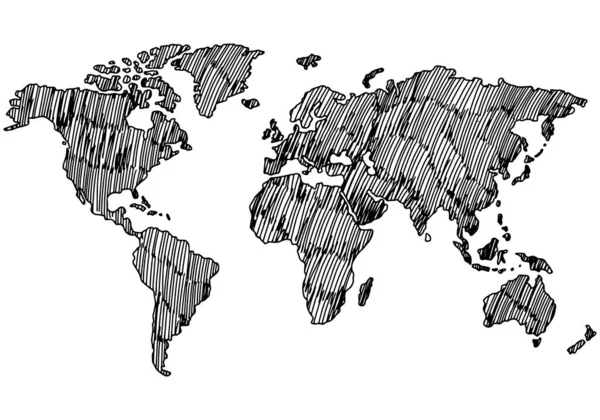
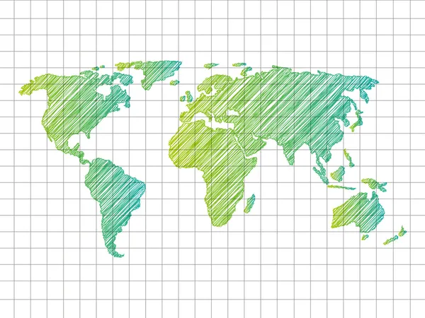
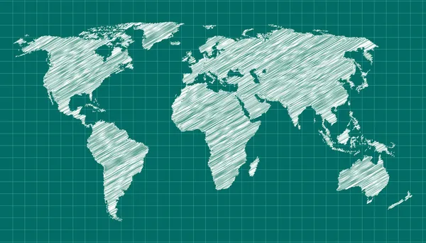
Hand Drawn World Map Sketch On White Background. Vector Illustration.

Vector, 0.47MB, 5000 × 3500 eps
stock vector Oklahoma network map.

Oklahoma Network Map.

Vector, 6.79MB, 8333 × 8333 eps
stock vector The map of the network of the United States of America. Vector low-poly image of a global map with lights in the form of a population density of cities consisting of shapes in the form of stars

The Map Of The Network Of The United States Of America. Vector Low-poly Image Of A Global Map With Lights In The Form Of A Population Density Of Cities Consisting Of Shapes In The Form Of Stars

Vector, 5.18MB, 8192 × 5600 eps
stock vector Abstract polygonal world map with dots and lines, network connections

Abstract Polygonal World Map With Dots And Lines, Network Connections

Vector, 1.26MB, 5376 × 3360 eps
stock vector Blue Raleigh city area vector background map, streets and water cartography illustration. Widescreen proportion, digital flat design streetmap.

Blue Raleigh City Area Vector Background Map, Streets And Water Cartography Illustration. Widescreen Proportion, Digital Flat Design Streetmap.

Vector, 6.39MB, 11113 × 6251 eps
stock vector blue vector map of United States with indication of Oklahoma

Blue Vector Map Of United States With Indication Of Oklahoma

Vector, 1.73MB, 4600 × 3450 eps
stock vector Montpelier Vermont USA City Map in Retro Style. Outline Map.

Montpelier Vermont USA City Map In Retro Style. Outline Map.

Vector, 0.94MB, 8150 × 4702 eps
stock vector Vector modern social network background.

Vector Modern Social Network Background.

Vector, 11.51MB, 4246 × 4246 eps
stock vector Grey Political World Map Illustration

Grey Political World Map Illustration

Vector, 0.51MB, 6000 × 4000 eps
stock vector Abstract polygonal world map with glowing dots and lines, network connections

Abstract Polygonal World Map With Glowing Dots And Lines, Network Connections

Vector, 1.25MB, 5355 × 3418 eps
stock vector Political map of continents

Political Map Of Continents

Vector, 4.3MB, 3695 × 2247 eps
Previous << Page 4 >> Next