photo free
Home Images Vectors Videos

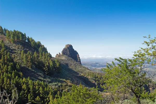
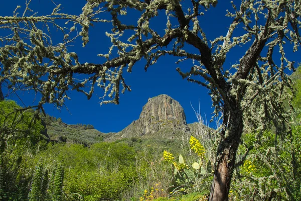
Stock image Valsequillo

stock image Gran Canaria, hiking route between Tenteniguada village in Valsequillo municipality and Pico de las Nieves, the highest point of the island, December

Gran Canaria, Hiking Route Between Tenteniguada Village In Valsequillo Municipality And Pico De Las Nieves, The Highest Point Of The Island, December

Image, 11.34MB, 5633 × 3532 jpg
stock image Gran Canaria, view from above over Valsequillo;

Gran Canaria, View From Above Over Valsequillo;

Image, 7.57MB, 4000 × 2667 jpg
stock image Inland Gran Canaria

Inland Gran Canaria

Image, 12.86MB, 5184 × 3456 jpg
stock vector Canary Islands Political Map

Canary Islands Political Map

Vector, 2.02MB, 9000 × 3883 eps
stock image Gran Canaria, March 2018

Gran Canaria, March 2018

Image, 5.96MB, 4000 × 2687 jpg
stock image blue echium vulgare flowers in the sun

Blue Echium Vulgare Flowers In The Sun

Image, 9.82MB, 5508 × 3934 jpg
stock vector Canary Islands Political Map with Lanzarote, Fuerteventura, Gran Canaria, Tenerife, La Gomera, La Palma and El Hierro. English labeling and scaling. Illustration.

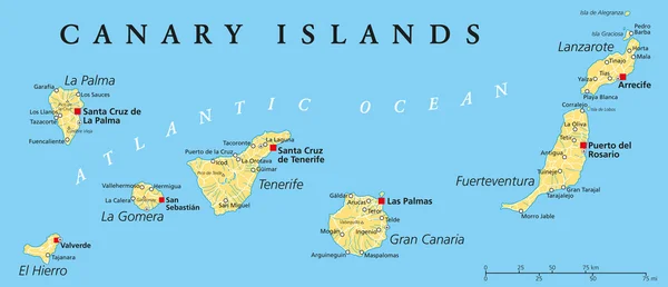
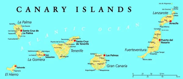
Canary Islands Political Map With Lanzarote, Fuerteventura, Gran Canaria, Tenerife, La Gomera, La Palma And El Hierro. English Labeling And Scaling. Illustration.

Vector, 0MB, 7176 × 3096 zip
stock image Inland Gran Canaria, Valsequillo municipality

Inland Gran Canaria, Valsequillo Municipality

Image, 17.16MB, 5184 × 3456 jpg
Page 1 >> Next