photo free
Home Images Vectors Videos

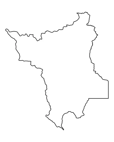
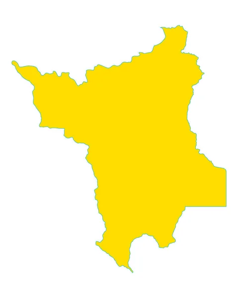
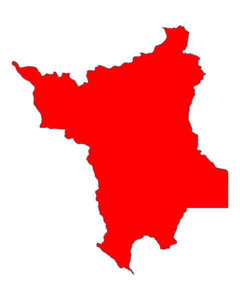
Stock image Vector Map Of Roraima

stock vector Accurate map of Roraima

Accurate Map Of Roraima

Vector, 0.69MB, 4000 × 5000 eps
stock vector roraima administrative and political map with flag

Roraima Administrative And Political Map With Flag

Vector, 0.56MB, 3100 × 3372 eps
stock vector Brazil higt detailed map with subdivisions. Administrative map of Brazil with districts and cities name, colored by states and administrative districts. Vector illustration.

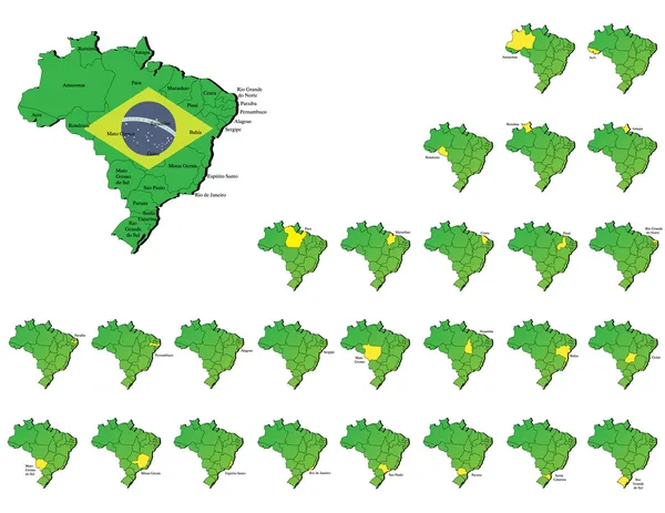
Brazil Higt Detailed Map With Subdivisions. Administrative Map Of Brazil With Districts And Cities Name, Colored By States And Administrative Districts. Vector Illustration.

Vector, 11.46MB, 4000 × 4000 eps
stock vector Pixel Mosaic Map of Roraima State

Pixel Mosaic Map Of Roraima State

Vector, 0.57MB, 5017 × 3189 eps
stock vector Brazil provinces maps

Brazil Provinces Maps

Vector, 9.92MB, 6000 × 4636 eps
stock vector Pixelated Mosaic Map of Roraima State

Pixelated Mosaic Map Of Roraima State

Vector, 0.43MB, 5056 × 3165 eps
stock vector Map of Brazil where Roraima is pulled out

Map Of Brazil Where Roraima Is Pulled Out

Vector, 1.69MB, 4586 × 5105 eps
stock vector Accurate map of Roraima

Accurate Map Of Roraima

Vector, 0.68MB, 4000 × 5000 eps
stock vector twenty seven black maps of the Subdivisions of Brazil

Twenty Seven Black Maps Of The Subdivisions Of Brazil

Vector, 2.81MB, 3100 × 5432 eps
stock vector High Quality mapstate of Brazil

High Quality Mapstate Of Brazil

Vector, 2.12MB, 4000 × 4000 eps
stock vector Accurate map of Roraima

Accurate Map Of Roraima

Vector, 0.57MB, 4000 × 5000 eps
stock vector Roraima blank outline map set

Roraima Blank Outline Map Set

Vector, 0.4MB, 4658 × 5528 eps
stock vector Illustration of a map of Brazil with the north region highlighted

Illustration Of A Map Of Brazil With The North Region Highlighted

Vector, 8.14MB, 5000 × 5000 eps
stock vector Accurate map of Roraima

Accurate Map Of Roraima

Vector, 0.68MB, 4000 × 5000 eps
stock vector Map of the north region of Brazil with the identified states

Map Of The North Region Of Brazil With The Identified States

Vector, 8.3MB, 5000 × 3500 eps
stock vector The Roraima State regions map with labels on white background, Brazil

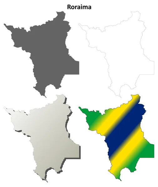
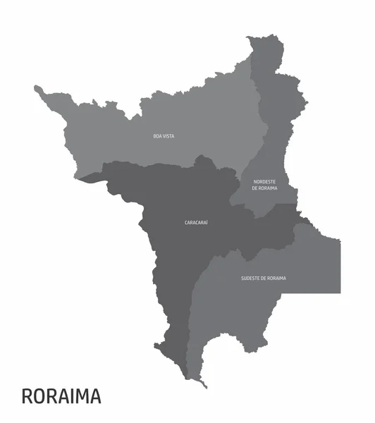
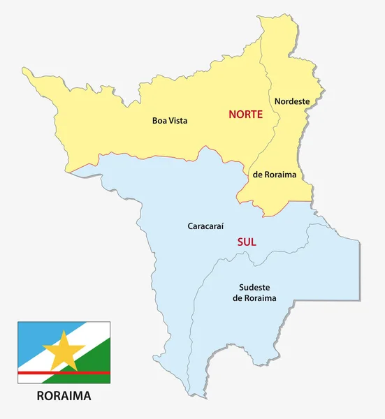
The Roraima State Regions Map With Labels On White Background, Brazil

Vector, 8.49MB, 4440 × 5000 eps
stock vector Green Brazil map flag vector silhouette illustration isolated on white background. South America country. Brazil flag.

Green Brazil Map Flag Vector Silhouette Illustration Isolated On White Background. South America Country. Brazil Flag.

Vector, 0.35MB, 5001 × 5001 eps
stock vector Green Brazil map flag vector silhouette illustration isolated on white background. South America country. Brazil flag.

Green Brazil Map Flag Vector Silhouette Illustration Isolated On White Background. South America Country. Brazil Flag.

Vector, 0.35MB, 5001 × 5001 eps
stock vector Brazil north region map

Brazil North Region Map

Vector, 8.39MB, 5000 × 3500 eps
stock vector Brazil north region

Brazil North Region

Vector, 8.39MB, 5000 × 3500 eps
stock vector Location map of Roraima is a state of Brazil with neighbour state and country

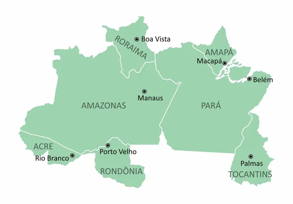
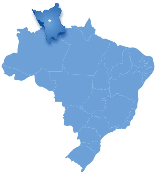
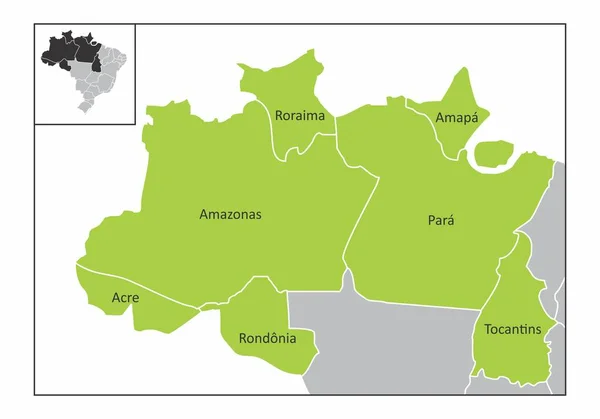
Location Map Of Roraima Is A State Of Brazil With Neighbour State And Country

Vector, 1.19MB, 4057 × 4000 eps
Page 1 >> Next