
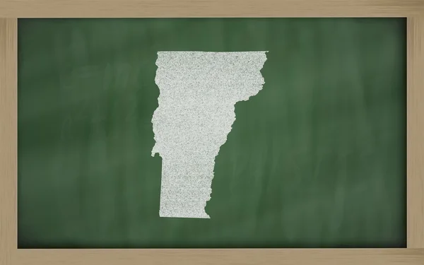
Stock image Vermont Outline page 2


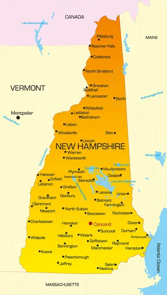
New Hampshire Vector Map Silhouette Isolated On White Background. High Detailed Silhouette Illustration. United State Of America Country.
Vector, 0.24MB, 2243 × 4325 eps


USA America Map States Border Isolated On White Background. Vector Illustration.
Vector, 0.74MB, 5834 × 4167 eps


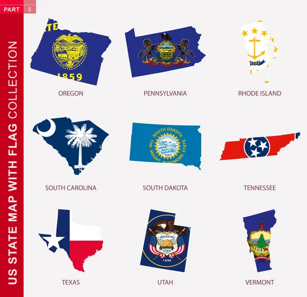
US State Maps With Flag Collection, Nine USA Map Contour With Flag Of Oregon, Pennsylvania, Rhode Island, South Carolina, South Dakota, Tennessee, Texas, Utah, Vermont
Vector, 1.7MB, 5170 × 5000 eps


State Map. USA Silhouette In Flat Style. Vector Isolated Outline Illusrtation
Vector, 0.51MB, 6251 × 4167 eps


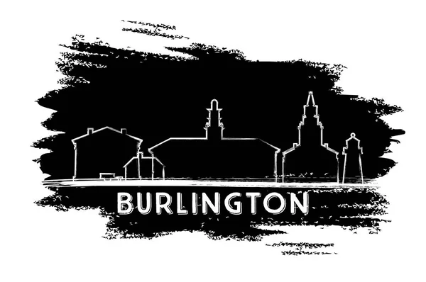
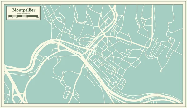
Outline Montpelier Vermont City Skyline With Modern Buildings Isolated On White. Vector Illustration. Montpelier USA Cityscape With Landmarks.
Vector, 0.73MB, 8150 × 8158 eps


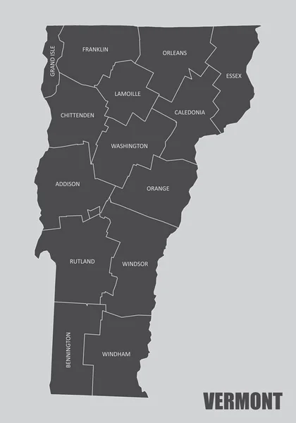
Highly Detailed Vector Silhouettes Of US State Maps, Division United States Into Counties, Political And Geographic Subdivisions Of A States, New England - Vermont, New Hampshire, Maine - Set 1 Of 17
Vector, 9.87MB, 9608 × 4501 eps

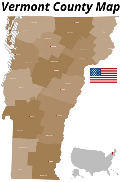
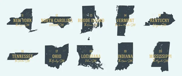
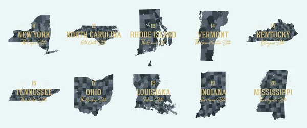
Vector Set 3 Of 10 Highly Detailed Silhouettes Of US State Maps, Divided Into Counties With Names And Territory Nicknames
Vector, 5.2MB, 9585 × 3348 eps

Black Highlighted Location Administrative Map Of The US Federal State Of Vermont Inside Gray Map Of The United States Of America
Vector, 0.64MB, 6202 × 3933 eps

Outline Montpelier Vermont City Skyline With Modern Buildings Isolated On White. Vector Illustration. Montpelier USA Cityscape With Landmarks.
Vector, 0.82MB, 8150 × 3584 eps


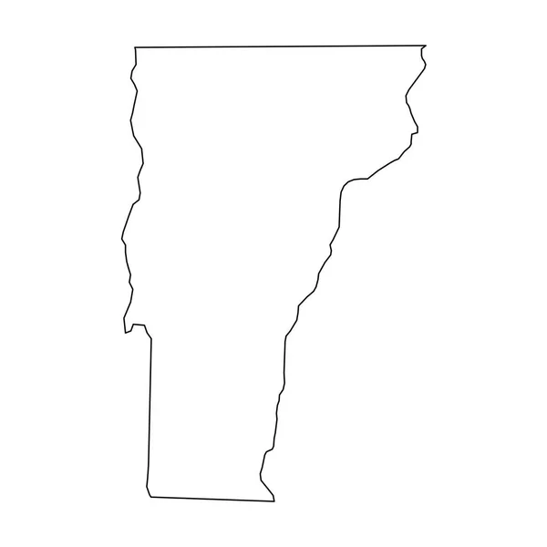
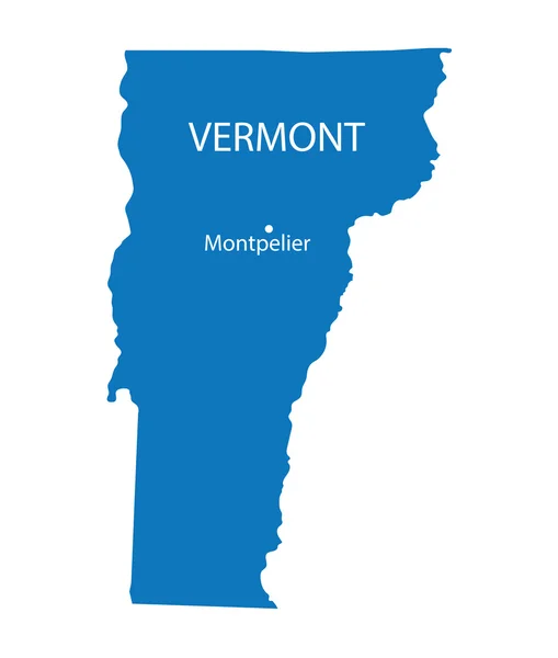
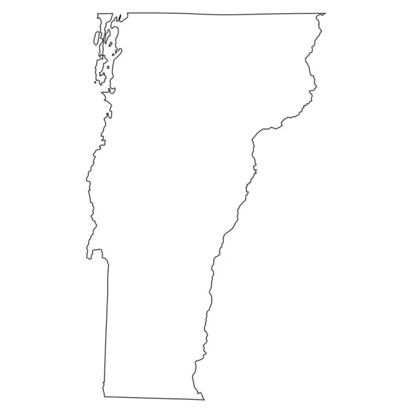
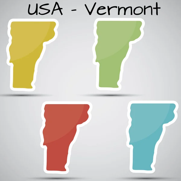
Vermont, State Of USA - Solid Black Outline Map Of Country Area. Simple Flat Vector Illustration
Vector, 0.22MB, 5000 × 5000 eps
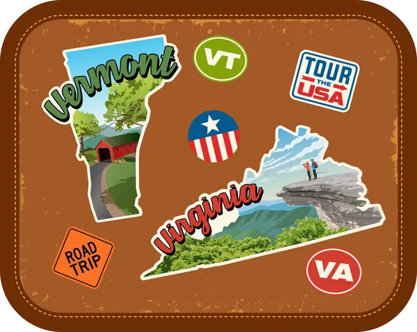
Vermont, Virginia Travel Stickers With Scenic Attractions And Retro Text On Vintage Suitcase Background
Vector, 3.84MB, 5037 × 4020 eps


A Set Of Maps Of The States Of America On A White Background - Vector Illustration. A Simple Flat Map Is The United States. American Flag
Vector, 1.95MB, 5000 × 5000 eps

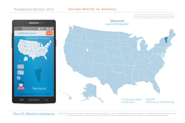
United States Of America Maps And Vermont State Territory. Vector USA Political Map. US Election Assistance App For Smart Phone. Technology Banner
Vector, 1.5MB, 6000 × 4000 eps


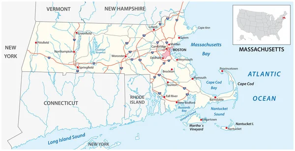
Illustrated Pictorial Map Of Northeast United States. Includes Maine, New Hampshire, Vermont, Massachusetts, Connecticut, Rhode Island And New York. Vector Illustration.
Vector, 5.3MB, 5340 × 4946 eps

Set 2 Of 5 Division United States Into Counties, Political And Geographic Subdivisions Of A States, Highly Detailed Vector Maps With Names And Territory Nicknames
Vector, 7.41MB, 9585 × 4010 eps
Previous << Page 2 >> Next