
Stock image Virginia County Maps

3d Map Of Virginia State With Color. United State Of America, US, United State
Image, 3.68MB, 8000 × 5334 jpg

Virginia Administrative Map. Counties Map Of Virginia With Color, Blank Map, Empty Map Of Virginia
Image, 2.86MB, 8000 × 4000 jpg

3d Map Of Virginia State With Color. United State Of America, US, United State
Image, 3.97MB, 8000 × 5334 jpg

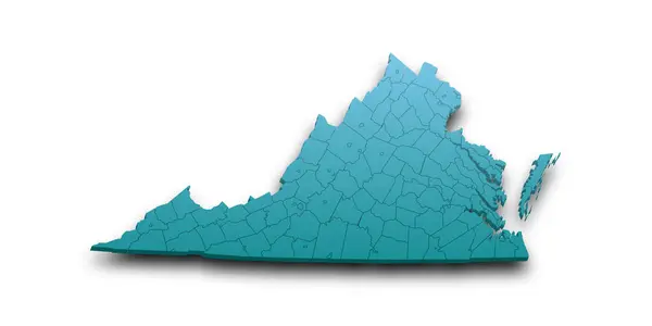
Virginia Administrative Map, Virginia Outline And Counties State Map Set - Illustration Version
Image, 2.95MB, 8000 × 2667 jpg

Virginia Administrative Map. Counties Map Of Virginia With Color, Blank Map, Empty Map Of Virginia
Image, 3.11MB, 8000 × 4000 jpg

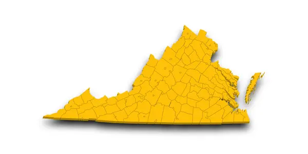
3d Map Of Virginia State With Counties And Color. United State Of America, US, United State
Image, 3.34MB, 8000 × 4000 jpg

Virginia Administrative Map. Counties Map Of Virginia With Color, Blank Map, Empty Map Of Virginia
Image, 3.22MB, 8000 × 4000 jpg

Map Of Bedford County In Virginia State On White Background. Single County Map Highlighted By Black Colour On Virginia Map. UNITED STATES, US
Image, 4.44MB, 8000 × 5334 jpg

Portsmouth Independent City Location Highlighted By Black Color On Virginia State Map, United States, Usa, Us
Image, 4.46MB, 8000 × 5334 jpg

Map Of Dickenson County In Virginia State On White Background. Single County Map Highlighted By Black Colour On Virginia Map. UNITED STATES, US
Image, 4.45MB, 8000 × 5334 jpg

3d Map Of Virginia State With Counties And Color. United State Of America, US, United State
Image, 3.5MB, 8000 × 4000 jpg

Map Of Augusta County In Virginia State On White Background. Single County Map Highlighted By Black Colour On Virginia Map. UNITED STATES, US
Image, 4.44MB, 8000 × 5334 jpg

Map Of Sussex County In Virginia State On White Background. Single County Map Highlighted By Black Colour On Virginia Map. UNITED STATES, US
Image, 4.45MB, 8000 × 5334 jpg

Map Of Loudoun County In Virginia State On White Background. Single County Map Highlighted By Black Colour On Virginia Map. UNITED STATES, US
Image, 4.45MB, 8000 × 5334 jpg

3d Map Of Virginia State With Counties And Color. United State Of America, US, United State
Image, 3.75MB, 8000 × 4000 jpg

Virginia Administrative Map. Counties Map Of Virginia With Color, Blank Map, Empty Map Of Virginia
Image, 2.55MB, 8000 × 4000 jpg

Map Of Lancaster County In Virginia State On White Background. Single County Map Highlighted By Black Colour On Virginia Map. UNITED STATES, US
Image, 4.45MB, 8000 × 5334 jpg

3d Map Of Virginia State With Counties And Color. United State Of America, US, United State
Image, 3.38MB, 8000 × 4000 jpg

Map Of Buckingham County In Virginia State On White Background. Single County Map Highlighted By Black Colour On Virginia Map. UNITED STATES, US
Image, 4.45MB, 8000 × 5334 jpg

3d Map Of Virginia State With Counties And Color. United State Of America, US, United State
Image, 3.65MB, 8000 × 4000 jpg

Virginia Administrative Map. Counties Map Of Virginia With Color, Blank Map, Empty Map Of Virginia
Image, 2.61MB, 8000 × 4000 jpg

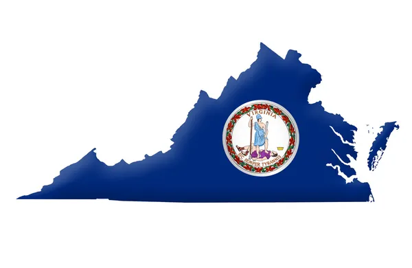
3d Map Of Virginia State With Color. United State Of America, US, United State
Image, 3.78MB, 8000 × 5334 jpg

Map Of Mathews County In Virginia State On White Background. Single County Map Highlighted By Black Colour On Virginia Map. UNITED STATES, US
Image, 4.45MB, 8000 × 5334 jpg

Virginia Administrative Map. Counties Map Of Virginia With Color, Blank Map, Empty Map Of Virginia
Image, 2.84MB, 8000 × 4000 jpg

Bedford Independent City Location Highlighted By Black Color On Virginia State Map, United States, Usa, Us
Image, 4.46MB, 8000 × 5334 jpg

Virginia Administrative Map. Counties Map Of Virginia With Color, Blank Map, Empty Map Of Virginia
Image, 3.3MB, 8000 × 4000 jpg

3d Map Of Virginia State With Color. United State Of America, US, United State
Image, 4.16MB, 8000 × 5334 jpg

Virginia Administrative Map. Counties Map Of Virginia With Color, Blank Map, Empty Map Of Virginia
Image, 2.87MB, 8000 × 4000 jpg

Map Of Warren County In Virginia State On White Background. Single County Map Highlighted By Black Colour On Virginia Map. UNITED STATES, US
Image, 4.45MB, 8000 × 5334 jpg
3d Map Of Virginia State With Counties And Color. United State Of America, US, United State
Image, 3.81MB, 8000 × 4000 jpg

Map Of James City County In Virginia State On White Background. Single County Map Highlighted By Black Colour On Virginia Map. UNITED STATES, US
Image, 4.45MB, 8000 × 5334 jpg

3d Map Of Virginia State With Counties And Color. United State Of America, US, United State
Image, 3.86MB, 8000 × 4000 jpg

3d Map Of Virginia State With Counties And Color. United State Of America, US, United State
Image, 3.74MB, 8000 × 4000 jpg
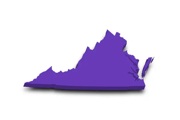
3d Map Of Virginia State With Color. United State Of America, US, United State
Image, 3.6MB, 8000 × 5334 jpg

Virginia Administrative Map. Counties Map Of Virginia With Color, Blank Map, Empty Map Of Virginia
Image, 4.03MB, 8000 × 4000 jpg

Map Of Orange County In Virginia State On White Background. Single County Map Highlighted By Black Colour On Virginia Map. UNITED STATES, US
Image, 4.45MB, 8000 × 5334 jpg

3d Map Of Virginia State With Counties And Color. United State Of America, US, United State
Image, 3.74MB, 8000 × 4000 jpg

Map Of Northampton County In Virginia State On White Background. Single County Map Highlighted By Black Colour On Virginia Map. UNITED STATES, US
Image, 4.48MB, 8000 × 5334 jpg

Martinsville Independent City Location Highlighted By Black Color On Virginia State Map, United States, Usa, Us
Image, 4.46MB, 8000 × 5334 jpg

Virginia Administrative Map. Counties Map Of Virginia With Color, Blank Map, Empty Map Of Virginia
Image, 3.65MB, 8000 × 4000 jpg

Map Of Botetourt County In Virginia State On White Background. Single County Map Highlighted By Black Colour On Virginia Map. UNITED STATES, US
Image, 4.45MB, 8000 × 5334 jpg

Map Of Madison County In Virginia State On White Background. Single County Map Highlighted By Black Colour On Virginia Map. UNITED STATES, US
Image, 4.45MB, 8000 × 5334 jpg

Map Of Charlotte County In Virginia State On White Background. Single County Map Highlighted By Black Colour On Virginia Map. UNITED STATES, US
Image, 4.45MB, 8000 × 5334 jpg

Fredericksburg Independent City Location Highlighted By Black Color On Virginia State Map, United States, Usa, Us
Image, 4.46MB, 8000 × 5334 jpg

Map Of Fluvanna County In Virginia State On White Background. Single County Map Highlighted By Black Colour On Virginia Map. UNITED STATES, US
Image, 4.45MB, 8000 × 5334 jpg

Map Of Surry County In Virginia State On White Background. Single County Map Highlighted By Black Colour On Virginia Map. UNITED STATES, US
Image, 4.45MB, 8000 × 5334 jpg
3d Map Of Virginia State With Counties And Color. United State Of America, US, United State
Image, 3.9MB, 8000 × 4000 jpg

Waynesboro Independent City Location Highlighted By Black Color On Virginia State Map, United States, Usa, Us
Image, 4.46MB, 8000 × 5334 jpg
Page 1 >> Next