Home
Images
Vectors
Videos
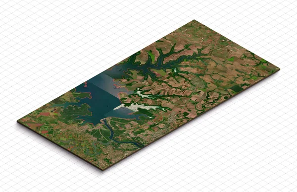
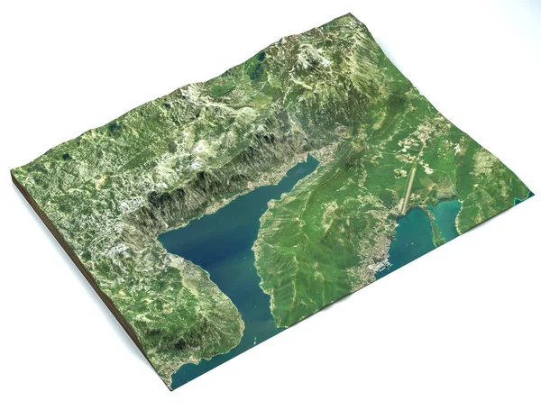
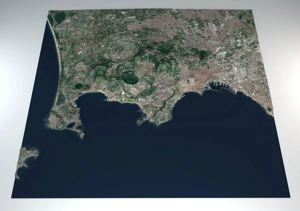
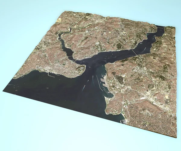
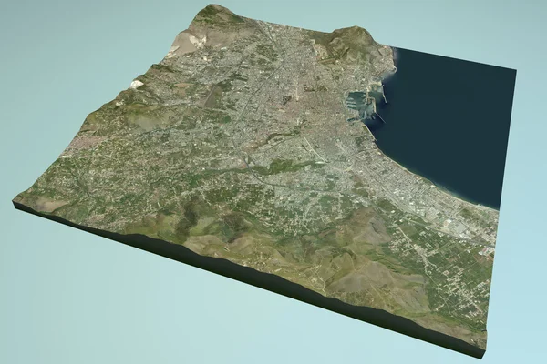
Stock image 3d model of Chubu, Japan. Isometric map virtual terrain 3d for infographic. Geography and topography planet earth flattened satellite view
Published:
Apr.04, 2023 12:50:43
Author:
yuiyuize@gmail.com
Views:
0
Downloads:
0
File type:
image
/
jpg
File size:
5.77 MB
Orginal size:
4554
x
2868
px
Available sizes:
S
(500 x 315)
M
(1000 x 630)
L
(2000 x 1260)
XL
(4554 x 2868)
EL0
(4554 x 2868)
Level:
beginner
Download Image
Image topics:
Green
Background
Render
View
Graphic
Illustration
Design
Isolated
Stone
Grass
Model
Field
Nature
Outdoor
Texture
Natural
Piece
Slice
Mountain
Cut
Square
3d
Landscape
Symbol
Ecology
Mountains
Earth
Dirt
Section
Soil
Hill
Country
Map
Geography
Land
Ground
Hills
Lake
State
Topography
Terrain
Countries
Aerial
Satellite
Cities
Isometric
Rivers
Shaded
Topographic
Infographic
Similar stock images
3d Model Of Chubu, Japan. Isometric Map Virtual Terrain 3d For Infographic. Geography And Topography Planet Earth Flattened Satellite View
3804 × 2441
3d Model Of Singapore. Isometric Map Virtual Terrain 3d For Infographic. Geography And Topography Planet Earth Flattened Satellite View
3775 × 2424
3d Model Of Presta De Itaipu Dam In Paraguay. Isometric Map Virtual Terrain 3d For Infographic. Geography And Topography Planet Earth Flattened Satellite View
3561 × 2302
Satellite View Of The Largest Fjord In The Mediterranean. The Bay Of Kotor, Boka. It Is Surrounded By Dinaric Alps: The Orjen And The Lovcen Mountains. 3d Render. Section Of The Fjord. Map
5333 × 4133
Section 3d Fields Flegrei, Naples, Campania, Italy, Split Of The Ground. 3d Rendering
4724 × 3333
Istanbul, Satellite View, Map.
4724 × 3937
3d Model Of Three Gorges Dam In China. Isometric Map Virtual Terrain 3d For Infographic. Geography And Topography Planet Earth Flattened Satellite View
3743 × 2407
Palermo Satellite View
4724 × 3149