Home
Images
Vectors
Videos
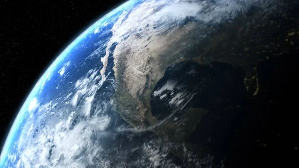
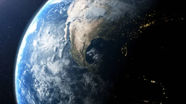
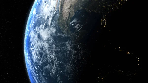
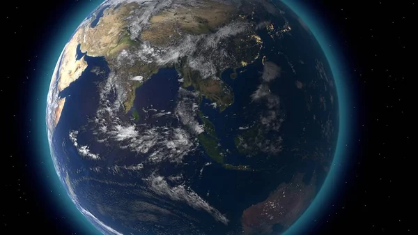
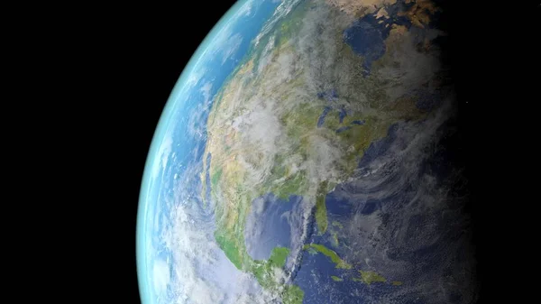
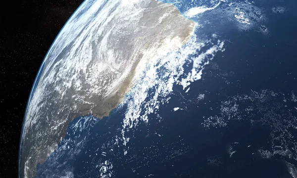
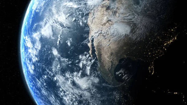
Stock image 3d rendering. Global Positioning System GPS of navigation satellites or satnav transmit data coverage around planet Earth
Published:
Aug.16, 2023 08:18:12
Author:
Color4260
Views:
0
Downloads:
0
File type:
image
/
jpg
File size:
5.51 MB
Orginal size:
6000
x
3375
px
Available sizes:
S
(500 x 281)
M
(1000 x 563)
L
(2000 x 1125)
XL
(6000 x 3375)
EL0
(6000 x 3375)
Level:
beginner
Download Image
Image topics:
Blue
Background
Space
Transportation
Communication
Global
Wallpaper
Earth
Planet
World
Science
Globe
Stars
Navigation
System
Precision
Universe
Continental
Cosmos
Satellite
Gps
Positioning
Satnav
Glonass
3d Rendering
3d Illustration
Gps Receiver
Geolocation
Gnss
Gps Navigation
Gps Signals
Global Coverage
Aircraft Navigation
Satellite Navigation
Global Positioning System
Gps Satellites
Aggregate Accuracy
Transmit Data
Global Navigation Satellite
Autonomous Geo Spatial Positioning
Global Navigation Satellite System
Civilian Satellite Navigation System
Wide Area Augmentation System
Civil Navigation
Satellite Navigation System
Similar stock images
3d Rendering, Futuristic Digitally Generated Holographic Planet Earth For Head Up Display And User Interface Design
6000 × 3375
3d Rendering, Futuristic Digitally Generated Holographic Planet Earth For Head Up Display And User Interface Design
6000 × 3375
3d Rendering. Global Positioning System GPS Of Navigation Satellites Or Satnav Transmit Data Coverage Around Planet Earth
6000 × 3375
Flying Over The Earth's Surface, 3D Rendering.
3840 × 2160
Planet Earth With Realistic Geography Surface And Orbital 3D Cloud Atmosphere . Outer Space View Of World Globe Sphere Of Continents . 3D Rendering Graphic . Elements Of This Image Furnished By NASA .
3840 × 2160
North America Seen From Space. Elements Of This Image Furnished By NASA
4500 × 2531
3d Render, Near, Low Earth Orbit Blue Planet. 4k In Outer Space, Surface. High Quality.
3840 × 2160
Planet Earth
5000 × 3000