photo free
Home Images Vectors Videos

Stock image Adak Island in the Bering Sea on a colored elevation map

Stock image Adak Island in the Bering Sea on a colored elevation map
Published: Sep.11, 2024 14:56:01
Author: zelwanka
Views: 0
Downloads: 0
File type: image / jpg
File size: 1.7 MB
Orginal size: 2880 x 1620 px
Available sizes:
S
(500 x 281)
M
(1000 x 563)
L
(2000 x 1125)
XL
(2880 x 1620)
EL0
(2880 x 1620)
Level: beginner
Download Image
Image topics:

Similar stock images

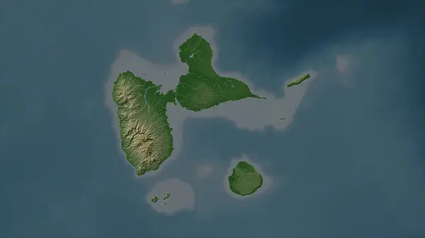
stock image Guadeloupe highlighted on a Pale colored elevation map with lakes and rivers

Guadeloupe Highlighted On A Pale Colored Elevation Map With Lakes And Rivers

2688 × 1512
stock image Guadeloupe outlined on a Colored elevation map with lakes and rivers

Guadeloupe Outlined On A Colored Elevation Map With Lakes And Rivers

2688 × 1512
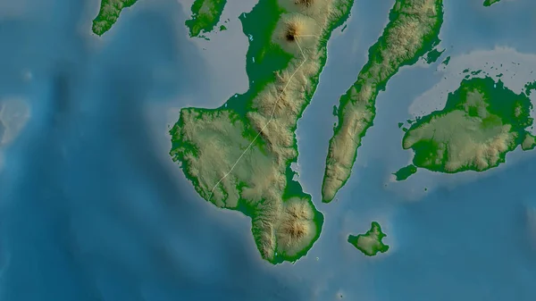
stock image Negros Oriental, province of Philippines. Colored shader data with lakes and rivers. Shape outlined against its country area. 3D rendering

Negros Oriental, Province Of Philippines. Colored Shader Data With Lakes And Rivers. Shape Outlined Against Its Country Area. 3D Rendering

2880 × 1620
stock image Falkland Islands area on the satellite D map in the stereographic projection - raw composition of raster layers with light glowing outline

Falkland Islands Area On The Satellite D Map In The Stereographic Projection - Raw Composition Of Raster Layers With Light Glowing Outline

2880 × 1620
stock image Falkland Islands area on the topographic relief map in the stereographic projection - raw composition of raster layers with light glowing outline

Falkland Islands Area On The Topographic Relief Map In The Stereographic Projection - Raw Composition Of Raster Layers With Light Glowing Outline

2880 × 1620
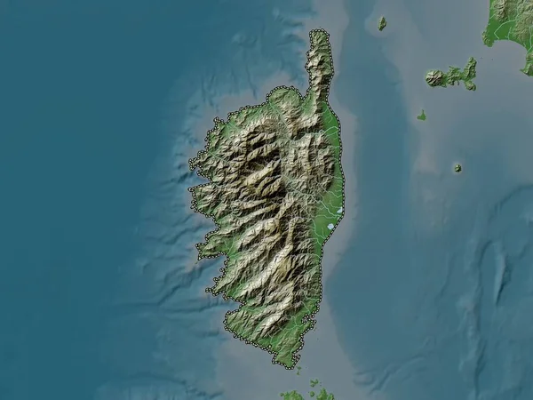
stock image Corse, region of France. Elevation map colored in wiki style with lakes and rivers

Corse, Region Of France. Elevation Map Colored In Wiki Style With Lakes And Rivers

3840 × 2880
stock image Mauritius highlighted on a Pale colored elevation map with lakes and rivers

Mauritius Highlighted On A Pale Colored Elevation Map With Lakes And Rivers

2688 × 1512
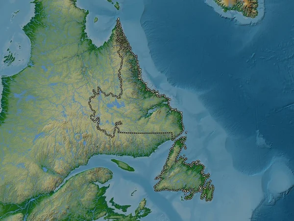
stock image Newfoundland and Labrador, province of Canada. Colored elevation map with lakes and rivers

Newfoundland And Labrador, Province Of Canada. Colored Elevation Map With Lakes And Rivers

3840 × 2880