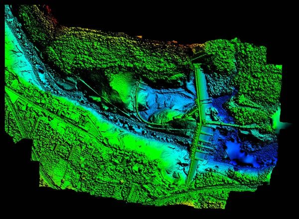
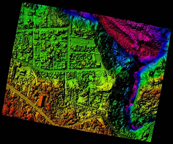
Stock image Aerial Orthorectified, Orthorectification Digital Elevation Model Of Banos De Agua Santa San Martin Canyon Altitude Represented From Blue To Red
Published: Apr.23, 2018 10:44:35
Author: ammmit
Views: 97
Downloads: 13
File type: image / jpg
File size: 10.24 MB
Orginal size: 4000 x 3319 px
Available sizes:
Level: bronze
Similar stock images

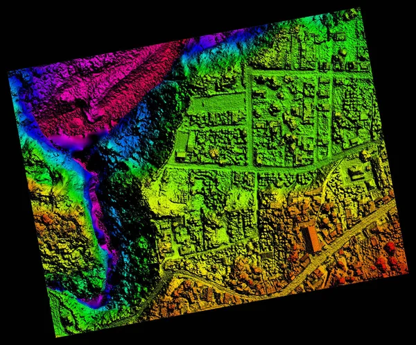
High Resolution Orthorectified, Orthorectification Aerial Map Used For Photogrammetry In Pelileo Ecuador
6000 × 4985