Home
Images
Vectors
Videos
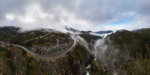
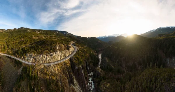
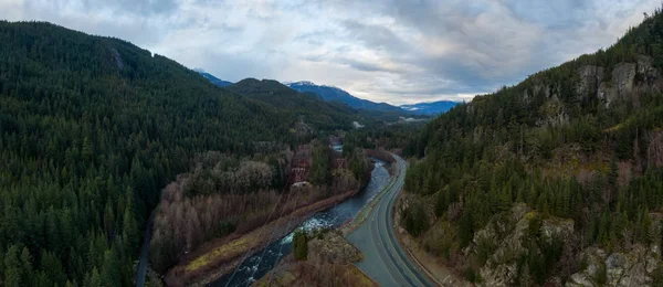
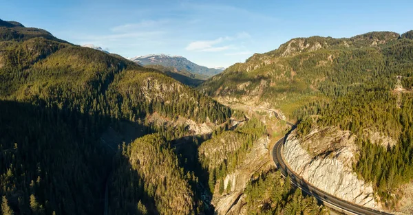
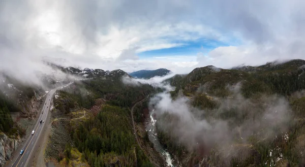
Stock image Aerial Panoramic drone view of Sea to Sky Highway during a cloudy winter morning. Taken between Squamish and Whistler, North of Vancouver, British Columbia, Canada. Panorama
Published:
Mar.13, 2020 10:23:29
Author:
edb3_16
Views:
0
Downloads:
0
File type:
image
/
jpg
File size:
26.09 MB
Orginal size:
11983
x
6587
px
Available sizes:
S
(500 x 275)
M
(1000 x 550)
L
(2000 x 1099)
XL
(11983 x 6587)
EL0
(11983 x 6587)
Level:
bronze
Download Image
Image topics:
Background
Vibrant
View
Sky
Beautiful
Bright
Travel
Summer
Outdoors
Nature
Environment
Morning
Natural
Road
Traffic
Landscape
Winter
Cars
Mountains
Scenery
Clouds
Scenic
Tourism
Route
Highway
Journey
Adventure
Sight
America
Sightseeing
Canada
Destination
Valley
Canadian
Canyon
Vancouver
Whistler
Squamish
Drone
Bc
North America
View From Above
British Columbia
Scenic Route
Canadian Landscape
Drone View
Sea To Sky
Drone Landscape
Sea To Sky Hwy
Similar stock images
Aerial Panoramic Drone View Of Sea To Sky Highway During A Cloudy Winter Morning. Taken Between Squamish And Whistler, North Of Vancouver, British Columbia, Canada. Panorama
12952 × 6556
Aerial Panoramic Drone View Of Sea To Sky Highway During A Cloudy Winter Morning. Taken Between Squamish And Whistler, North Of Vancouver, British Columbia, Canada. Panorama
9147 × 2940
Aerial Drone View Of Sea To Sky Highway During A Bright Winter Sunset
7572 × 4000
Aerial Panoramic View Of The Famous Scenic Drive, Sea To Sky Highway
6642 × 2879
Aerial Panoramic View Of The Famous Scenic Drive, Sea To Sky Highway
5397 × 2820
Aerial View Of Yukon, Canada
9386 × 2926
Aerial View Of Scenic Road In Canadian Nature
8274 × 4000
Aerial Panoramic View Of Beautiful Canadian Mountain Landscape Above The Clouds During A Sunny Day. Located On The West Coast Of Vancouver Island Near Tofino And Ucluelet, British Columbia, Canada.
8262 × 2935