Home
Images
Vectors
Videos
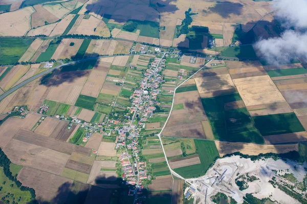
Stock image aerial photo from a plane, top view, field roads and city,wide aerial view of agricultural area.
Published:
Nov.24, 2022 12:51:49
Author:
Venusvi
Views:
2
Downloads:
0
File type:
image
/
jpg
File size:
18.07 MB
Orginal size:
6486
x
3648
px
Available sizes:
S
(500 x 281)
M
(1000 x 562)
L
(2000 x 1125)
XL
(6486 x 3648)
EL0
(6486 x 3648)
Level:
beginner
Download Image
Image topics:
Green
Background
View
Photography
Luxury
Sky
Summer
Field
Nature
Outdoor
Rural
Photo
Landscape
City
Farm
Agriculture
Home
Forest
Mountains
Agricultural
Suburban
Top
Country
Farmland
Residential
Above
Plane
Aerial
Amazon
Neighborhood
Vancouver
Drone
Top View
Aerial View
Aerial Photo
Parking Lot
City Map
Aerial Photography
Air Photo
Aerial City
City Aerial View
Aerial Landscape
Field Roads
Aerial Map
Satellite Map
Satellite Image
Earth Aerial
Aerial Photo Fields
Houses Map
Map Perspective
Similar stock images
Aerial View Of Mountains, Rivers, Clouds, Agricultural Landscape Areas The Green And Yellow Rice Field, Aerial View Of Grew In Different Pattern, And Housing.Remote Viewing.
5472 × 3648
Aerial View Of Mountains, Rivers, Clouds, Agricultural Landscape Areas The Green And Yellow Rice Field, Aerial View Of Grew In Different Pattern, And Housing.Remote Viewing.
5472 × 3648
Aerial View Of Village Landscape Over Clouds
5616 × 3744
Aerial View Of The Village In Germany From A Plane Window . Agricultural Fields View From Above
5555 × 3704
Aerial View Over The Amsterdam Suburbs
4300 × 2867
Top View Of The Fields, Forests And Rivers. Background
4608 × 3456
Abstract Blur Aerial View .
7952 × 5304
Rural Landscape Near Vienna With Wing Generators
3565 × 1426