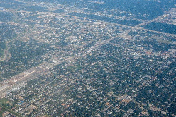
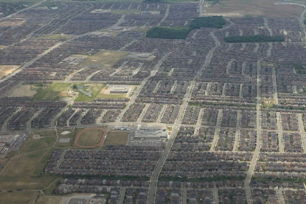
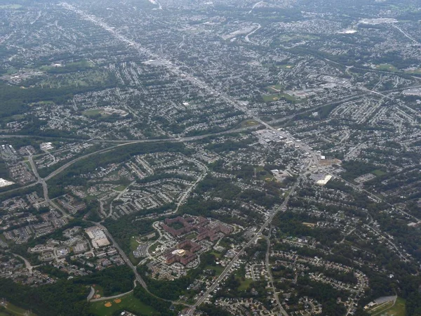
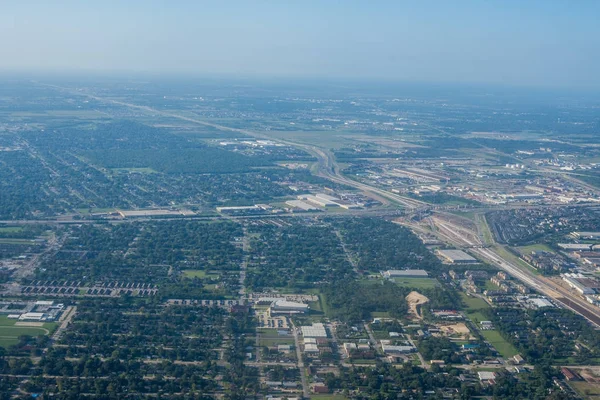
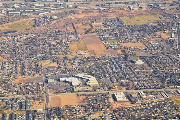
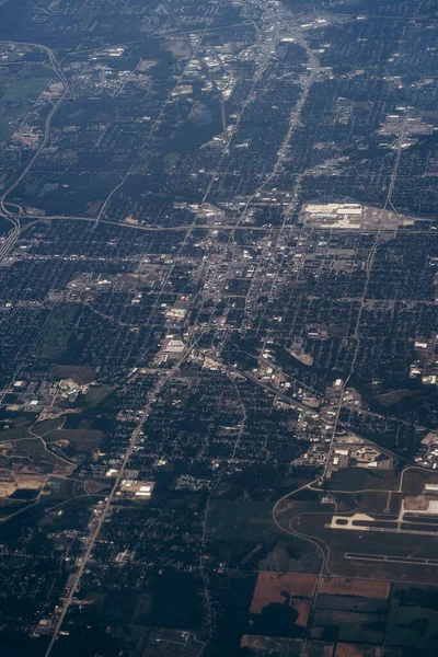
Stock image aerial view of city from the top of the plane
Published: Sep.07, 2020 11:58:45
Author: tetianaphotography
Views: 1
Downloads: 0
File type: image / jpg
File size: 2.66 MB
Orginal size: 4000 x 6000 px
Available sizes:
Level: beginner