photo free
Home Images Vectors Videos

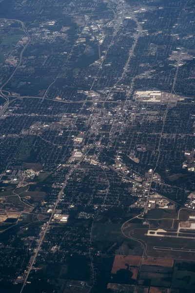
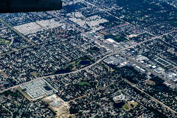
Stock image aerial view of city from the top of the plane

Stock image aerial view of city from the top of the plane
Published: Sep.07, 2020 11:58:45
Author: tetianaphotography
Views: 1
Downloads: 0
File type: image / jpg
File size: 2.47 MB
Orginal size: 3886 x 5650 px
Available sizes:
S
(344 x 500)
M
(688 x 1000)
L
(1376 x 2000)
XL
(3886 x 5650)
EL0
(3886 x 5650)
Level: beginner
Download Image
Image topics:

Similar stock images

stock image aerial view of city from the top of the plane

Aerial View Of City From The Top Of The Plane

4000 × 6000
stock image Metropolis Area of Houston, Texas Suburbs from Above in an Airplane

Metropolis Area Of Houston, Texas Suburbs From Above In An Airplane

6000 × 4000
stock image Metropolis Area of Houston, Texas Suburbs from Above in an Airplane

Metropolis Area Of Houston, Texas Suburbs From Above In An Airplane

6000 × 4000
stock image Metropolis Area of Houston, Texas Suburbs from Above in an Airplane

Metropolis Area Of Houston, Texas Suburbs From Above In An Airplane

6000 × 4000
stock image scenic view of traffic road infrastructure

Scenic View Of Traffic Road Infrastructure

5616 × 3744
stock image Aerial view of Baltimore approaching the Baltimore Washington International Thurgood Marshall Airport, Maryland.

Aerial View Of Baltimore Approaching The Baltimore Washington International Thurgood Marshall Airport, Maryland.

5184 × 3888
stock image Tampa from the air while landing, Tampa, Florida, United States

Tampa From The Air While Landing, Tampa, Florida, United States

6000 × 4000
stock image Calgary,Canada-September 2, 2109: Aerial view of suburb of Calgary, Canada

Calgary,Canada-September 2, 2109: Aerial View Of Suburb Of Calgary, Canada

5743 × 3928