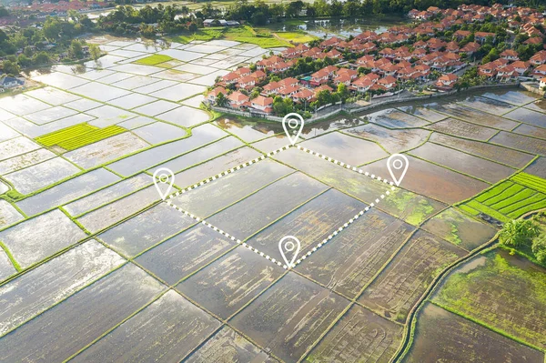
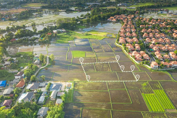
Stock image Aerial view of land and positioning point area.

Published: Aug.05, 2020 07:36:28
Author: roncivil
Views: 0
Downloads: 0
File type: image / jpg
File size: 16.3 MB
Orginal size: 5340 x 3557 px
Available sizes:
Level: silver