photo free
Home Images Vectors Videos

Stock image Aerial view of Tadoussac bay and Saguenay Fjord taken by drone over the St-Lawrence river. View of the Baie-Ste-Catherine, Tadoussac ferry and Pointe-de-L'Islet trail.

Stock image Aerial view of Tadoussac bay and Saguenay Fjord taken by drone over the St-Lawrence river. View of the Baie-Ste-Catherine, Tadoussac ferry and Pointe-de-L'Islet trail.
Published: Jul.08, 2024 13:41:58
Author: MichelGuenette
Views: 2
Downloads: 0
File type: image / jpg
File size: 5.08 MB
Orginal size: 3846 x 2163 px
Available sizes:
S
(500 x 281)
M
(1000 x 562)
L
(2000 x 1125)
XL
(3846 x 2163)
EL0
(3846 x 2163)
Level: beginner
Download Image
Image topics:

Similar stock images

stock image Lindesnes, Norway - July 19 2019: Aerial view of fjord of Ramslandsvagen.

Lindesnes, Norway - July 19 2019: Aerial View Of Fjord Of Ramslandsvagen.

4048 × 3032
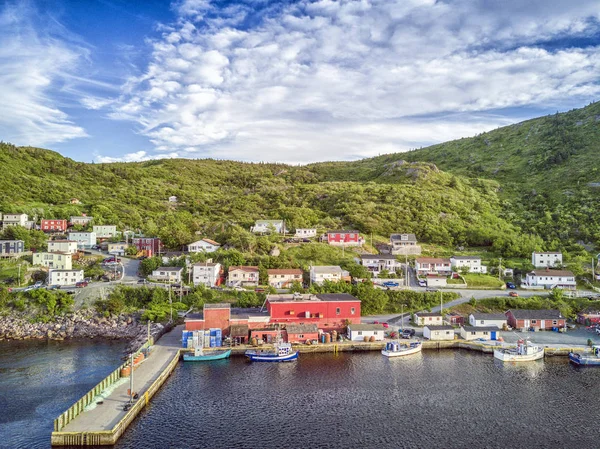
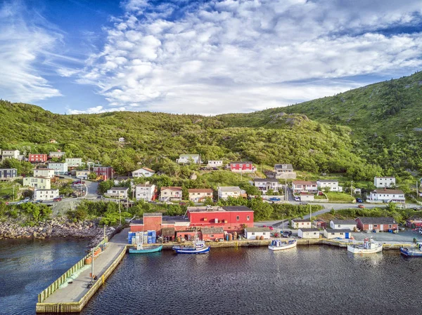
stock image Petty Harbour with two piers during summer sunset, Newfoundland,

Petty Harbour With Two Piers During Summer Sunset, Newfoundland,

3992 × 2992
stock image Petty Harbour with two piers during summer sunset, Newfoundland,

Petty Harbour With Two Piers During Summer Sunset, Newfoundland,

3992 × 2992
stock image Petty Harbour with two piers during summer sunset, Newfoundland,

Petty Harbour With Two Piers During Summer Sunset, Newfoundland,

3992 × 2992
stock image Tadoussac by Saint Lawrence River

Tadoussac By Saint Lawrence River

4271 × 2848
stock image Petty Harbour with two piers during summer sunset, Newfoundland,

Petty Harbour With Two Piers During Summer Sunset, Newfoundland,

3992 × 2992
stock image Petty Harbour with two piers during summer sunset, Newfoundland,

Petty Harbour With Two Piers During Summer Sunset, Newfoundland,

3992 × 2992
stock image View of city

View Of City

6016 × 4016