
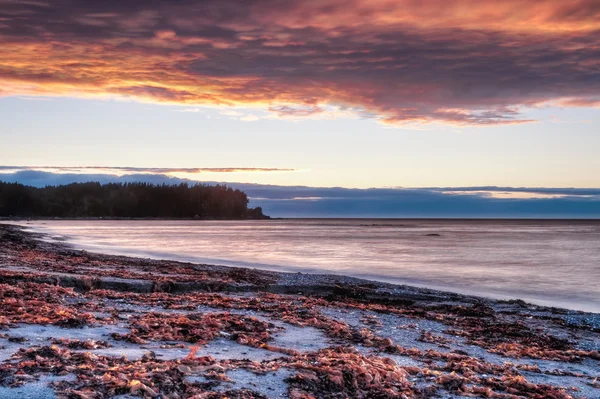
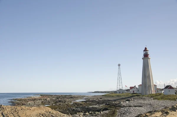
Stock image Gulf Of St Lawrence


The Colourful Houses And Fishing Boats Of Havre Aubert, Magdalen Islands, On The Gulf Of St Lawrence In Canada.
Image, 14.38MB, 6000 × 4000 jpg


Abandoned Fishing Shack And Boat In Green Point, Gros Morne National Park, Newfoundland
Image, 7.89MB, 4500 × 2989 jpg

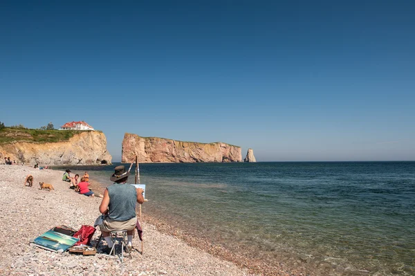
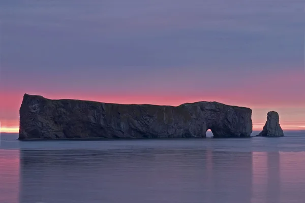
Two Adirondack Chairs And Perce Rock In Background. Gaspe Peninsula, Quebec, Canada. The Chairs Were Placed There To Observe This Beautiful View.
Image, 18.41MB, 6817 × 4545 jpg
View Of Rocky Harbour From Lobster Cove, Gros Morne National Park, Newfoundland
Image, 8.91MB, 5000 × 3333 jpg


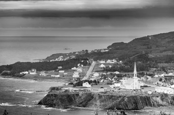
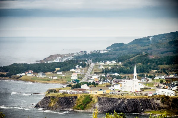
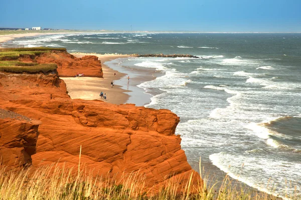
View Of The Perce Village, At The Tip Of Gaspe Peninsula, Quebec, Canada
Image, 15.28MB, 6000 × 4000 jpg
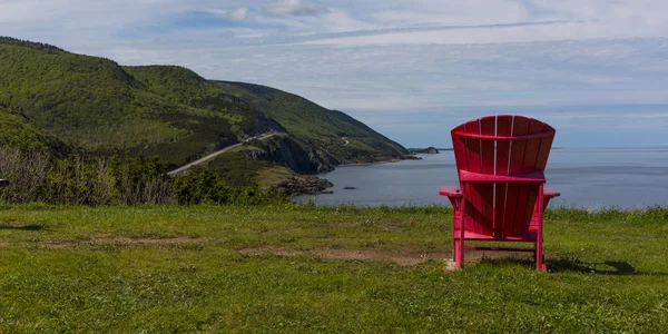
Scenic View Of An Adirondack Chair At Coast, Petit Etang, Cape Breton Highlands National Park, Cape Breton Island, Nova Scotia, Canada
Image, 15.91MB, 6900 × 3450 jpg
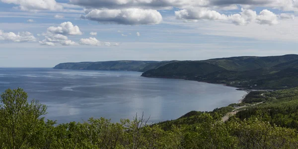
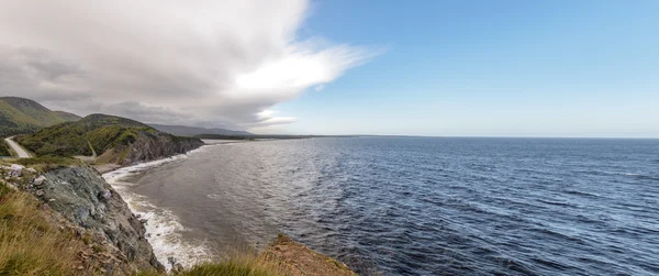
Scenic View Of Coastline, Pleasant Bay, Cape Breton Highlands National Park, Cape Breton Island, Nova Scotia, Canada
Image, 12.3MB, 6900 × 3450 jpg

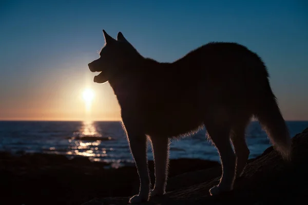
Husky Dog Silhouette Standing At Sunset On Coast Of Gulf Of St Lawrence In Gaspe Peninsula,Quebec,Canada
Image, 1.3MB, 4185 × 2785 jpg


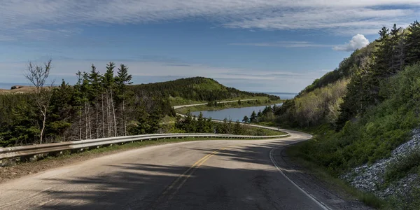
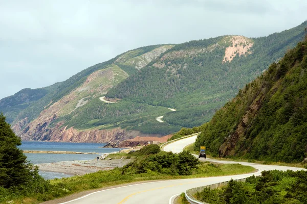
Scenic View Of A Coastal Road, Pleasant Bay, Cape Breton Highlands National Park, Cape Breton Island, Nova Scotia, Canada
Image, 11.09MB, 6900 × 3451 jpg


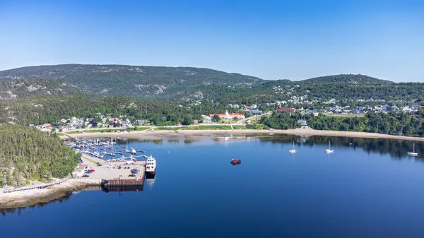
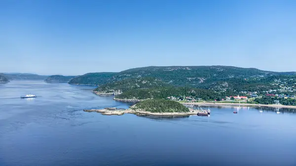
Aerial View Of Tadoussac Bay And Saguenay Fjord Taken By Drone Over The St-Lawrence River. View Of The Baie-Ste-Catherine, Tadoussac Ferry And Pointe-de-L'Islet Trail.
Image, 5.08MB, 3846 × 2163 jpg

Panoramic View Of Tadoussac, Quebec, Canada. View Of The Marina And The Beach.
Image, 28.11MB, 20821 × 4640 jpg

Aerial View Of Tadoussac Bay And Marina, Taken By Drone Over Pointe-de-L'Islet Trail.
Image, 6.04MB, 3877 × 2181 jpg
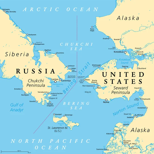
Bering Strait, Political Map. Strait Between The North Pacific Ocean And The Arctic Ocean, Separating The Chukchi Peninsula Of The Russian Far East From The Seward Peninsula Of Alaska, United States.
Vector, 7.19MB, 6000 × 6000 eps
Aerial View Of Tadoussac Bay Taken By Drone Over The St-Lawrence River. View Of Pointe-de-L'Islet Trail.
Image, 5.44MB, 3861 × 2172 jpg
Aerial View Of Tadoussac Bay And Saguenay Fjord Taken By Drone Over The St-Lawrence River. View Of The Baie-Ste-Catherine, Tadoussac Ferry Crossing The Saguenay River And Pointe-de-L'Islet Trail.
Image, 3.93MB, 3883 × 2184 jpg
Page 1 >> Next