Home
Images
Vectors
Videos
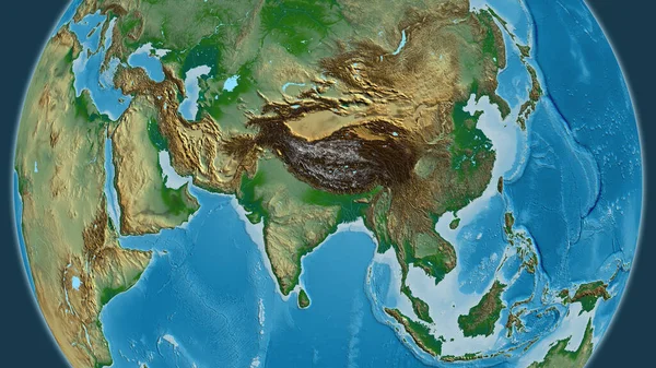
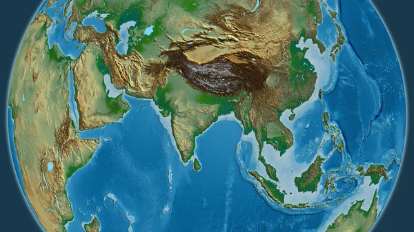
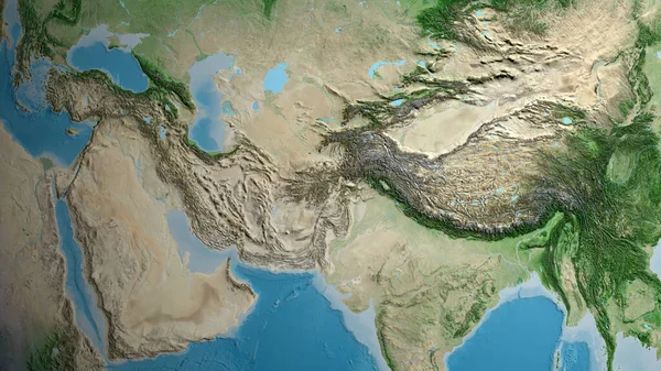
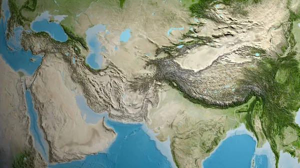
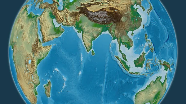
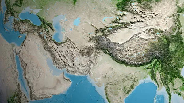
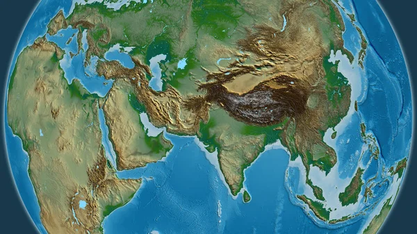
Stock image Afghanistan zoomed and neighborhood. Satellite imagery. 3D rendering
Published:
Jun.22, 2020 14:05:47
Author:
Yarr65
Views:
1
Downloads:
0
File type:
image
/
jpg
File size:
4.93 MB
Orginal size:
2880
x
1620
px
Available sizes:
S
(500 x 281)
M
(1000 x 563)
L
(2000 x 1125)
XL
(2880 x 1620)
EL0
(2880 x 1620)
Level:
bronze
Download Image
Image topics:
View
Shape
Travel
Nature
Sea
Border
Landscape
Glow
Earth
Planet
World
Ocean
Science
Capital
Globe
Profile
Outline
Country
Map
Cartography
Geography
Continent
Land
Zoom
Asia
Satellite
Region
Territory
Atlas
Neighborhood
Overlay
Afghanistan
Kabul
3d Rendering
Subregion
Administrative Division
Similar stock images
Physical Map Centered On Nepal Neighborhood Area
3840 × 2160
Iran Zoomed And Neighborhood. Satellite Imagery. 3D Rendering
2880 × 1620
Physical Map Centered On India Neighborhood Area
3840 × 2160
Satellite Map Centered On Afghanistan Neighborhood Area
3840 × 2160
Satellite Map Centered On Afghanistan Neighborhood Area
3840 × 2160
Physical Map Centered On Sri Lanka Neighborhood Area
3840 × 2160
Satellite Map Centered On Afghanistan Neighborhood Area
3840 × 2160
Physical Globe Map Centered On Pakistan
3840 × 2160