Home
Images
Vectors
Videos
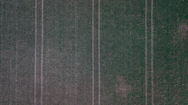
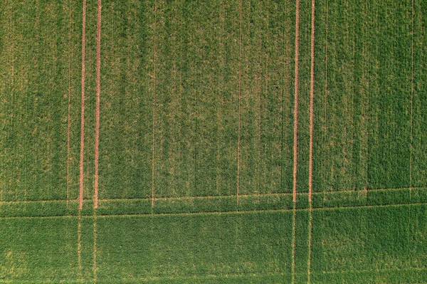
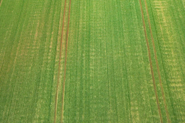
Stock image an aerial view photo of fields in Ireland showcasing the intricate patterns and lines created by agricultural activities
Published:
May.08, 2023 13:22:40
Author:
Kotislav
Views:
8
Downloads:
1
File type:
image
/
jpg
File size:
13.22 MB
Orginal size:
3301
x
4436
px
Available sizes:
S
(372 x 500)
M
(744 x 1000)
L
(1488 x 2000)
XL
(3301 x 4436)
EL0
(3301 x 4436)
Level:
beginner
Download Image
Image topics:
Environment
Rural
Agriculture
Lines
Countryside
Harvesting
Farming
Soil
Symmetry
Farmland
Ireland
Vegetation
Fields
Patterns
Topography
Terrain
Cultivation
Plowing
Biodiversity
Environmentalism
Agribusiness
Louth
Rural Landscape
Aerial View
Natural Resources
Meath
Crop Circles
Agricultural Land
Contour Lines
Land Art
Farm Management
Land Formations
Land Use
Agricultural Practices
Agriculture Industry
Sustainable Agriculture
Crop Rotation
Food Security
Land Management
Land Development
Aerial Landscape
Agroecology
Drone Photography
Land Conservation
Aerial Surveying
Land Use Planning
Agricultural Patterns
Precision Agriculture
Farming Patterns
Similar stock images
Cornfield During Spring In Austria, Drone Shot From Above, Nature Drone Photography
3657 × 2054
Tractor Fresh Trace On The Field And Herd Of Deer And Roes, Above View From Drone.
5464 × 3640
A Vertical Top View Of A Plant Field Divided Into Two Sectors
6048 × 8064
Drone Photo Of Sown Field In Mazowsze Region Of Poland
4500 × 2998
A Vertical Top View Of A Green Plant Field
6048 × 8064
Scenic Top View Of Agriculture Field, Full Frame Shot For Background
3333 × 2500
Aerial View Of Green Wheat Crop Seedling Field, Top View Drone Pov
5464 × 3640
Flat Terrain, Farmland Covered With Emerging Green Crops. Photo Taken From Height Using A Drone.
4623 × 3080