
Stock image Land Use


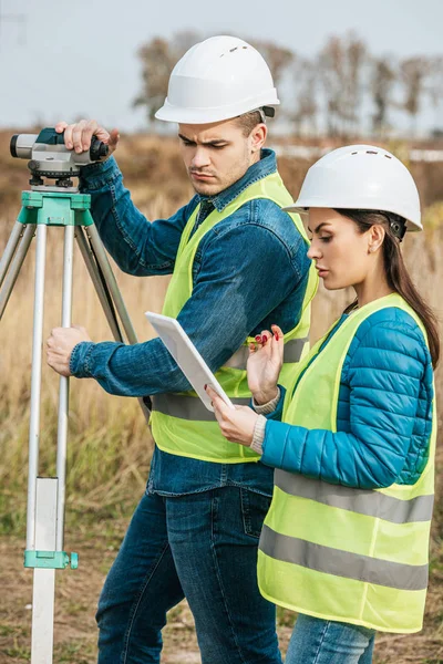


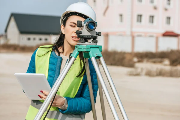
Smiling Surveyor With Digital Tablet And Colleague With Measuring Level
Image, 9.66MB, 7360 × 4912 jpg


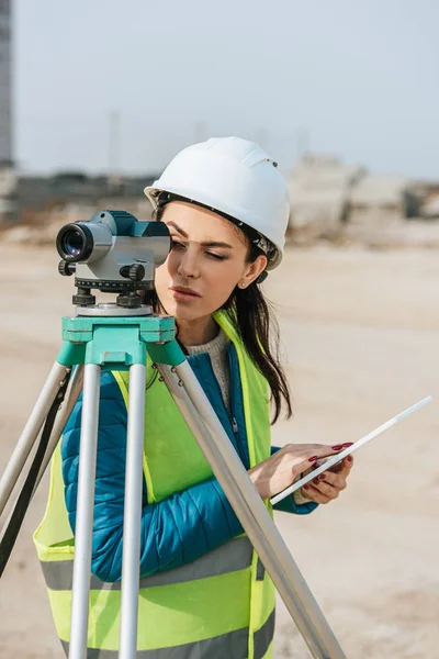
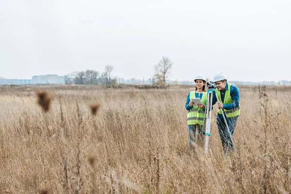
Smiling Surveyors With Digital Level And Tablet Looking At Camera In Field
Image, 8.23MB, 7360 × 4912 jpg


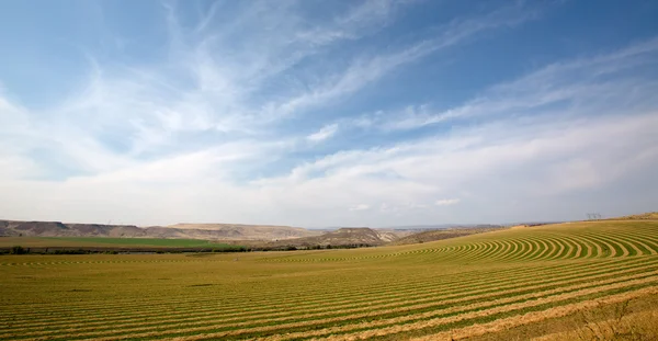
An Aerial View Photo Of Fields In Ireland Showcasing The Intricate Patterns And Lines Created By Agricultural Activities
Image, 13.22MB, 3301 × 4436 jpg


Imaginary General Urban Plan With Urban Destinations Roads, Buildable Areas, Land Plot And Lone Tree On A Rural Scene - Note: The Map Is Totally Invented And Does Not Represent Any Real Place
Image, 15.04MB, 7872 × 3168 jpg

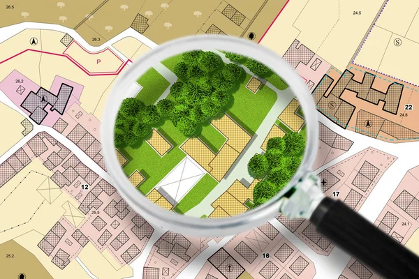
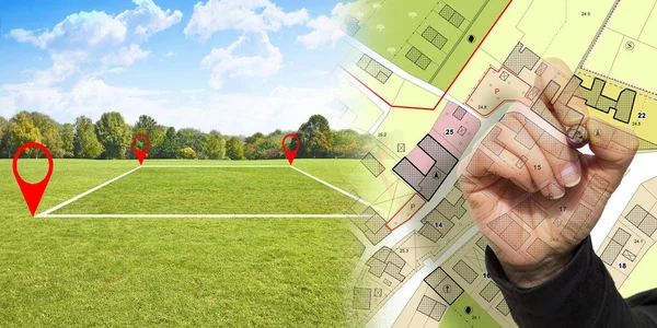
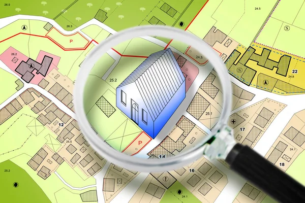
Searching New Home - Concept With An Imaginary General Urban Plan With Buildings, Roads And Magnifying Glass - NOTE: The Map Is Totally Invented And Does Not Represent Any Real Place
Image, 9.58MB, 4752 × 3168 jpg


Landscape View Of A Red Blueberry Field Captured During The Winter Months On A Farm.
Image, 22.2MB, 5500 × 3667 jpg


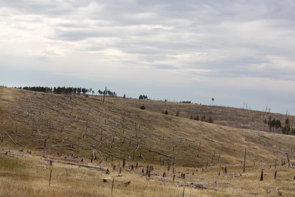
Aerial View Of Deforestation Area For Agricultural Land By Drone. Contact Zone Between Forest And Plantation
Image, 20.62MB, 5464 × 3640 jpg
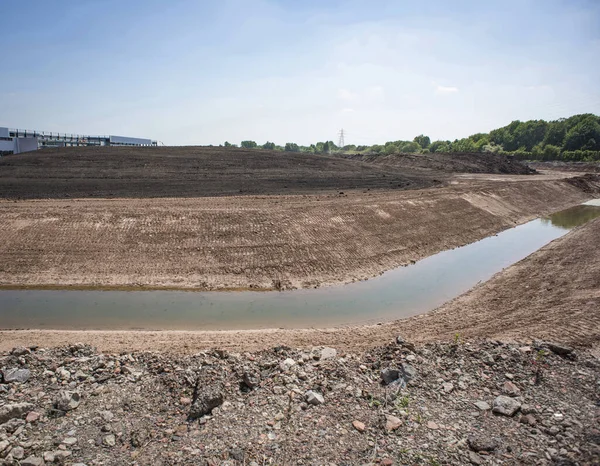
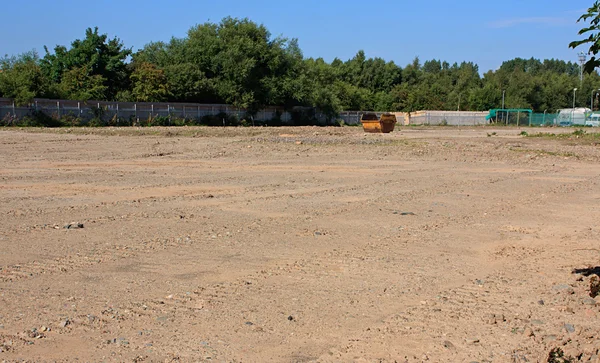
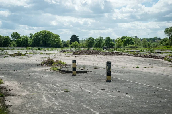
Land Remediation On Site Of Former Chemical Works, Prior To Redevelopment, UK.
Image, 21.37MB, 5160 × 4016 jpg
Land Plot Management - Real Estate Concept With A Vacant Land For Building Construction And Imaginary General Urban Plan With Indications Of Urban Destinations
Image, 17.59MB, 6336 × 3168 jpg
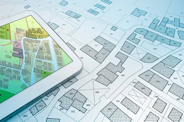
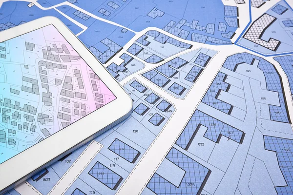
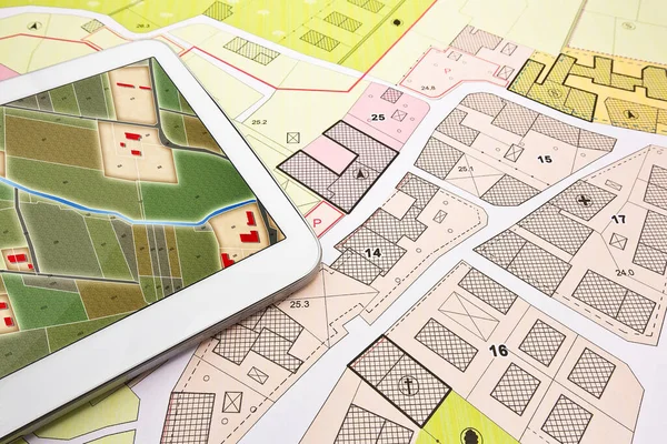
Buildings Permit Concept With Imaginary Cadastral On Digital Tablet - Building Activity And Construction Industry With General Urban Plan
Image, 12.16MB, 5760 × 3840 jpg

Buildings Permit Concept With Imaginary Cadastral On Digital Tablet - Building Activity And Construction Industry With General Urban Plan
Image, 12.16MB, 5760 × 3840 jpg

Engineer Drawing Over An Imaginary General Urban Plan Of Territory With Buildings, Roads And Land Parcel - Note: The Map Is Totally Invented And Does Not Represent Any Real Place
Image, 6.87MB, 4752 × 3168 jpg
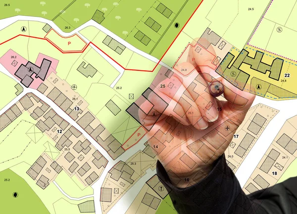
Imaginary General Urban Plan With Indications Of Urban Destinations With Buildings, Roads, Buildable Areas And Land Plot With Female Hand Writing
Image, 11.13MB, 5751 × 4147 jpg
Searching New Home - Concept With An Imaginary General Urban Plan With Buildings, Roads And Magnifying Glass - NOTE: The Map Is Totally Invented And Does Not Represent Any Real Place
Image, 6.81MB, 4752 × 3168 jpg
Buildings Permit Concept With Imaginary Cadastral On Digital Tablet - Building Activity And Construction Industry With General Urban Plan
Image, 17.49MB, 5760 × 3840 jpg
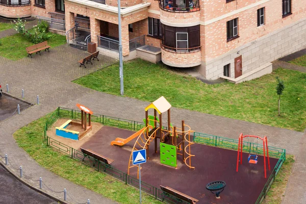
Aerial View Children Playground And House Building Exterior Mixed-use Urban Multi-family Residential District Area Development
Image, 7.26MB, 4251 × 2834 jpg
Buildings Permit Concept With Imaginary Cadastral On Digital Tablet - Building Activity And Construction Industry With General Urban Plan
Image, 10.71MB, 5760 × 3840 jpg

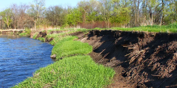
River Bank Erosion Often Occurs Along Meander Bends Such As This One On The Kishwaukee River In Northern Illinois.
Image, 11.42MB, 4750 × 2375 jpg
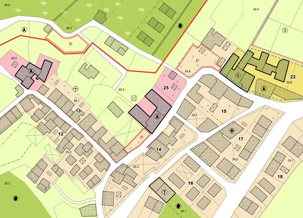
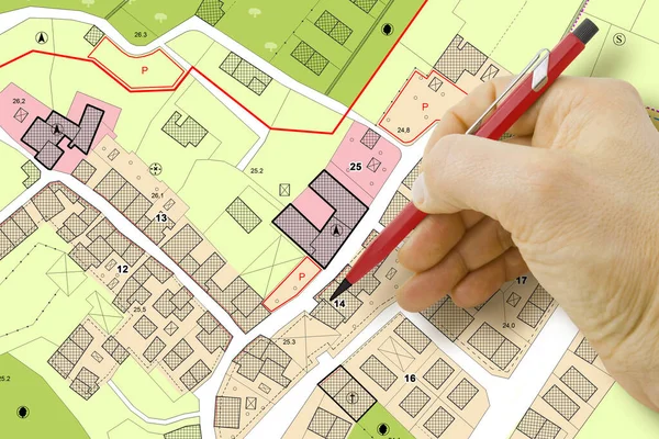
Imaginary General Urban Plan With Indications Of Urban Destinations With Buildings, Roads, Buildable Areas And Land Plot - Note: The Map Is Totally Invented And Does Not Represent Any Real Place
Image, 8.83MB, 5751 × 4147 jpg

Imaginary General Urban Plan With Indications Of Urban Destinations With Buildings, Roads, Buildable Areas And Land Plot - Problems And Solutions Concept In Jigsaw Puzzle Shape
Image, 9.33MB, 5484 × 3528 jpg
Page 1 >> Next