Home
Images
Vectors
Videos
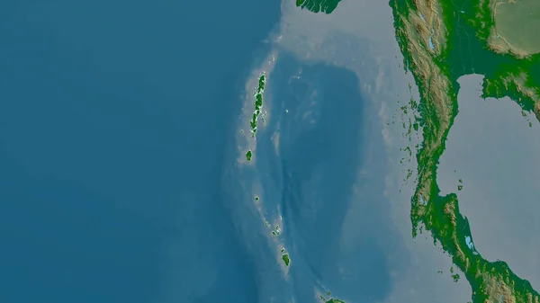
Stock image Andaman and Nicobar, union territory of India. Satellite imagery. Shape outlined against its country area. 3D rendering
Published:
Aug.04, 2020 13:26:57
Author:
Yarr65
Views:
2
Downloads:
1
File type:
image
/
jpg
File size:
2.35 MB
Orginal size:
2880
x
1620
px
Available sizes:
S
(500 x 281)
M
(1000 x 563)
L
(2000 x 1125)
XL
(2880 x 1620)
EL0
(2880 x 1620)
Level:
bronze
Download Image
Image topics:
View
Shape
Travel
Nature
Border
Landscape
Glow
Contour
Scale
Earth
Planet
World
Ocean
Science
Capital
Profile
Outline
Country
Map
Cartography
Geography
Continent
Land
Zoom
Asia
India
Satellite
Region
Territory
Outlined
Atlas
Legend
Overlay
Ind
3d Rendering
New Delhi
Port Blair
Subregion
Union Territory
Andaman And Nicobar
Administrative Division
Andaman & Nicobar Islands
Iihas De Andama E Nicobar
Inseln Andamanen Und Nikobare
Andaman Et Nicobar
Similar stock images
Andaman And Nicobar, Union Territory Of India. Colored Shader Data With Lakes And Rivers. Shape Outlined Against Its Country Area. 3D Rendering
2880 × 1620
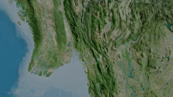
Tanintharyi, Division Of Myanmar. Satellite Imagery. Shape Outlined Against Its Country Area. 3D Rendering
2880 × 1620
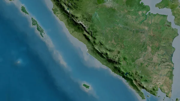
Bengkulu, Province Of Indonesia. Satellite Imagery. Shape Outlined Against Its Country Area. 3D Rendering
2880 × 1620
Andaman And Nicobar, Union Territory Of India. Colored Relief With Lakes And Rivers. Shape Outlined Against Its Country Area. 3D Rendering
2880 × 1620
Lakshadweep, Union Territory Of India. Satellite Imagery. Shape Outlined Against Its Country Area. 3D Rendering
2880 × 1620
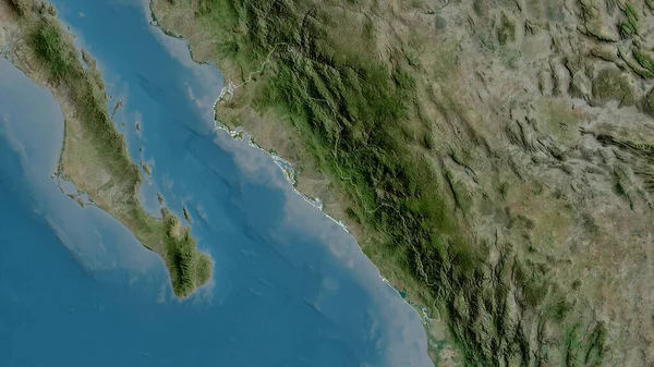
Kayin, State Of Myanmar. Satellite Imagery. Shape Outlined Against Its Country Area. 3D Rendering
2880 × 1620
Sinaloa, State Of Mexico. Satellite Imagery. Shape Outlined Against Its Country Area. 3D Rendering
2880 × 1620
Lampung, Province Of Indonesia. Satellite Imagery. Shape Outlined Against Its Country Area. 3D Rendering
2880 × 1620