Home
Images
Vectors
Videos
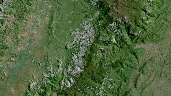
Stock image Apure, state of Venezuela. Satellite imagery. Shape outlined against its country area. 3D rendering
Published:
Sep.16, 2020 07:04:08
Author:
Yarr65
Views:
3
Downloads:
1
File type:
image
/
jpg
File size:
8.51 MB
Orginal size:
2880
x
1620
px
Available sizes:
S
(500 x 281)
M
(1000 x 563)
L
(2000 x 1125)
XL
(2880 x 1620)
EL0
(2880 x 1620)
Level:
bronze
Download Image
Image topics:
View
Shape
Travel
Nature
Border
Landscape
Glow
Contour
Scale
Earth
Planet
World
Ocean
Science
Capital
Profile
Outline
Country
Map
Cartography
Geography
Continent
Land
Zoom
State
Satellite
Region
Territory
Outlined
Atlas
Legend
Overlay
Venezuela
Caracas
Ven
3d Rendering
South America
Subregion
San Fernando De Apure
Administrative Division
Similar stock images
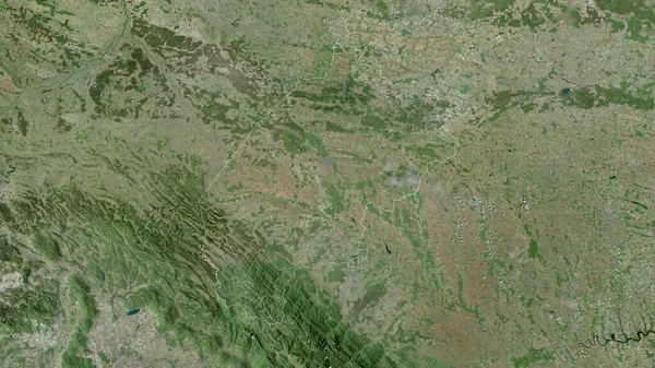
Cojedes, State Of Venezuela. Satellite Imagery. Shape Outlined Against Its Country Area. 3D Rendering
2880 × 1620
Apure, State Of Venezuela. High Resolution Satellite Map
3840 × 2880
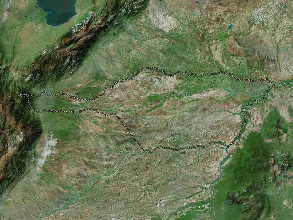
Rasinski, District Of Serbia. Satellite Imagery. Shape Outlined Against Its Country Area. 3D Rendering
2880 × 1620
Alta Verapaz, Department Of Guatemala. Satellite Imagery. Shape Outlined Against Its Country Area. 3D Rendering
2880 × 1620
Bourgogne-Franche-Comte , Region Of France. Satellite Imagery. Shape Outlined Against Its Country Area. 3D Rendering
2880 × 1620
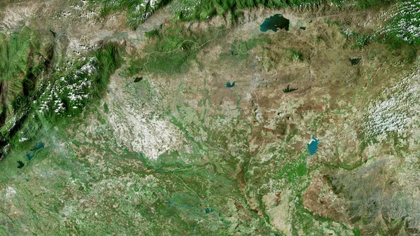
Bulgan, Province Of Mongolia. Satellite Imagery. Shape Outlined Against Its Country Area. 3D Rendering
2880 × 1620
Quindio, Department Of Colombia. Satellite Imagery. Shape Outlined Against Its Country Area. 3D Rendering
2880 × 1620
L'viv, Region Of Ukraine. Satellite Imagery. Shape Outlined Against Its Country Area. 3D Rendering
2880 × 1620