Home
Images
Vectors
Videos
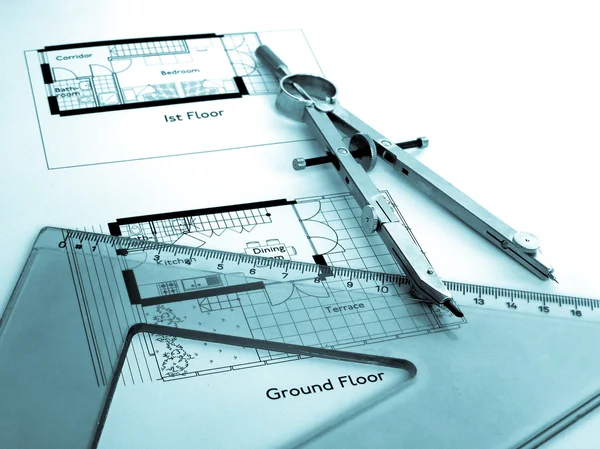
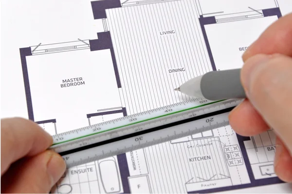
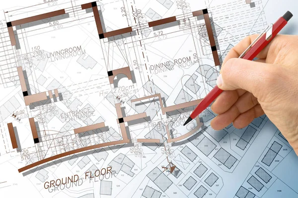
Stock image Architect drawing a residential building project over an imaginary cadastral map of territory with buildings and land plots
Published:
May.03, 2023 07:45:49
Author:
Francescoscatena
Views:
1
Downloads:
0
File type:
image
/
jpg
File size:
9.43 MB
Orginal size:
5283
x
3519
px
Available sizes:
S
(500 x 333)
M
(1000 x 666)
L
(2000 x 1332)
XL
(5283 x 3519)
EL0
(5283 x 3519)
Level:
bronze
Download Image
Image topics:
Parcel
Concepts
Road
Concept
Architecture
Building
City
Construction
House
Urban
Home
Measure
Measurement
Planning
Drawing
Tax
Project
Property
Town
Map
Cartography
Plan
Land
Architect
Residential
Engineer
Lot
Plot
Survey
Settlement
Vacant
Registry
Surveyor
Valuation
Zoning
Cadastre
Real Estate
Building Exterior
Residential District
Built Structure
Residential Building
Home Ownership
Construction Industry
Semi Detached House
Cadastral
Land Plot
Building Activity
Cartographic Survey
Land Register
Cadastral Survey
Similar stock images
Architect Or Engineer Designing A Planimetry Of A New Imaginary Theater, Cinema And Convention Center - Concept Image.
4752 × 3168
Working On A Project
4968 × 2600
Blueprints And Calculator
4220 × 2863
Housing Project Concept
6510 × 4888
Updating Public Cadastral Digital Databases And Information About Land Registry - Concept Image With An Imaginary Cadastral Map Of Territory With Buildings, Roads And Land Parcel - Note: The Map Background Is Totally Invented And Does Not Represent A
9517 × 3172
Technical Drawing
2366 × 1774
Pencil, Documents And Blueprint
4288 × 2848
Measuring Your New Home Size
4288 × 2848