photo free
Home Images Vectors Videos

Stock image Area of Atlantique, department of Benin, isolated on a solid background in a georeferenced bounding box. Labels. Bilevel elevation map. 3D rendering

Stock image Area of Atlantique, department of Benin, isolated on a solid background in a georeferenced bounding box. Labels. Bilevel elevation map. 3D rendering
Published: Aug.18, 2020 11:45:58
Author: Yarr65
Views: 6
Downloads: 0
File type: image / jpg
File size: 0.73 MB
Orginal size: 2880 x 1620 px
Available sizes:
S
(500 x 281)
M
(1000 x 563)
L
(2000 x 1125)
XL
(2880 x 1620)
EL0
(2880 x 1620)
Level: bronze
Download Image
Image topics:

Similar stock images

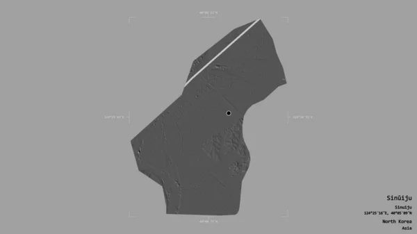
stock image Area of Sinuiju, special administrative region of North Korea, isolated on a solid background in a georeferenced bounding box. Labels. Bilevel elevation map. 3D rendering

Area Of Sinuiju, Special Administrative Region Of North Korea, Isolated On A Solid Background In A Georeferenced Bounding Box. Labels. Bilevel Elevation Map. 3D Rendering

2880 × 1620
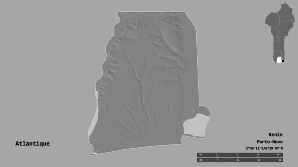
stock image Shape of Atlantique, department of Benin, with its capital isolated on solid background. Distance scale, region preview and labels. Bilevel elevation map. 3D rendering

Shape Of Atlantique, Department Of Benin, With Its Capital Isolated On Solid Background. Distance Scale, Region Preview And Labels. Bilevel Elevation Map. 3D Rendering

2880 × 1620
stock image Area of Ariana, governorate of Tunisia, isolated on a solid background in a georeferenced bounding box. Labels. Bilevel elevation map. 3D rendering

Area Of Ariana, Governorate Of Tunisia, Isolated On A Solid Background In A Georeferenced Bounding Box. Labels. Bilevel Elevation Map. 3D Rendering

2880 × 1620
stock image Area of Centre, region of Togo, isolated on a solid background in a georeferenced bounding box. Labels. Bilevel elevation map. 3D rendering

Area Of Centre, Region Of Togo, Isolated On A Solid Background In A Georeferenced Bounding Box. Labels. Bilevel Elevation Map. 3D Rendering

2880 × 1620
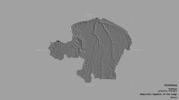
stock image Area of Kinshasa, province of Democratic Republic of the Congo, isolated on a solid background in a georeferenced bounding box. Labels. Bilevel elevation map. 3D rendering

Area Of Kinshasa, Province Of Democratic Republic Of The Congo, Isolated On A Solid Background In A Georeferenced Bounding Box. Labels. Bilevel Elevation Map. 3D Rendering

2880 × 1620
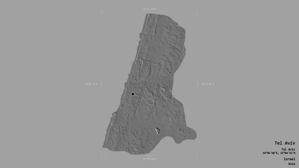
stock image Area of Tel Aviv, district of Israel, isolated on a solid background in a georeferenced bounding box. Labels. Bilevel elevation map. 3D rendering

Area Of Tel Aviv, District Of Israel, Isolated On A Solid Background In A Georeferenced Bounding Box. Labels. Bilevel Elevation Map. 3D Rendering

2880 × 1620
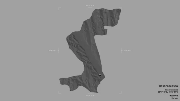
stock image Area of Basarabeasca, district of Moldova, isolated on a solid background in a georeferenced bounding box. Labels. Bilevel elevation map. 3D rendering

Area Of Basarabeasca, District Of Moldova, Isolated On A Solid Background In A Georeferenced Bounding Box. Labels. Bilevel Elevation Map. 3D Rendering

2880 × 1620
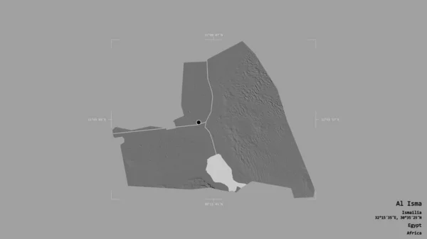
stock image Area of Al Isma, governorate of Egypt, isolated on a solid background in a georeferenced bounding box. Labels. Bilevel elevation map. 3D rendering

Area Of Al Isma, Governorate Of Egypt, Isolated On A Solid Background In A Georeferenced Bounding Box. Labels. Bilevel Elevation Map. 3D Rendering

2880 × 1620