photo free
Home Images Vectors Videos

Stock image Area of Brazil isolated on a solid background in a georeferenced bounding box. Main regional division, distance scale, labels. Topographic relief map. 3D rendering
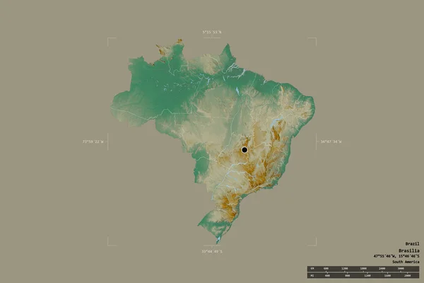
Stock image Area of Brazil isolated on a solid background in a georeferenced bounding box. Main regional division, distance scale, labels. Topographic relief map. 3D rendering
Published: Aug.26, 2020 13:57:53
Author: Yarr65
Views: 10
Downloads: 1
File type: image / jpg
File size: 1.6 MB
Orginal size: 3000 x 2000 px
Available sizes:
S
(500 x 333)
M
(1000 x 667)
L
(2000 x 1333)
XL
(3000 x 2000)
EL0
(3000 x 2000)
Level: bronze
Download Image
Image topics:

Similar stock images

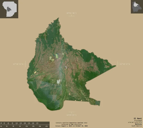
stock image El Beni, department of Bolivia. Sentinel-2 satellite imagery. Shape isolated on solid background with informative overlays. Contains modified Copernicus Sentinel data

El Beni, Department Of Bolivia. Sentinel-2 Satellite Imagery. Shape Isolated On Solid Background With Informative Overlays. Contains Modified Copernicus Sentinel Data

3346 × 2988
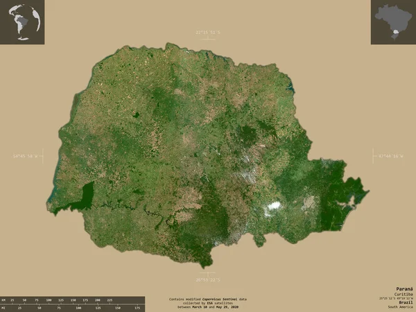
stock image Parana, state of Brazil. Sentinel-2 satellite imagery. Shape isolated on solid background with informative overlays. Contains modified Copernicus Sentinel data

Parana, State Of Brazil. Sentinel-2 Satellite Imagery. Shape Isolated On Solid Background With Informative Overlays. Contains Modified Copernicus Sentinel Data

3649 × 2740
stock image El Paraiso, department of Honduras. Sentinel-2 satellite imagery. Shape isolated on solid background with informative overlays. Contains modified Copernicus Sentinel data

El Paraiso, Department Of Honduras. Sentinel-2 Satellite Imagery. Shape Isolated On Solid Background With Informative Overlays. Contains Modified Copernicus Sentinel Data

4016 × 2489
stock image Varazdinska, county of Croatia. Sentinel-2 satellite imagery. Shape isolated on solid background with informative overlays. Contains modified Copernicus Sentinel data

Varazdinska, County Of Croatia. Sentinel-2 Satellite Imagery. Shape Isolated On Solid Background With Informative Overlays. Contains Modified Copernicus Sentinel Data

4010 × 2493
stock image Area of Brazil isolated on a solid background in a georeferenced bounding box. Main regional division, distance scale, labels. Satellite imagery. 3D rendering

Area Of Brazil Isolated On A Solid Background In A Georeferenced Bounding Box. Main Regional Division, Distance Scale, Labels. Satellite Imagery. 3D Rendering

3000 × 2000
stock image Maranhao, state of Brazil. Sentinel-2 satellite imagery. Shape isolated on solid background with informative overlays. Contains modified Copernicus Sentinel data

Maranhao, State Of Brazil. Sentinel-2 Satellite Imagery. Shape Isolated On Solid Background With Informative Overlays. Contains Modified Copernicus Sentinel Data

3131 × 3193
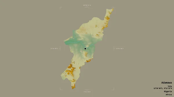
stock image Area of Adamawa, state of Nigeria, isolated on a solid background in a georeferenced bounding box. Labels. Topographic relief map. 3D rendering

Area Of Adamawa, State Of Nigeria, Isolated On A Solid Background In A Georeferenced Bounding Box. Labels. Topographic Relief Map. 3D Rendering

2880 × 1620
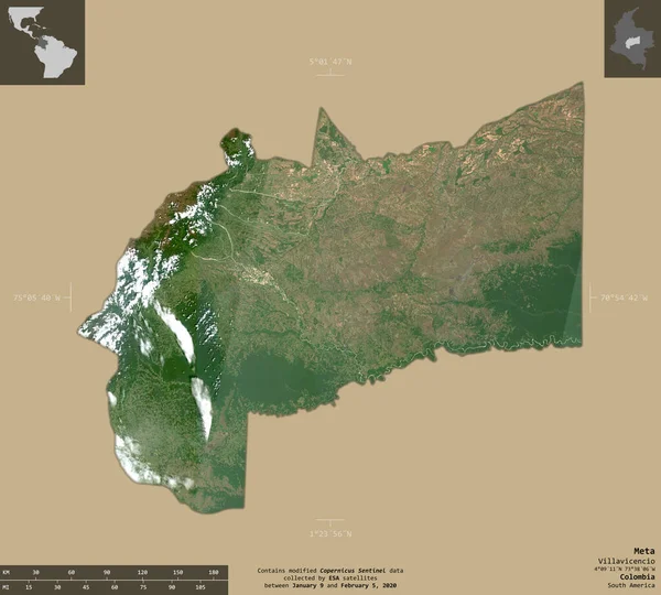
stock image Meta, department of Colombia. Sentinel-2 satellite imagery. Shape isolated on solid background with informative overlays. Contains modified Copernicus Sentinel data

Meta, Department Of Colombia. Sentinel-2 Satellite Imagery. Shape Isolated On Solid Background With Informative Overlays. Contains Modified Copernicus Sentinel Data

3333 × 3000