photo free
Home Images Vectors Videos

Stock image Area of Cuba isolated on a solid background in a georeferenced bounding box. Main regional division, distance scale, labels. Satellite imagery. 3D rendering
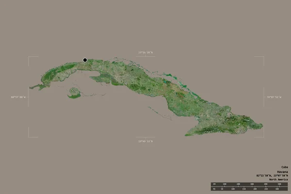
Stock image Area of Cuba isolated on a solid background in a georeferenced bounding box. Main regional division, distance scale, labels. Satellite imagery. 3D rendering
Published: Aug.18, 2020 11:16:56
Author: Yarr65
Views: 1
Downloads: 0
File type: image / jpg
File size: 1.23 MB
Orginal size: 3000 x 2000 px
Available sizes:
S
(500 x 333)
M
(1000 x 667)
L
(2000 x 1333)
XL
(3000 x 2000)
EL0
(3000 x 2000)
Level: bronze
Download Image
Image topics:

Similar stock images

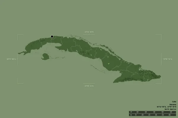
stock image Area of Cuba isolated on a solid background in a georeferenced bounding box. Main regional division, distance scale, labels. Topographic relief map. 3D rendering

Area Of Cuba Isolated On A Solid Background In A Georeferenced Bounding Box. Main Regional Division, Distance Scale, Labels. Topographic Relief Map. 3D Rendering

3000 × 2000
stock image Ciego de Avila, province of Cuba. Sentinel-2 satellite imagery. Shape isolated on solid background with informative overlays. Contains modified Copernicus Sentinel data

Ciego De Avila, Province Of Cuba. Sentinel-2 Satellite Imagery. Shape Isolated On Solid Background With Informative Overlays. Contains Modified Copernicus Sentinel Data

3248 × 3078
stock image Matanzas, province of Cuba. Sentinel-2 satellite imagery. Shape isolated on solid background with informative overlays. Contains modified Copernicus Sentinel data

Matanzas, Province Of Cuba. Sentinel-2 Satellite Imagery. Shape Isolated On Solid Background With Informative Overlays. Contains Modified Copernicus Sentinel Data

3287 × 3042
stock image Area of Cuba isolated on a solid background in a georeferenced bounding box. Main regional division, distance scale, labels. Colored elevation map. 3D rendering

Area Of Cuba Isolated On A Solid Background In A Georeferenced Bounding Box. Main Regional Division, Distance Scale, Labels. Colored Elevation Map. 3D Rendering

3000 × 2000
stock image Desaturated shape of Cuba with its capital, main regional division and the separated Ciego de Avila area. Labels. Topographic relief map. 3D rendering

Desaturated Shape Of Cuba With Its Capital, Main Regional Division And The Separated Ciego De Avila Area. Labels. Topographic Relief Map. 3D Rendering

2880 × 1620
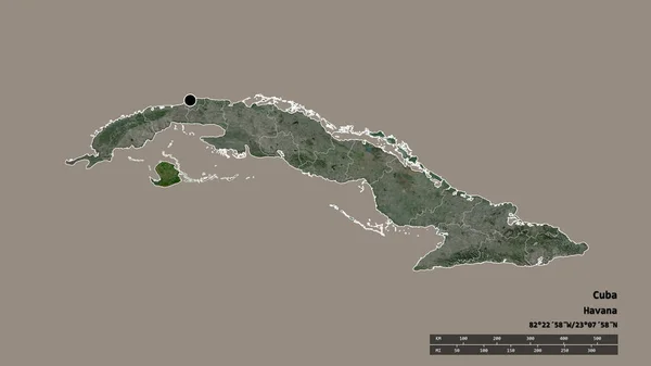
stock image Desaturated shape of Cuba with its capital, main regional division and the separated Isla de la Juventud area. Labels. Satellite imagery. 3D rendering

Desaturated Shape Of Cuba With Its Capital, Main Regional Division And The Separated Isla De La Juventud Area. Labels. Satellite Imagery. 3D Rendering

2880 × 1620
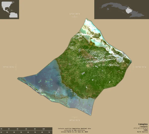
stock image Camaguey, province of Cuba. Sentinel-2 satellite imagery. Shape isolated on solid background with informative overlays. Contains modified Copernicus Sentinel data

Camaguey, Province Of Cuba. Sentinel-2 Satellite Imagery. Shape Isolated On Solid Background With Informative Overlays. Contains Modified Copernicus Sentinel Data

3336 × 2997
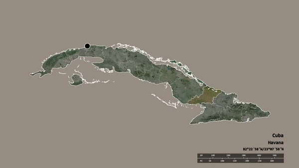
stock image Desaturated shape of Cuba with its capital, main regional division and the separated Las Tunas area. Labels. Satellite imagery. 3D rendering

Desaturated Shape Of Cuba With Its Capital, Main Regional Division And The Separated Las Tunas Area. Labels. Satellite Imagery. 3D Rendering

2880 × 1620