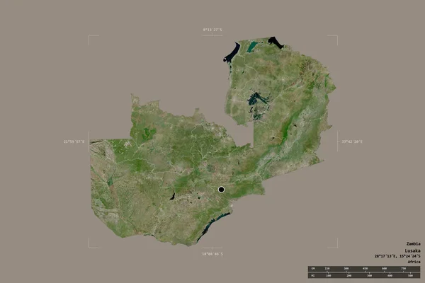
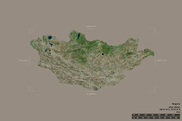
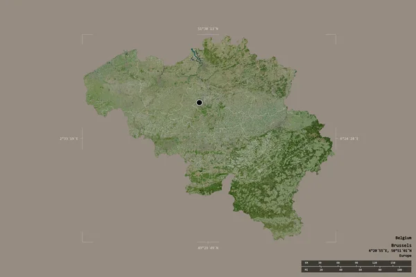
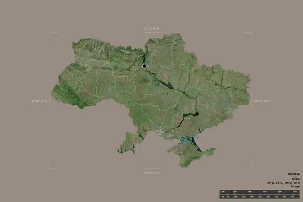
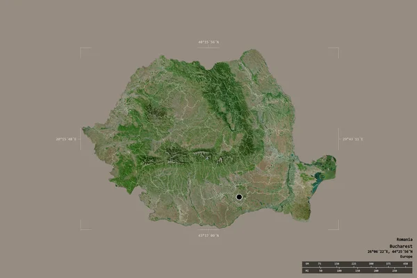
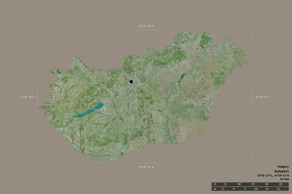
Stock image Area of El Salvador isolated on a solid background in a georeferenced bounding box. Main regional division, distance scale, labels. Satellite imagery. 3D rendering

Published: Aug.28, 2020 10:37:31
Author: Yarr65
Views: 1
Downloads: 0
File type: image / jpg
File size: 2.75 MB
Orginal size: 3000 x 2000 px
Available sizes:
Level: bronze