photo free
Home Images Vectors Videos

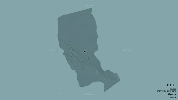
Stock image Area of Illizi, province of Algeria, isolated on a solid background in a georeferenced bounding box. Labels. Bilevel elevation map. 3D rendering
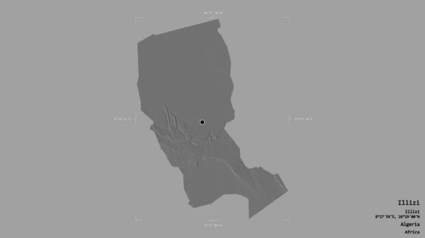
Stock image Area of Illizi, province of Algeria, isolated on a solid background in a georeferenced bounding box. Labels. Bilevel elevation map. 3D rendering
Published: Aug.18, 2020 13:42:13
Author: Yarr65
Views: 0
Downloads: 0
File type: image / jpg
File size: 0.49 MB
Orginal size: 2880 x 1620 px
Available sizes:
S
(500 x 281)
M
(1000 x 563)
L
(2000 x 1125)
XL
(2880 x 1620)
EL0
(2880 x 1620)
Level: bronze
Download Image
Image topics:

Similar stock images

stock image Area of Marsabit, county of Kenya, isolated on a solid background in a georeferenced bounding box. Labels. Bilevel elevation map. 3D rendering

Area Of Marsabit, County Of Kenya, Isolated On A Solid Background In A Georeferenced Bounding Box. Labels. Bilevel Elevation Map. 3D Rendering

2880 × 1620
stock image Area of Illizi, province of Algeria, isolated on a solid background in a georeferenced bounding box. Labels. Colored elevation map. 3D rendering

Area Of Illizi, Province Of Algeria, Isolated On A Solid Background In A Georeferenced Bounding Box. Labels. Colored Elevation Map. 3D Rendering

2880 × 1620
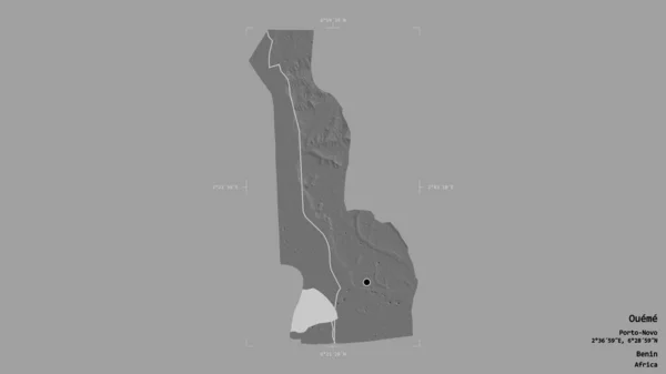
stock image Area of Oueme, department of Benin, isolated on a solid background in a georeferenced bounding box. Labels. Bilevel elevation map. 3D rendering

Area Of Oueme, Department Of Benin, Isolated On A Solid Background In A Georeferenced Bounding Box. Labels. Bilevel Elevation Map. 3D Rendering

2880 × 1620
stock image Area of Oueme, department of Benin, isolated on a solid background in a georeferenced bounding box. Labels. Colored elevation map. 3D rendering

Area Of Oueme, Department Of Benin, Isolated On A Solid Background In A Georeferenced Bounding Box. Labels. Colored Elevation Map. 3D Rendering

2880 × 1620
stock image Area of Al Bahr al Ahmar, governorate of Egypt, isolated on a solid background in a georeferenced bounding box. Labels. Bilevel elevation map. 3D rendering

Area Of Al Bahr Al Ahmar, Governorate Of Egypt, Isolated On A Solid Background In A Georeferenced Bounding Box. Labels. Bilevel Elevation Map. 3D Rendering

2880 × 1620
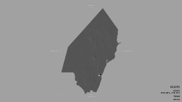
stock image Area of Kilifi, county of Kenya, isolated on a solid background in a georeferenced bounding box. Labels. Bilevel elevation map. 3D rendering

Area Of Kilifi, County Of Kenya, Isolated On A Solid Background In A Georeferenced Bounding Box. Labels. Bilevel Elevation Map. 3D Rendering

2880 × 1620
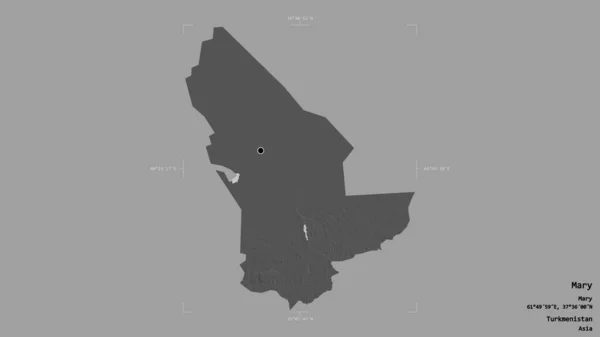
stock image Area of Mary, province of Turkmenistan, isolated on a solid background in a georeferenced bounding box. Labels. Bilevel elevation map. 3D rendering

Area Of Mary, Province Of Turkmenistan, Isolated On A Solid Background In A Georeferenced Bounding Box. Labels. Bilevel Elevation Map. 3D Rendering

2880 × 1620
stock image Area of Marsabit, county of Kenya, isolated on a solid background in a georeferenced bounding box. Labels. Colored elevation map. 3D rendering

Area Of Marsabit, County Of Kenya, Isolated On A Solid Background In A Georeferenced Bounding Box. Labels. Colored Elevation Map. 3D Rendering

2880 × 1620