photo free
Home Images Vectors Videos

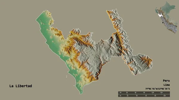
Stock image Area of La Libertad, region of Peru, isolated on a solid background in a georeferenced bounding box. Labels. Topographic relief map. 3D rendering
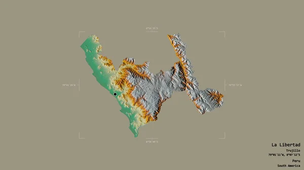
Stock image Area of La Libertad, region of Peru, isolated on a solid background in a georeferenced bounding box. Labels. Topographic relief map. 3D rendering
Published: Aug.21, 2020 08:28:15
Author: Yarr65
Views: 4
Downloads: 1
File type: image / jpg
File size: 1.08 MB
Orginal size: 2880 x 1620 px
Available sizes:
S
(500 x 281)
M
(1000 x 563)
L
(2000 x 1125)
XL
(2880 x 1620)
EL0
(2880 x 1620)
Level: bronze
Download Image
Image topics:

Similar stock images

stock image Shape of La Libertad, region of Peru, with its capital isolated on solid background. Distance scale, region preview and labels. Topographic relief map. 3D rendering

Shape Of La Libertad, Region Of Peru, With Its Capital Isolated On Solid Background. Distance Scale, Region Preview And Labels. Topographic Relief Map. 3D Rendering

2880 × 1620
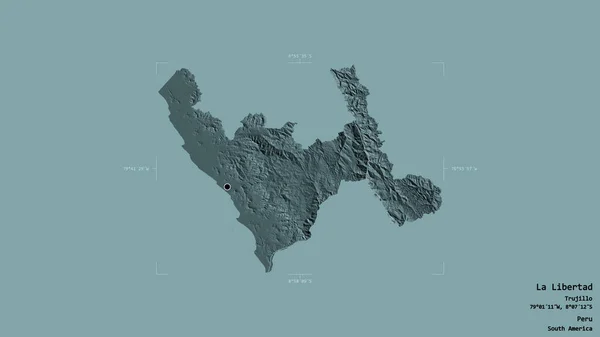
stock image Area of La Libertad, region of Peru, isolated on a solid background in a georeferenced bounding box. Labels. Colored elevation map. 3D rendering

Area Of La Libertad, Region Of Peru, Isolated On A Solid Background In A Georeferenced Bounding Box. Labels. Colored Elevation Map. 3D Rendering

2880 × 1620
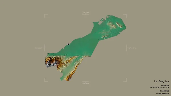
stock image Area of La Guajira, department of Colombia, isolated on a solid background in a georeferenced bounding box. Labels. Topographic relief map. 3D rendering

Area Of La Guajira, Department Of Colombia, Isolated On A Solid Background In A Georeferenced Bounding Box. Labels. Topographic Relief Map. 3D Rendering

2880 × 1620
stock image Area of La Libertad, department of El Salvador, isolated on a solid background in a georeferenced bounding box. Labels. Topographic relief map. 3D rendering

Area Of La Libertad, Department Of El Salvador, Isolated On A Solid Background In A Georeferenced Bounding Box. Labels. Topographic Relief Map. 3D Rendering

2880 × 1620
stock image Area of La Libertad, department of El Salvador, isolated on a solid background in a georeferenced bounding box. Labels. Colored elevation map. 3D rendering

Area Of La Libertad, Department Of El Salvador, Isolated On A Solid Background In A Georeferenced Bounding Box. Labels. Colored Elevation Map. 3D Rendering

2880 × 1620
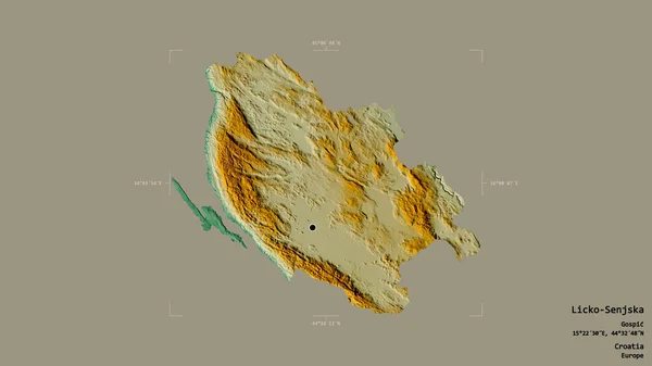
stock image Area of Licko-Senjska, county of Croatia, isolated on a solid background in a georeferenced bounding box. Labels. Topographic relief map. 3D rendering

Area Of Licko-Senjska, County Of Croatia, Isolated On A Solid Background In A Georeferenced Bounding Box. Labels. Topographic Relief Map. 3D Rendering

2880 × 1620
stock image Area of Lima, region of Peru, isolated on a solid background in a georeferenced bounding box. Labels. Topographic relief map. 3D rendering

Area Of Lima, Region Of Peru, Isolated On A Solid Background In A Georeferenced Bounding Box. Labels. Topographic Relief Map. 3D Rendering

2880 × 1620
stock image Area of La Guajira, department of Colombia, isolated on a solid background in a georeferenced bounding box. Labels. Satellite imagery. 3D rendering

Area Of La Guajira, Department Of Colombia, Isolated On A Solid Background In A Georeferenced Bounding Box. Labels. Satellite Imagery. 3D Rendering

2880 × 1620