Home
Images
Vectors
Videos
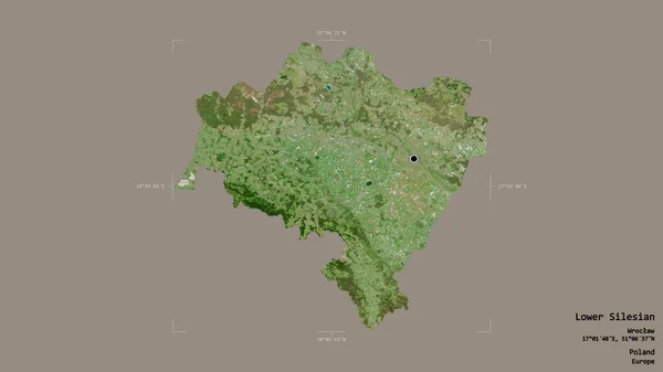
Stock image Area of Lower Silesian, voivodeship of Poland, isolated on a solid background in a georeferenced bounding box. Labels. Satellite imagery. 3D rendering
Published:
Aug.21, 2020 08:29:45
Author:
Yarr65
Views:
0
Downloads:
0
File type:
image
/
jpg
File size:
1.79 MB
Orginal size:
2880
x
1620
px
Available sizes:
S
(500 x 281)
M
(1000 x 563)
L
(2000 x 1125)
XL
(2880 x 1620)
EL0
(2880 x 1620)
Level:
bronze
Download Image
Image topics:
View
Travel
Nature
Sea
Landscape
Earth
Planet
World
Ocean
Science
Capital
Europe
Globe
Profile
Country
Map
Cartography
Geography
Continent
Land
Zoom
Satellite
Region
Poland
Territory
Atlas
Warsaw
Overlay
Pol
Voivodeship
Dolnoslaskie
3d Rendering
Lower Silesian
Subregion
Administrative Division
Similar stock images
Area Of Liberecky, Region Of Czech Republic, Isolated On A Solid Background In A Georeferenced Bounding Box. Labels. Satellite Imagery. 3D Rendering
2880 × 1620
Area Of Upper East, Region Of Ghana, Isolated On A Solid Background In A Georeferenced Bounding Box. Labels. Satellite Imagery. 3D Rendering
2880 × 1620
Area Of Kirov, Region Of Russia, Isolated On A Solid Background In A Georeferenced Bounding Box. Labels. Satellite Imagery. 3D Rendering
2880 × 1620
Area Of East Sussex, Administrative County Of England, Isolated On A Solid Background In A Georeferenced Bounding Box. Labels. Satellite Imagery. 3D Rendering
2880 × 1620
Area Of Jawa Barat, Province Of Indonesia, Isolated On A Solid Background In A Georeferenced Bounding Box. Labels. Satellite Imagery. 3D Rendering
2880 × 1620
Area Of Limerick, County Of Ireland, Isolated On A Solid Background In A Georeferenced Bounding Box. Labels. Satellite Imagery. 3D Rendering
2880 × 1620
Area Of Luhans'k, Region Of Ukraine, Isolated On A Solid Background In A Georeferenced Bounding Box. Labels. Satellite Imagery. 3D Rendering
2880 × 1620
Area Of Gelderland, Province Of Netherlands, Isolated On A Solid Background In A Georeferenced Bounding Box. Labels. Satellite Imagery. 3D Rendering
2880 × 1620