Home
Images
Vectors
Videos
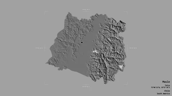
Stock image Area of Maule, region of Chile, isolated on a solid background in a georeferenced bounding box. Labels. Bilevel elevation map. 3D rendering
Published:
Aug.26, 2020 14:14:27
Author:
Yarr65
Views:
0
Downloads:
0
File type:
image
/
jpg
File size:
1 MB
Orginal size:
2880
x
1620
px
Available sizes:
S
(500 x 281)
M
(1000 x 563)
L
(2000 x 1125)
XL
(2880 x 1620)
EL0
(2880 x 1620)
Level:
bronze
Download Image
Image topics:
View
Travel
Nature
Sea
Landscape
Earth
Planet
World
Ocean
Science
Capital
Globe
Profile
Country
Map
Cartography
Geography
Continent
Land
Zoom
Region
Territory
Atlas
Chile
Santiago
Overlay
3d Rendering
South America
Maule
Talca
Subregion
Chl
Bilevel
Administrative Division
Similar stock images
Area Of Covasna, County Of Romania, Isolated On A Solid Background In A Georeferenced Bounding Box. Labels. Bilevel Elevation Map. 3D Rendering
2880 × 1620
Area Of Kardzhali, Province Of Bulgaria, Isolated On A Solid Background In A Georeferenced Bounding Box. Labels. Bilevel Elevation Map. 3D Rendering
2880 × 1620
Area Of Abruzzo, Region Of Italy, Isolated On A Solid Background In A Georeferenced Bounding Box. Labels. Bilevel Elevation Map. 3D Rendering
2880 × 1620
Area Of Irbid, Province Of Jordan, Isolated On A Solid Background In A Georeferenced Bounding Box. Labels. Bilevel Elevation Map. 3D Rendering
2880 × 1620
Area Of Umbria, Region Of Italy, Isolated On A Solid Background In A Georeferenced Bounding Box. Labels. Bilevel Elevation Map. 3D Rendering
2880 × 1620
Area Of Kayah, State Of Myanmar, Isolated On A Solid Background In A Georeferenced Bounding Box. Labels. Bilevel Elevation Map. 3D Rendering
2880 × 1620
Area Of Haskovo, Province Of Bulgaria, Isolated On A Solid Background In A Georeferenced Bounding Box. Labels. Bilevel Elevation Map. 3D Rendering
2880 × 1620
Area Of Wicklow, County Of Ireland, Isolated On A Solid Background In A Georeferenced Bounding Box. Labels. Bilevel Elevation Map. 3D Rendering
2880 × 1620