Home
Images
Vectors
Videos
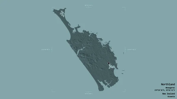
Stock image Area of Northland, regional council of New Zealand, isolated on a solid background in a georeferenced bounding box. Labels. Colored elevation map. 3D rendering
Published:
Sep.16, 2020 07:04:48
Author:
Yarr65
Views:
0
Downloads:
0
File type:
image
/
jpg
File size:
0.71 MB
Orginal size:
2880
x
1620
px
Available sizes:
S
(500 x 281)
M
(1000 x 563)
L
(2000 x 1125)
XL
(2880 x 1620)
EL0
(2880 x 1620)
Level:
bronze
Download Image
Image topics:
View
Travel
Nature
Sea
Landscape
Earth
Planet
World
Ocean
Science
Capital
Globe
Profile
Country
Map
Cartography
Geography
Continent
Land
Zoom
Administrative
Region
Oceania
Territory
Atlas
Overlay
Northland
Wellington
Whangarei
3d Rendering
New Zealand
Nzl
Subregion
Regional Council
Administrative Division
Similar stock images
Area Of Nakuru, County Of Kenya, Isolated On A Solid Background In A Georeferenced Bounding Box. Labels. Colored Elevation Map. 3D Rendering
2880 × 1620
Area Of Osaka, Urban Prefecture Of Japan, Isolated On A Solid Background In A Georeferenced Bounding Box. Labels. Colored Elevation Map. 3D Rendering
2880 × 1620
Area Of Ngobe Bugle, Indigenous Territory Of Panama, Isolated On A Solid Background In A Georeferenced Bounding Box. Labels. Colored Elevation Map. 3D Rendering
2880 × 1620
Area Of Kerala, State Of India, Isolated On A Solid Background In A Georeferenced Bounding Box. Labels. Colored Elevation Map. 3D Rendering
2880 × 1620
Area Of Sabah, State Of Malaysia, Isolated On A Solid Background In A Georeferenced Bounding Box. Labels. Colored Elevation Map. 3D Rendering
2880 × 1620
Area Of Otago, Regional Council Of New Zealand, Isolated On A Solid Background In A Georeferenced Bounding Box. Labels. Colored Elevation Map. 3D Rendering
2880 × 1620
Area Of Odessa, Region Of Ukraine, Isolated On A Solid Background In A Georeferenced Bounding Box. Labels. Colored Elevation Map. 3D Rendering
2880 × 1620
Area Of Antsiranana, Autonomous Province Of Madagascar, Isolated On A Solid Background In A Georeferenced Bounding Box. Labels. Colored Elevation Map. 3D Rendering
2880 × 1620