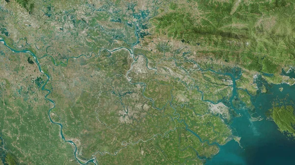
Stock image Ben Tre, province of Vietnam. Satellite imagery. Shape outlined against its country area. 3D rendering

Published: Sep.16, 2020 09:28:25
Author: Yarr65
Views: 4
Downloads: 0
File type: image / jpg
File size: 5.36 MB
Orginal size: 2880 x 1620 px
Available sizes:
Level: bronze
Similar stock images

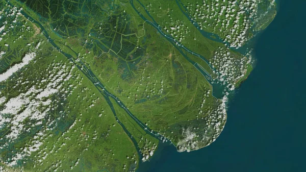
Vinh Long, Province Of Vietnam. Satellite Imagery. Shape Outlined Against Its Country Area. 3D Rendering
2880 × 1620

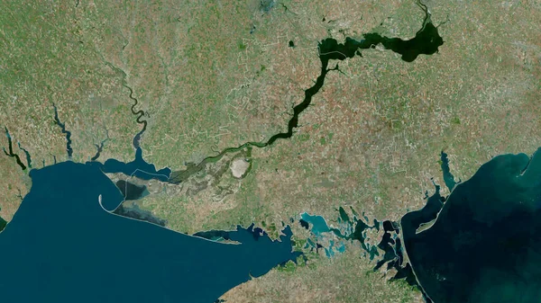
Tien Giang, Province Of Vietnam. Satellite Imagery. Shape Outlined Against Its Country Area. 3D Rendering
2880 × 1620
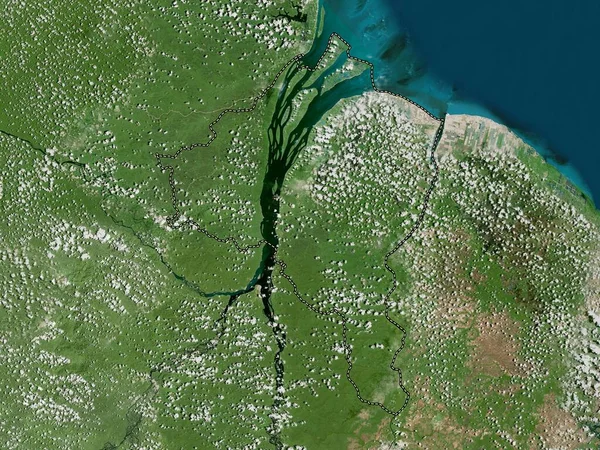
Tra Vinh, Province Of Vietnam. Satellite Imagery. Shape Outlined Against Its Country Area. 3D Rendering
2880 × 1620

Ninh Binh , Province Of Vietnam. Satellite Imagery. Shape Outlined Against Its Country Area. 3D Rendering
2880 × 1620
Kherson, Region Of Ukraine. Satellite Imagery. Shape Outlined Against Its Country Area. 3D Rendering
2880 × 1620