Home
Images
Vectors
Videos
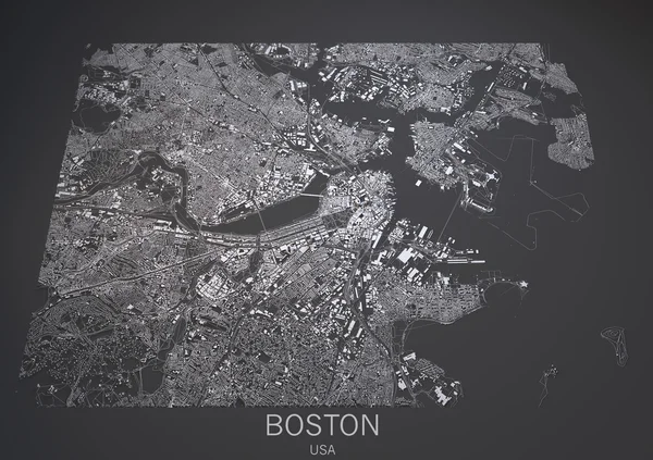
Stock image Boston streets and buildings map
Published:
May.15, 2015 11:09:00
Author:
vampy1
Views:
65
Downloads:
1
File type:
image
/
jpg
File size:
10.51 MB
Orginal size:
4724
x
3333
px
Available sizes:
S
(500 x 353)
M
(1000 x 706)
L
(2000 x 1411)
XL
(4724 x 3333)
EL0
(4724 x 3333)
Level:
silver
Download Image
Image topics:
Render
View
Design
Shape
Business
Board
Black
Connection
Modern
Gray
River
Graphics
Elements
Center
City
Development
Work
Information
Earth
Web
World
Usa
Globe
Collection
Map
Buildings
State
Rendered
Great
America
Aerial
Satellite
United
States
Visualization
Follow
Heights
Boston
Expo
Similar stock images
Boston USA City Map In Retro Style. Outline Map.
8150 × 4702
Simple Map Of Boston, Massachusetts, USA. Black And White Version For Clean Backgrounds And Prints. This Map Of Boston Contains Three Markers Who Are Grouped And Can Be Moved Separetly In Vector Version.
8000 × 6376
Boston United States North America City Map Black White Vector Illustration
2210 × 2457
Boston USA City Map In Retro Style. Outline Map. Vector Illustration.
8150 × 4702
Simple Map Of Worcester, Massachusetts, USA. Black And White Version For Backgrounds. This Map Of Worcester Contains Three Markers Who Are Grouped And Can Be Moved Separetly In Vector Version.
8000 × 6375
Typographical Geometric Map Of Boston City
3513 × 5000
New York City Map 3D Rendering. Aerial Satellite View.
5000 × 3000
Dallas Satellite Map View
4473 × 2970