Home
Images
Vectors
Videos
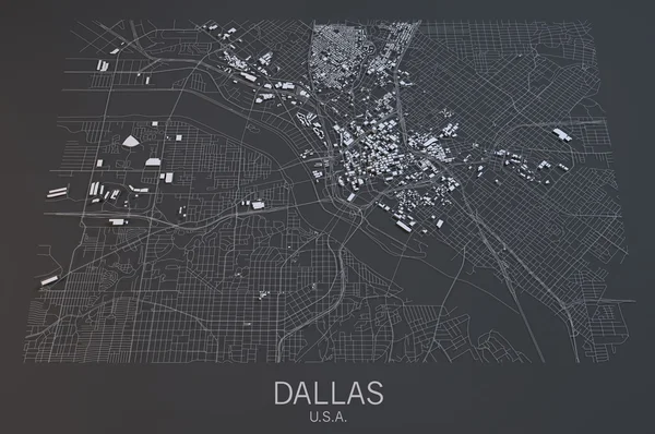
Stock image Dallas satellite map view
Published:
Mar.01, 2016 08:05:13
Author:
vampy1
Views:
85
Downloads:
1
File type:
image
/
jpg
File size:
7.1 MB
Orginal size:
4473
x
2970
px
Available sizes:
S
(500 x 332)
M
(1000 x 664)
L
(2000 x 1328)
XL
(4473 x 2970)
EL0
(4473 x 2970)
Level:
silver
Download Image
Image topics:
White
Background
View
Design
Abstract
Black
Dark
3d
Modern
Create
Center
City
Construction
Structure
Urban
Usa
Floor
Negative
Study
Map
Plan
Construct
Housing
Buildings
Great
Aerial
Satellite
Britain
Roads
Streets
Analyze
Imagine
Urbanization
Dallas
Polygons
Similar stock images
Las Vegas Map, Satellite View
4724 × 3149
Map Of San Diego, USA
4724 × 3333
Detroit, Map, Satellite View
4724 × 3149
Map Of Los Angeles, USA
4847 × 3151
Map Of The City Of Dallas, Texas, USA
4943 × 6913
Boston Streets And Buildings Map
4724 × 3333
Philadelphia Map, Satellite View, Usa. 3d Rendering
4725 × 3150