photo free
Home Images Vectors Videos

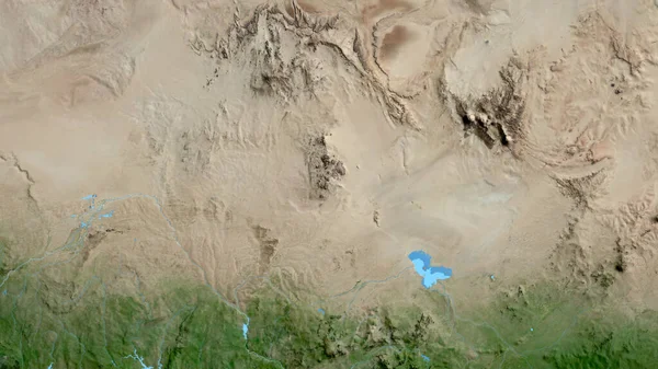
Stock image Boujdour, province of Western Sahara. Satellite imagery. Shape outlined against its country area. 3D rendering

Stock image Boujdour, province of Western Sahara. Satellite imagery. Shape outlined against its country area. 3D rendering
Published: Sep.16, 2020 09:08:10
Author: Yarr65
Views: 2
Downloads: 0
File type: image / jpg
File size: 5.21 MB
Orginal size: 2880 x 1620 px
Available sizes:
S
(500 x 281)
M
(1000 x 563)
L
(2000 x 1125)
XL
(2880 x 1620)
EL0
(2880 x 1620)
Level: bronze
Download Image
Image topics:

Similar stock images

stock image Marsabit, county of Kenya. Satellite imagery. Shape outlined against its country area. 3D rendering

Marsabit, County Of Kenya. Satellite Imagery. Shape Outlined Against Its Country Area. 3D Rendering

2880 × 1620
stock image Close-up of the Afghanistan border area on a satellite map. Capital point. Outline around the country shape.

Close-up Of The Afghanistan Border Area On A Satellite Map. Capital Point. Outline Around The Country Shape.

3840 × 2160
stock image   vertical abstract photography of the deserts of Africa from the air, aerial view of desert landscapes, Genre: Abstract Naturalism, from the abstract to the figurative,

Vertical Abstract Photography Of The Deserts Of Africa From The Air, Aerial View Of Desert Landscapes, Genre: Abstract Naturalism, From The Abstract To The Figurative,

2531 × 4800
stock image Rocky landscape in Grand Canyon

Rocky Landscape In Grand Canyon

2500 × 1875
stock image Es Semara, province of Western Sahara. Satellite imagery. Shape outlined against its country area. 3D rendering

Es Semara, Province Of Western Sahara. Satellite Imagery. Shape Outlined Against Its Country Area. 3D Rendering

2880 × 1620
stock image aerial scene of the barren land due to soil mining activity.

Aerial Scene Of The Barren Land Due To Soil Mining Activity.

4000 × 3000
stock image Potosi, department of Bolivia. High resolution satellite map

Potosi, Department Of Bolivia. High Resolution Satellite Map

3840 × 2880
stock image Close-up of asatellite map centered on Niger

Close-up Of Asatellite Map Centered On Niger

3840 × 2160