photo free
Home Images Vectors Videos

Stock image Brava Island in the North Atlantic Ocean, belonging to Cape Verde, isolated on a satellite image taken in December 12, 2023, with distance scale

Stock image Brava Island in the North Atlantic Ocean, belonging to Cape Verde, isolated on a satellite image taken in December 12, 2023, with distance scale
Published: Sep.11, 2024 14:05:41
Author: zelwanka
Views: 0
Downloads: 0
File type: image / jpg
File size: 2.2 MB
Orginal size: 2160 x 2160 px
Available sizes:
S
(500 x 500)
M
(1000 x 1000)
L
(2000 x 2000)
XL
(2160 x 2160)
EL0
(2160 x 2160)
Level: beginner
Download Image
Image topics:

Similar stock images

stock image Shape of a high resolution satellite map of the Slovenia, with distance scale and map border coordinates, isolated on white

Shape Of A High Resolution Satellite Map Of The Slovenia, With Distance Scale And Map Border Coordinates, Isolated On White

2556 × 1760
stock image Shape of Tizi Ouzou, province of Algeria, with its capital isolated on white background. Topographic relief map. 3D rendering

Shape Of Tizi Ouzou, Province Of Algeria, With Its Capital Isolated On White Background. Topographic Relief Map. 3D Rendering

3836 × 2462
stock image Shape of a high resolution satellite map of the Turkiye, with distance scale and map border coordinates, isolated on white

Shape Of A High Resolution Satellite Map Of The Turkiye, With Distance Scale And Map Border Coordinates, Isolated On White

3055 × 1472
stock image Osh, city of Kyrgyzstan. Sentinel-2 satellite imagery. Shape isolated on white. Description, location of the capital. Contains modified Copernicus Sentinel data

Osh, City Of Kyrgyzstan. Sentinel-2 Satellite Imagery. Shape Isolated On White. Description, Location Of The Capital. Contains Modified Copernicus Sentinel Data

3594 × 2782
stock image Shape of a high resolution satellite map of the Afghanistan, with distance scale and map border coordinates, isolated on white

Shape Of A High Resolution Satellite Map Of The Afghanistan, With Distance Scale And Map Border Coordinates, Isolated On White

2354 × 1910
stock image Area of Parana, state of Brazil, isolated on a solid background in a georeferenced bounding box. Labels. Topographic relief map. 3D rendering

Area Of Parana, State Of Brazil, Isolated On A Solid Background In A Georeferenced Bounding Box. Labels. Topographic Relief Map. 3D Rendering

2880 × 1620
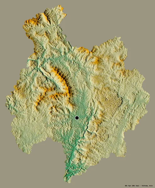
stock image Shape of Bac Kan, province of Vietnam, with its capital isolated on a solid color background. Topographic relief map. 3D rendering

Shape Of Bac Kan, Province Of Vietnam, With Its Capital Isolated On A Solid Color Background. Topographic Relief Map. 3D Rendering

3154 × 3836
stock image Yukhari-Karabakh, region of Azerbaijan. Sentinel-2 satellite imagery. Shape isolated on solid background with informative overlays. Contains modified Copernicus Sentinel data

Yukhari-Karabakh, Region Of Azerbaijan. Sentinel-2 Satellite Imagery. Shape Isolated On Solid Background With Informative Overlays. Contains Modified Copernicus Sentinel Data

3130 × 3194