Home
Images
Vectors
Videos
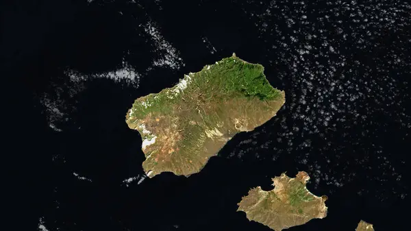
Stock image Brava Island in the North Atlantic Ocean on a satellite image taken in March 11, 2024
Published:
Sep.12, 2024 07:13:59
Author:
zelwanka
Views:
0
Downloads:
0
File type:
image
/
jpg
File size:
4.74 MB
Orginal size:
2880
x
1620
px
Available sizes:
S
(500 x 281)
M
(1000 x 563)
L
(2000 x 1125)
XL
(2880 x 1620)
EL0
(2880 x 1620)
Level:
beginner
Download Image
Image topics:
Shape
Nature
Border
Contour
Earth
Planet
World
Ocean
Science
Imagery
Outline
Country
Map
Geography
Africa
Continent
Land
Zoom
Island
Satellite
Region
Territory
Atlas
Stereographic
Cape Verde
North Atlantic Ocean
Cpv
Brava Island
Ilhas De Sotavento
Similar stock images
Sardegna, Autonomous Region Of Italy. Low Resolution Satellite Map
3840 × 2880
Santo Antao Island In The North Atlantic Ocean On A Satellite Image Taken In October 18, 2020
2880 × 1620
Kalymnos Island In The Aegean Sea On A Satellite Image Taken In May 22, 2021
2880 × 1620
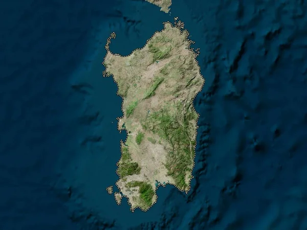
Minorca Island In The Balearic (Iberian Sea) On A Satellite Image Taken In August 7, 2023
2880 × 1620
Lanzarote Island In The North Atlantic Ocean On A Satellite Image Taken In December 23, 2022
2880 × 1620
Sardegna, Autonomous Region Of Italy. High Resolution Satellite Map
3840 × 2880
Isola Di Lampedusa In The Mediterranean Sea - Eastern Basin On A Satellite Image Taken In October 9, 2023
2880 × 1620
Crete, Decentralized Administration Of Greece. Low Resolution Satellite Map
3840 × 2880