Home
Images
Vectors
Videos
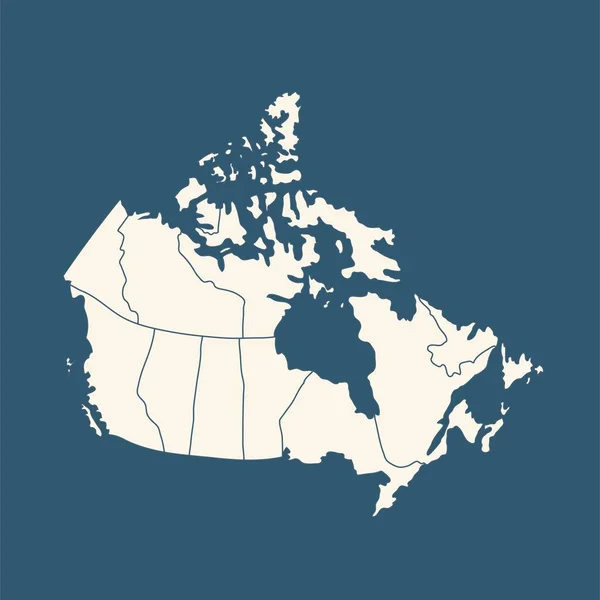
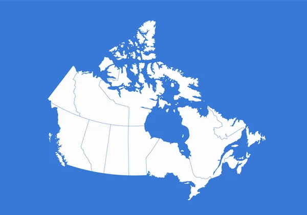
Stock image Canada map, administrative divisions, blue background, blank
Published:
Dec.13, 2021 15:19:16
Author:
Mondi.h
Views:
1
Downloads:
0
File type:
image
/
jpg
File size:
1.56 MB
Orginal size:
5702
x
4000
px
Available sizes:
S
(500 x 351)
M
(1000 x 702)
L
(2000 x 1403)
XL
(5702 x 4000)
EL0
(5702 x 4000)
Level:
bronze
Download Image
Image topics:
Color
Colors
White
Blue
Background
Graphic
Illustration
Design
Isolated
Sign
Travel
Silhouette
Symbol
Blank
Contour
Earth
World
American
Tourism
North
Raster
Individual
Outline
Country
Map
Cartography
Geography
Continent
State
Separate
America
Political
Canada
States
Islands
Region
Canadian
Atlas
Ontario
Ottawa
Mapping
Quebec
Alberta
Regions
Isolated On White
British Columbia
Newfoundland And Labrador
Canada Map
Wall Map
Administrative Division
Similar stock images
Map Of Canada
5000 × 4000
Blue Map Of Canada Vector Illustration Isolated On White Background
5000 × 5000
Light Blue Design Concept Of Country Canada Map Isolated On Dark Green Background - Vector Illustration
5000 × 4000
Map Of Canada In Blue Colour
5000 × 4000
Canada Map - Vector Solid Contour. Illustration
5209 × 5209
Canada Country Political Map. Detailed Vector Illustration With Isolated States, Islands And Cities Easy To Ungroup.
4801 × 4800
Canada Map, Administrative Division, Blue White Card Paper 3D Blank
5033 × 3800
Blank Map Of Canada. Blank White Similar Canada Map Isolated On Gray Background. North American Country With Shadow. Flat Design. Vector Illustration EPS10.
5000 × 5000