Home
Images
Vectors
Videos
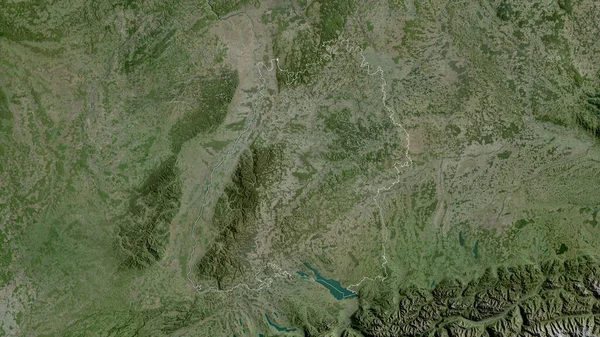
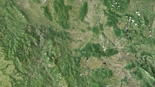
Stock image Cao Bang, province of Vietnam. Satellite imagery. Shape outlined against its country area. 3D rendering.
Published:
Sep.16, 2020 07:19:09
Author:
Yarr65
Views:
0
Downloads:
0
File type:
image
/
jpg
File size:
7.82 MB
Orginal size:
2880
x
1620
px
Available sizes:
S
(500 x 281)
M
(1000 x 563)
L
(2000 x 1125)
XL
(2880 x 1620)
EL0
(2880 x 1620)
Level:
bronze
Download Image
Image topics:
View
Shape
Travel
Nature
Border
Landscape
Glow
Contour
Scale
Earth
Planet
World
Ocean
Science
Capital
Profile
Outline
Country
Map
Cartography
Geography
Continent
Land
Zoom
Asia
Vietnam
Satellite
Hanoi
Region
Territory
Outlined
Atlas
Province
Legend
Overlay
3d Rendering
Cao Bang
Subregion
Vnm
Administrative Division
Similar stock images
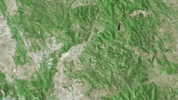
Bac Kan, Province Of Vietnam. Satellite Imagery. Shape Outlined Against Its Country Area. 3D Rendering.
2880 × 1620
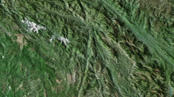
Tuyen Quang, Province Of Vietnam. Satellite Imagery. Shape Outlined Against Its Country Area. 3D Rendering.
2880 × 1620
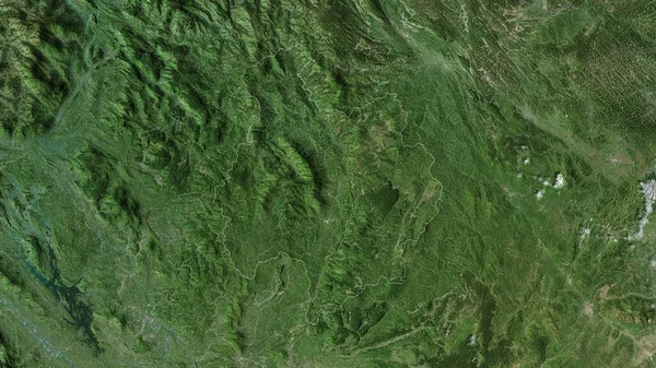
Rasinski, District Of Serbia. Satellite Imagery. Shape Outlined Against Its Country Area. 3D Rendering
2880 × 1620
Baja Verapaz, Department Of Guatemala. Satellite Imagery. Shape Outlined Against Its Country Area. 3D Rendering
2880 × 1620
Toplicki, District Of Serbia. Satellite Imagery. Shape Outlined Against Its Country Area. 3D Rendering
2880 × 1620
Baden-Wurttemberg , State Of Germany. Satellite Imagery. Shape Outlined Against Its Country Area. 3D Rendering
2880 × 1620
Pcinjski, District Of Serbia. Satellite Imagery. Shape Outlined Against Its Country Area. 3D Rendering.
2880 × 1620
Lai Chau , Province Of Vietnam. Satellite Imagery. Shape Outlined Against Its Country Area. 3D Rendering
2880 × 1620