Home
Images
Vectors
Videos
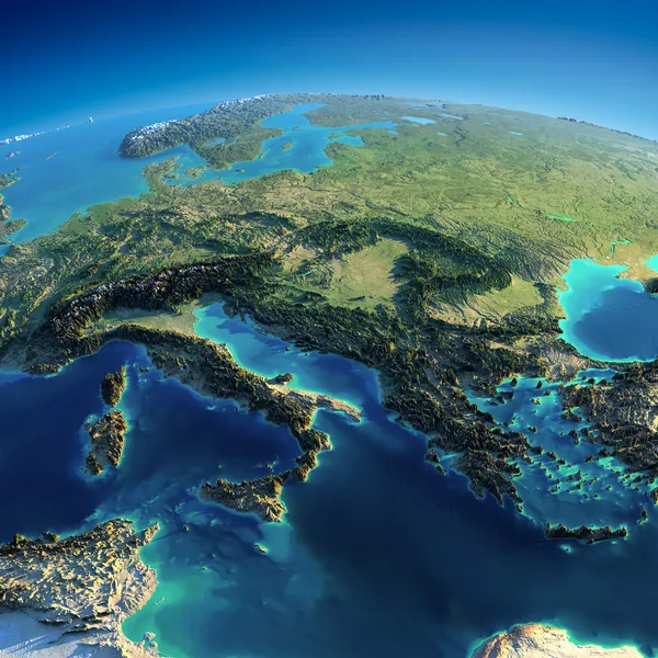
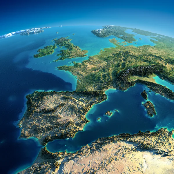
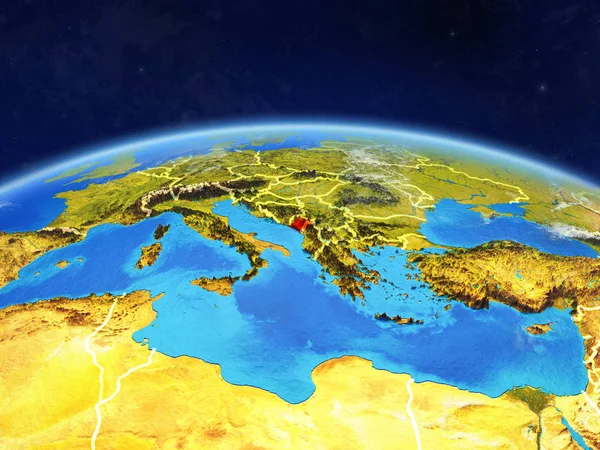
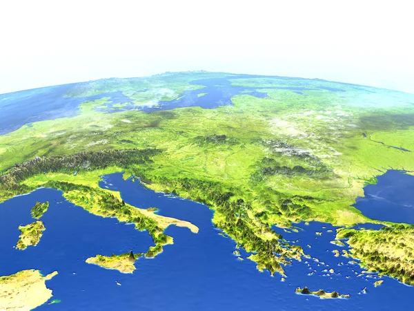
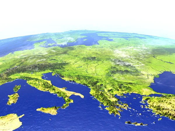
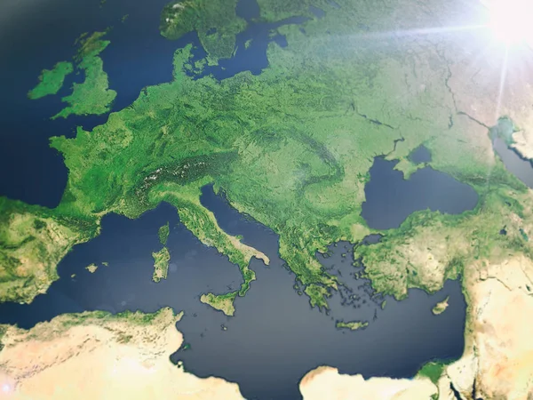
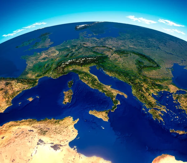
Stock image Central Mediterranean map, physical map, South and Central Europe. 3d render, reliefs and mountains. Mediterranean. Italy, France, Spain, Germany, Greece, Tunisia. Immigrant landings. Elements of this image are furnished by Nasa
Published:
Nov.23, 2020 07:45:08
Author:
vampy1
Views:
71
Downloads:
5
File type:
image
/
jpg
File size:
12.69 MB
Orginal size:
4822
x
4206
px
Available sizes:
S
(500 x 436)
M
(1000 x 872)
L
(2000 x 1745)
XL
(4822 x 4206)
EL0
(4822 x 4206)
Level:
silver
Download Image
Image topics:
Blue
Brown
Sea
European
River
City
Cross
Physical
Earth
World
Italy
France
Relief
Detailed
Scandinavia
Europe
Country
Map
Cartography
Geography
Africa
Algeria
Germany
Land
Mediterranean
Spain
Greece
Topography
Countries
Sardinia
Alps
Atlantic
Croatia
Boats
Continents
Territory
Atlas
Sicily
Tunisia
Immigrants
Balkan
Topographic
3d Render
World Map
Atlantic Ocean
Satellite View
Bathymetry
Physical Map
Similar stock images
Detailed Earth. Italy, Greece And The Mediterranean Sea
5000 × 5000
Detailed Earth. Spain And The Mediterranean Sea
5000 × 5000
Montenegro On Planet Earth With Country Borders And Highly Detailed Planet Surface And Clouds. 3D Illustration. Elements Of This Image Furnished By NASA.
5000 × 3750
Adriatic Sea Region On Planet Earth
5000 × 3750
Iberia From Space
5000 × 3750
Adriatic Sea Region On Realistic Model Of Earth
5000 × 3750
Europe From Space As 3d Rendering
4000 × 3000
Israel From Space
5000 × 3750