photo free
Home Images Vectors Videos

Stock image Chernivtsi, region of Ukraine. Satellite imagery. Shape presented against its country area with informative overlays. 3D rendering

Stock image Chernivtsi, region of Ukraine. Satellite imagery. Shape presented against its country area with informative overlays. 3D rendering
Published: Aug.21, 2020 09:11:13
Author: Yarr65
Views: 9
Downloads: 1
File type: image / jpg
File size: 5.98 MB
Orginal size: 2880 x 1620 px
Available sizes:
S
(500 x 281)
M
(1000 x 563)
L
(2000 x 1125)
XL
(2880 x 1620)
EL0
(2880 x 1620)
Level: bronze
Download Image
Image topics:

Similar stock images

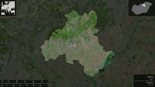
stock image Heves, county of Hungary. Satellite imagery. Shape presented against its country area with informative overlays. 3D rendering

Heves, County Of Hungary. Satellite Imagery. Shape Presented Against Its Country Area With Informative Overlays. 3D Rendering

2880 × 1620
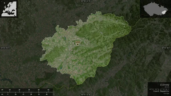
stock image Zlinsky, region of Czech Republic. Satellite imagery. Shape presented against its country area with informative overlays. 3D rendering

Zlinsky, Region Of Czech Republic. Satellite Imagery. Shape Presented Against Its Country Area With Informative Overlays. 3D Rendering

2880 × 1620
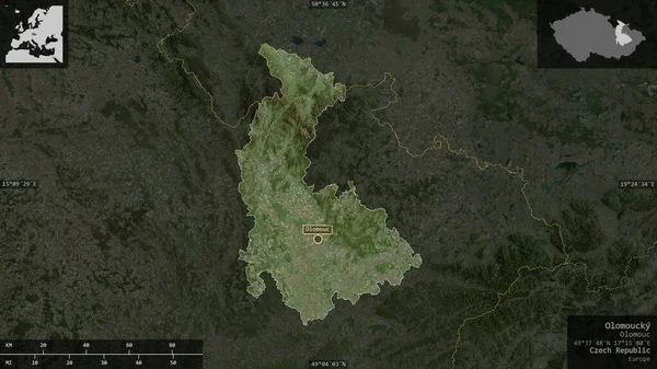
stock image Olomoucky , region of Czech Republic. Satellite imagery. Shape presented against its country area with informative overlays. 3D rendering

Olomoucky , Region Of Czech Republic. Satellite Imagery. Shape Presented Against Its Country Area With Informative Overlays. 3D Rendering

2880 × 1620
stock image Grad Zagreb, city of Croatia. Satellite imagery. Shape presented against its country area with informative overlays. 3D rendering

Grad Zagreb, City Of Croatia. Satellite Imagery. Shape Presented Against Its Country Area With Informative Overlays. 3D Rendering

2880 × 1620
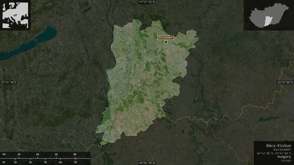
stock image Bacs-Kiskun, county of Hungary. Satellite imagery. Shape presented against its country area with informative overlays. 3D rendering

Bacs-Kiskun, County Of Hungary. Satellite Imagery. Shape Presented Against Its Country Area With Informative Overlays. 3D Rendering

2880 × 1620
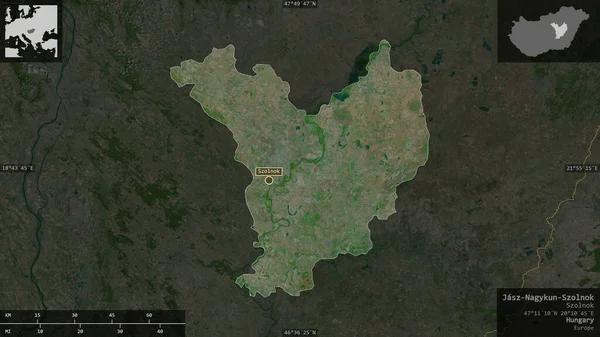
stock image Jasz-Nagykun-Szolnok, county of Hungary. Satellite imagery. Shape presented against its country area with informative overlays. 3D rendering

Jasz-Nagykun-Szolnok, County Of Hungary. Satellite Imagery. Shape Presented Against Its Country Area With Informative Overlays. 3D Rendering

2880 × 1620
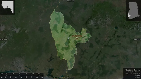
stock image Western North, region of Ghana. Satellite imagery. Shape presented against its country area with informative overlays. 3D rendering

Western North, Region Of Ghana. Satellite Imagery. Shape Presented Against Its Country Area With Informative Overlays. 3D Rendering

2880 × 1620
stock image Greater Poland, voivodeship of Poland. Satellite imagery. Shape presented against its country area with informative overlays. 3D rendering

Greater Poland, Voivodeship Of Poland. Satellite Imagery. Shape Presented Against Its Country Area With Informative Overlays. 3D Rendering

2880 × 1620