photo free
Home Images Vectors Videos

Stock image Clare Island in the North Atlantic Ocean on a topographic, OSM Humanitarian style map
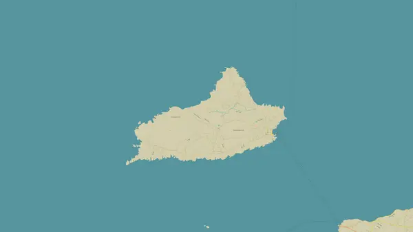
Stock image Clare Island in the North Atlantic Ocean on a topographic, OSM Humanitarian style map
Published: Sep.12, 2024 07:31:26
Author: zelwanka
Views: 0
Downloads: 0
File type: image / jpg
File size: 0.45 MB
Orginal size: 2880 x 1620 px
Available sizes:
S
(500 x 281)
M
(1000 x 563)
L
(2000 x 1125)
XL
(2880 x 1620)
EL0
(2880 x 1620)
Level: beginner
Download Image
Image topics:

Similar stock images

stock image Anguilla outlined on a topographic, OSM Humanitarian style map

Anguilla Outlined On A Topographic, OSM Humanitarian Style Map

2688 × 1512
stock image Grenada outlined on a topographic, OSM Humanitarian style map

Grenada Outlined On A Topographic, OSM Humanitarian Style Map

2688 × 1512
stock image Grenada outlined on a topographic, OSM Humanitarian style map

Grenada Outlined On A Topographic, OSM Humanitarian Style Map

2688 × 1512
stock image Grenada outlined on a topographic, OSM Humanitarian style map

Grenada Outlined On A Topographic, OSM Humanitarian Style Map

2688 × 1512
stock image Grenada outlined on a topographic, OSM Humanitarian style map

Grenada Outlined On A Topographic, OSM Humanitarian Style Map

2688 × 1512
stock image Dili, municipality of East Timor. Open Street Map

Dili, Municipality Of East Timor. Open Street Map

3840 × 2880
stock image Andros Island in the Aegean Sea on a topographic, OSM Humanitarian style map

Andros Island In The Aegean Sea On A Topographic, OSM Humanitarian Style Map

2880 × 1620