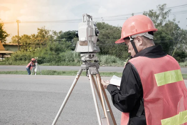
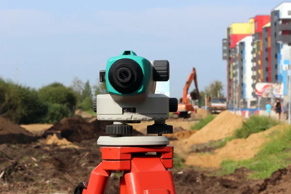
Stock image Close-up of surveyor optical equipment tacheometer or theodolite on construction site with selective focus and blurred background

Published: Feb.22, 2023 09:03:55
Author: Iren_Miller
Views: 5
Downloads: 1
File type: image / jpg
File size: 3.51 MB
Orginal size: 4000 x 2667 px
Available sizes:
Level: bronze