
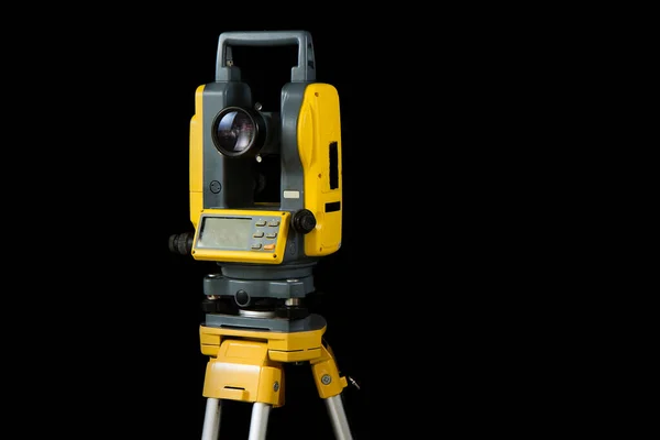
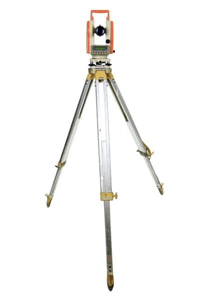
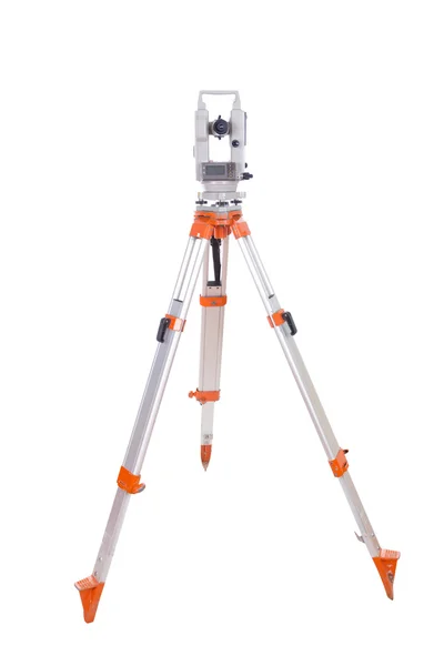
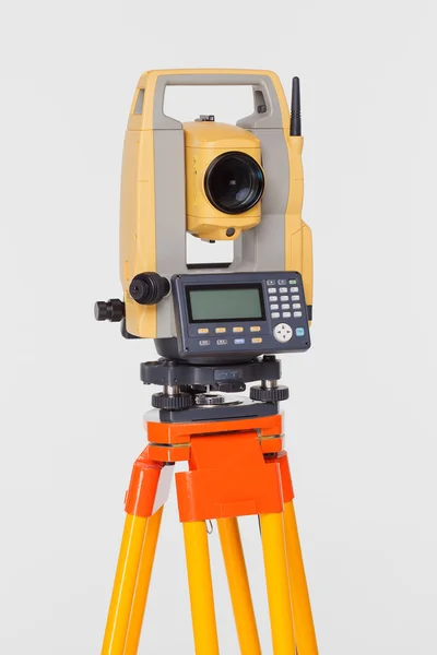
Stock image Geodetic Measurement

Theodolite Or Total Positioning Station On Tripod. Land Surveyor Equipment. Isolated On Black Background
Image, 3.63MB, 3456 × 5184 jpg
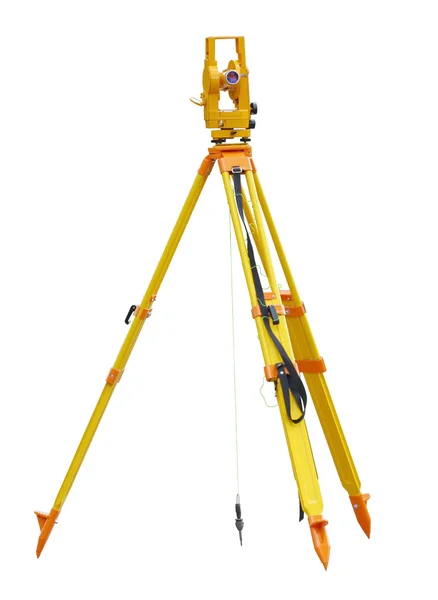
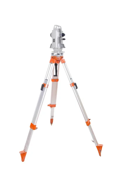
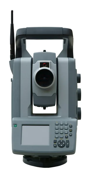
Theodolite Or Total Positioning Station On Tripod. Land Surveyor Equipment. Isolated On Black Background
Image, 2.52MB, 5184 × 3456 jpg
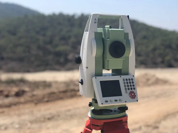
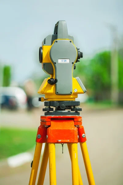
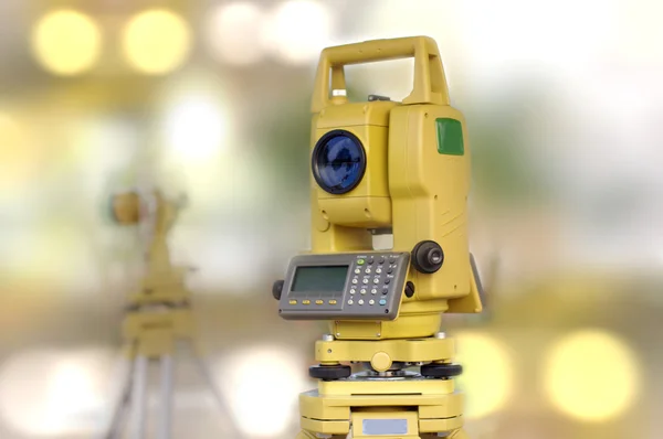
Geodetic Total Station On The Construction Site Against Blurred Background
Image, 0.36MB, 4032 × 3024 jpg

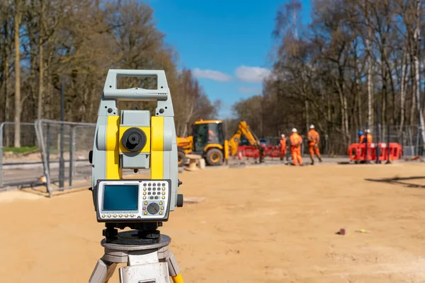
Geodetic Total Station On The Construction Site Against Blurred Machinery At The Background
Image, 1.64MB, 4032 × 3024 jpg

Front Of Surveyors Equipment (theodolite Or Total Positioning Station) On The Construction Site Of The Road Or Building With Construction Machinery Background
Image, 13.76MB, 7952 × 5304 jpg
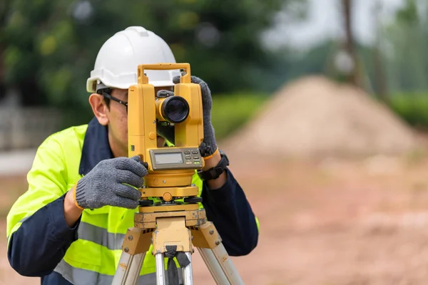
Surveyor Civil Engineer Using Equipment Theodolite Or Total Positioning Station On The Construction Site.
Image, 15.44MB, 7952 × 5304 jpg
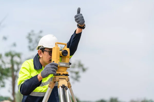
Surveyor Civil Engineer Thumbs Up With Equipment On The Construction Site.
Image, 10.85MB, 7952 × 5304 jpg

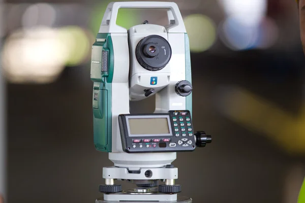
Close-up Of Surveyor Optical Equipment Tacheometer Or Theodolite On Construction Site With Selective Focus And Blurred Background
Image, 3.51MB, 4000 × 2667 jpg

Geological Field Work Exploration Website Landing Page. Geologist With Ruler Searching Minerals Sample With Geodetic Measurement Instruments Web Page Banner. Cartoon Flat Vector Illustration, Line Art
Vector, 0.81MB, 6957 × 4000 eps
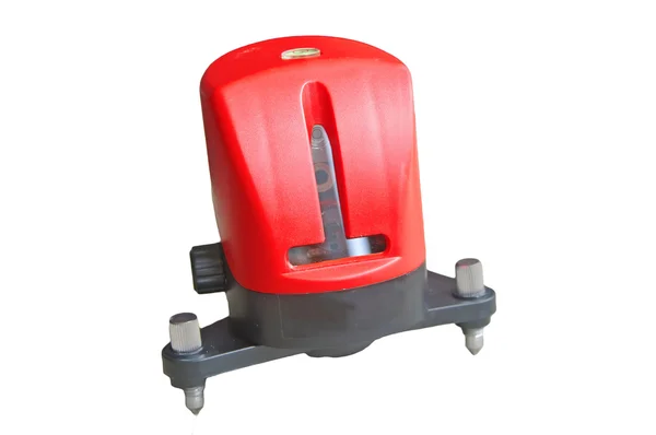
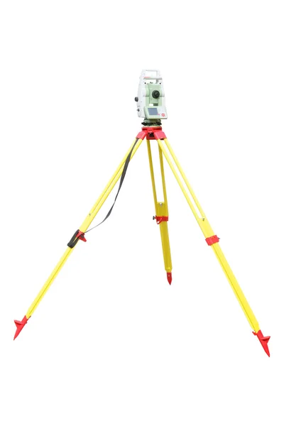
Yellow Equipment Set Out On Tripod On Building Site Against Cloudless Blue Sky. Construction Site Surveying Engineering Equipment, EDM, Tacheometer Set Out On Tripod Site Ready For Setting Out.
Image, 14.91MB, 7500 × 5003 jpg
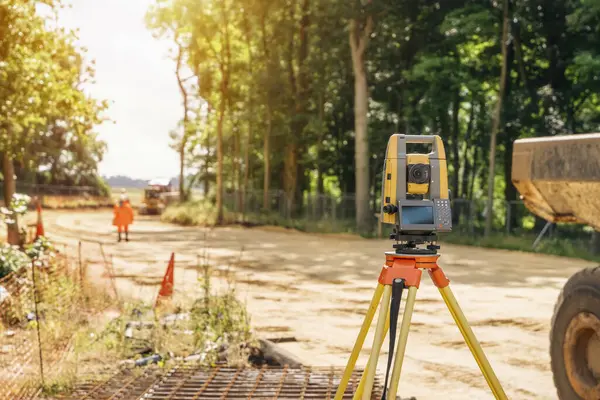
Surveying Equipment Tacheometer Or Theodolite Set By An Engineer During Roadworks At The Construction Site
Image, 23.48MB, 7952 × 5304 jpg

Geodesy Line Icon Concept. Geodesy Vector Linear Illustration, Symbol, Sign
Vector, 0.94MB, 6000 × 6000 eps

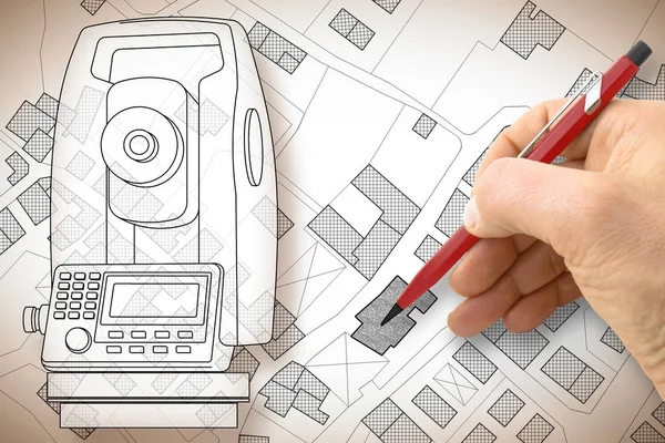
Planning A New City - Concept Image With An Imaginary Cadastral Map Of Territory With Buildings, Land Parcel And 3D Rendering Of A Geodesic Device, Called Total Station, Used To Survey And Draw Topographic Maps.
Image, 5.71MB, 4752 × 3168 jpg
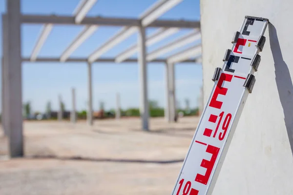
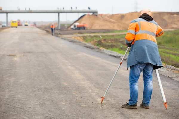
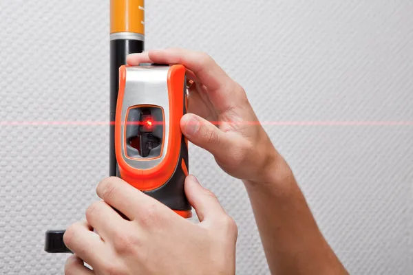
Telescopic Leveling Lath Is Helping Surveyor, Geodesist To Measure Position, Depth At Building Site.
Image, 5.6MB, 5184 × 3456 jpg


Page 1 >> Next