photo free
Home Images Vectors Videos

Stock image Commonwealth of Kentucky map
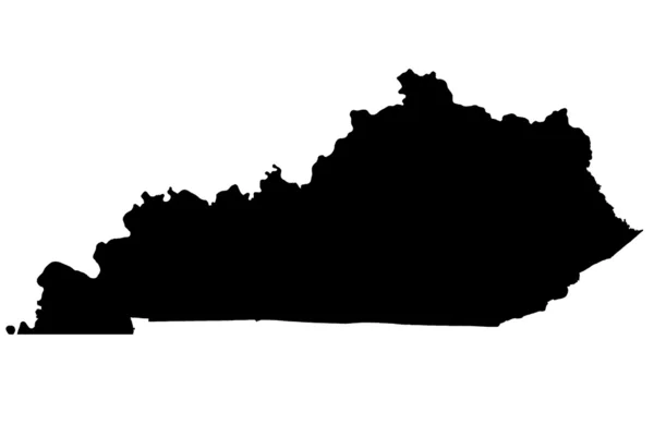
Stock image Commonwealth of Kentucky map
Published: Jun.20, 2012 10:15:03
Author: Ludvigcz
Views: 195
Downloads: 2
File type: image / jpg
File size: 0.88 MB
Orginal size: 4300 x 2800 px
Available sizes:
S
(500 x 326)
M
(1000 x 651)
L
(2000 x 1302)
XL
(4300 x 2800)
EL0
(4300 x 2800)
Level: bronze
Download Image
Image topics:

Similar stock images

stock vector Kentucky vector map silhouette isolated on white background. High detailed silhouette illustration. United state of America country.

Kentucky Vector Map Silhouette Isolated On White Background. High Detailed Silhouette Illustration. United State Of America Country.

5000 × 3200
stock vector design in black silhouette of the map of Kentucky in the United States on white background

Design In Black Silhouette Of The Map Of Kentucky In The United States On White Background

5000 × 3000
stock vector Kentucky US Map. KY USA State Map. Black and White Kentuckian State Border Boundary Line Outline Geography Territory Shape Vector Illustration EPS Clipart

Kentucky US Map. KY USA State Map. Black And White Kentuckian State Border Boundary Line Outline Geography Territory Shape Vector Illustration EPS Clipart

5000 × 4000
stock vector Map of Kentucky

Map Of Kentucky

5000 × 4000
stock vector Vector Kentucky Map silhouette. Isolated vector Illustration. Black on White background.

Vector Kentucky Map Silhouette. Isolated Vector Illustration. Black On White Background.

5712 × 4377
stock vector Kentucky country map silhouette in united states

Kentucky Country Map Silhouette In United States

5000 × 3000
stock vector Kentucky KY State Border USA Map Soild

Kentucky KY State Border USA Map Soild

8334 × 8334
stock vector Map of Kentucky

Map Of Kentucky

5000 × 4000