
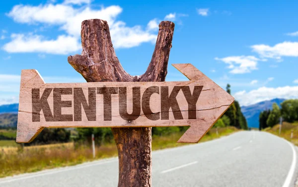
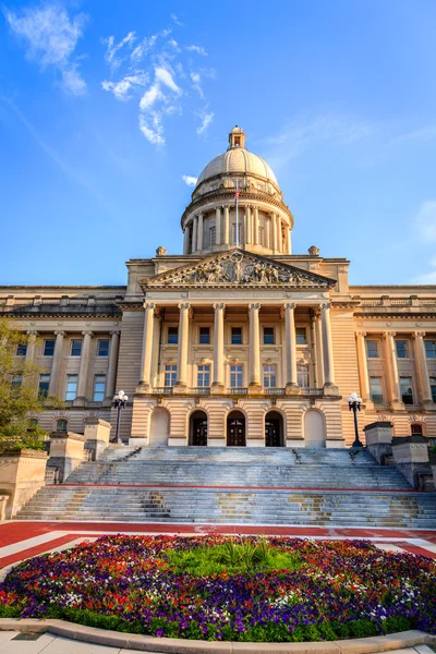
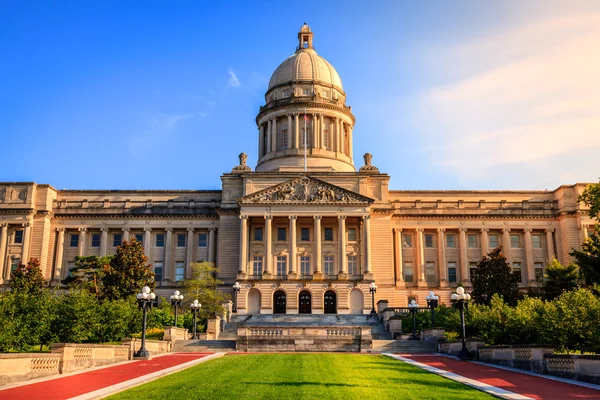
Stock image Commonwealth Of Kentucky


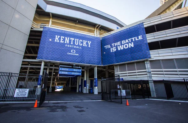
Lexington, Kentucky, USA - April 22, 2016: Entrance To The Commonwealth Stadium In Lexington, Kentucky. The Stadium Is Home To University Of Kentucky Wildcats Football Team.
Image, 10.32MB, 4841 × 3184 jpg

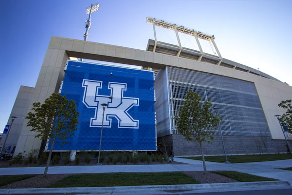
Lexington, Kentucky, USA - April 22, 2016: Entrance To The Commonwealth Stadium In Lexington, Kentucky. The Stadium Is Home To University Of Kentucky Wildcats Football Team.
Image, 9.44MB, 4957 × 2829 jpg


Kentucky Forest Landscape. River Flows Under A Wooden Pedestrian Footbridge Through A Beautiful Forest Landscape At Carter Caves State Park In Olive Hill, Kentucky.
Image, 16.39MB, 5184 × 3456 jpg

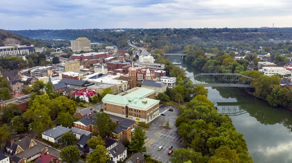
Aerial View Of Downtown Louisville, Kentucky. Louisville Is The Largest City In The Commonwealth Of Kentucky And The 29th Most-populous City In The United States.
Image, 2.3MB, 5272 × 3948 jpg


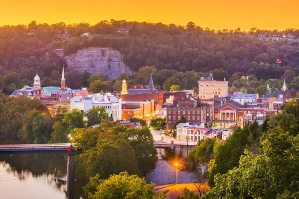
Frankfort, Kentucky, USA Town Skyline On The Kentucky River At Dusk.
Image, 37.97MB, 8256 × 5504 jpg

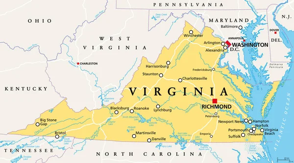
Virginia, VA, Political Map. Commonwealth Of Virginia. State In Southeastern And Mid-Atlantic Region Of The United States. Capital Richmond. Old Dominion. Mother Of Presidents. Illustration. Vector.
Vector, 5.44MB, 9000 × 4999 eps

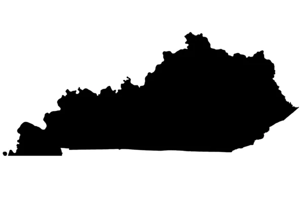
Shape Of Kentucky, State Of Mainland United States, With Its Capital Isolated On White Background. Colored Elevation Map. 3D Rendering
Image, 1.78MB, 3836 × 2059 jpg


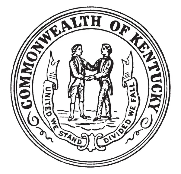
The Seal Of The Commonwealth Of Kentuck, Two Men Shaking Hands Facing Each Other With State Motto UNITED WE STAND, DIVIDED WE FLL, Vintage Line Drawing Or Engraving Illustration
Vector, 2.38MB, 8047 × 7731 eps


London, UK - November 20th 2018: The Symbol Of The State Of Kentucky, Pictured Over The Flag Of The United States Of America.
Image, 12.13MB, 5823 × 3886 jpg

High Detailed Flag Of Kentucky. Kentucky State Flag, National Kentucky Flag. Flag Of State Kentucky. USA. America. 3D Illustration
Image, 1.06MB, 3840 × 2160 jpg


Page 1 >> Next